Viewing: 1-2 of 2
traderaaron - Mar 11, 2009 11:22 am - Hasn't voted
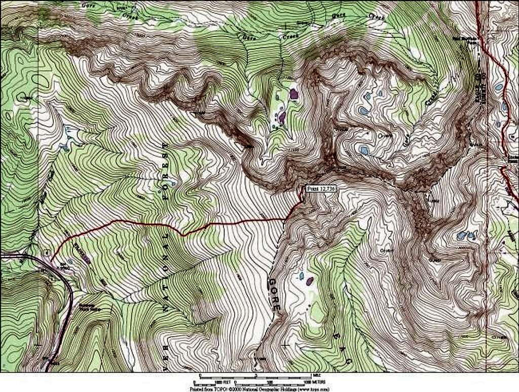
winter accessIs there parking here in the winter or will I get run over by a snowplow?
Kane - Mar 11, 2009 8:11 pm - Hasn't voted
Re: winter accessThis is actually a pretty good question. I think if you read my Getting There I explain the parking.
Viewing: 1-2 of 2


Comments
Post a Comment