Toggle navigation
Mountains
Routes
Images
Trip Reports
Forum
What's New
People
Areas & Ranges
Articles
Trailheads
Canyons
Huts & Campgrounds
Albums
Logistical Centers
Fact Sheets
Lists
Custom Objects
Gear
Plans & Partners
WELCOME TO SUMMITPOST
SIGN IN
REGISTER
My U.S. State Highpoints
Additional Parents
Image
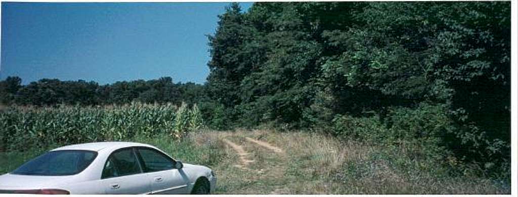
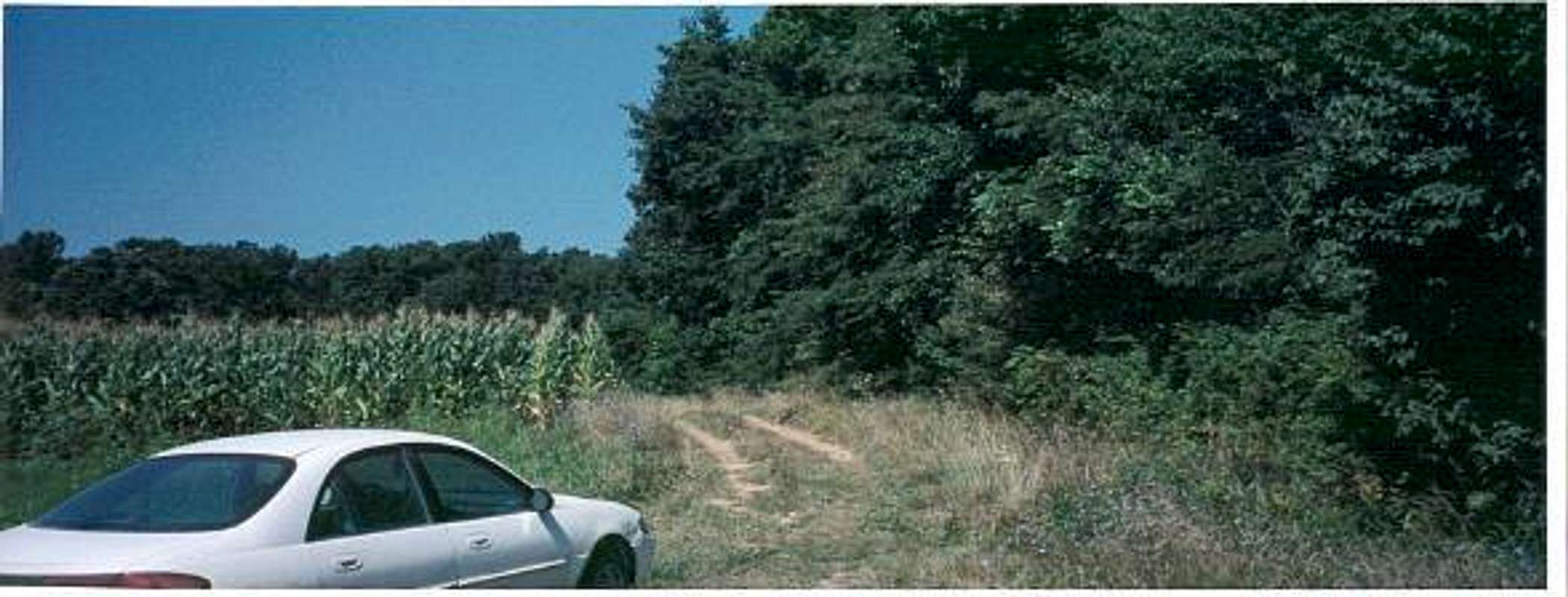
This is the trailhead on Cart...
View High-Resolution Image
This is the trailhead on Cart...
This is the trailhead on Cart Road, where you can park and reach the high point. It is on the left side of the road.
« PREV
NEXT »
hgrapid
on
Apr 30, 2004 11:24 am
Comments & voting
Other parents
Lat/Lon:
40.00040°N / 84.8504°W
Image ID:
51420
4415 Hits
71.76
% Score
3
Votes
Log in to vote
Comments
No comments posted yet.
to post!
Don't have an account?
My U.S. State Highpoints
(Trip Report)
« PREV
Viewing
#29 of 50
GALLERY
NEXT »
hgrapid's Image Gallery
« PREV
Viewing
#1869 of 5281
GALLERY
NEXT »
Hoosier Hill
(Mountain/Rock)
Loading....
×
You need to login in order to vote!
User Name
Password
Remember me
Forgot your password?
Log me out when I close my browser.
Keep me logged in all the time.
sign in as a user
Don't have an account?
Register now for FREE
Rating available
Suggested routes for you
People who climb the same things as you
Comments Available
Create Albums
Register Here


