Welcome to SP!  -   
 
 New features are here! - Read More... 
Areas & Ranges·Mountains & Rocks·Routes·Images·Articles·Trip Reports·Gear·Other·People·Plans & Partners·What's New·Forum

This is the view of the...

 
[ Sizes: Orig | Med | Small | Thumb ]
 This is the view of the...
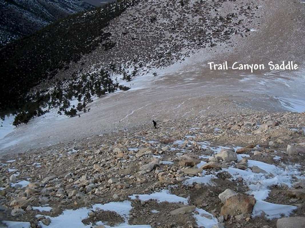
This is the view of the long, loose slog up from the Trail Canyon Saddle, where the Trail Canyon route and Queen Canyon route meet. It is at least as unpleasant as it looks. On this day, the winds were ferocious over the saddle. December 6, 2003


Comments

No comments posted yet.


Sign in to post!

Don't have an account? Register now.


Rate This Image
Current Score: 88.03

Log In To Vote
 Queen Mine Route (Route)


You are at
the First
Image

Viewing
#1 of 23
GALLERY
 The view of the north side...
NEXT »

 bearbnz's Image Gallery

 The summit of the Incredible...
« PREV

Viewing
#20 of 402
GALLERY
User Profile Image
NEXT »


 Boundary Peak (Nevada) (Mountain/Rock)


Image Data

bearbnzSubmitted by bearbnz
on Dec 9, 2003 10:17 pm

Image ID: 35200
Hits: 4431 

Lat/Lon: 37.84610°N / 118.35°W


"It is not the goal of grand alpinisme to face peril, but it is one of the tests one must undergo to deserve the joy of rising for an instant above the state of crawling grubs"   --Lionel Terray   

© 2006-2012 SummitPost.org. All Rights Reserved.