Toggle navigation
Mountains
Routes
Images
Trip Reports
Forum
What's New
People
Areas & Ranges
Articles
Trailheads
Canyons
Huts & Campgrounds
Albums
Logistical Centers
Fact Sheets
Lists
Custom Objects
Gear
Plans & Partners
WELCOME TO SUMMITPOST
SIGN IN
REGISTER
East Ridge
Additional Parents
Image
This map on load from SPer...
View High-Resolution Image
This map on load from SPer...
This map on load from SPer
Dean
. The actual topo of the area is a confusing maze of squiggly brown lines that is difficult to understand. I may try to post a topo of the route later.
« PREV
NEXT »
Dennis Poulin
on
Feb 1, 2006 11:14 am
Comments & voting
Other parents
Lat/Lon:
35.51300°N / 116.332°W
Image ID:
148766
3566 Hits
74.01
% Score
4
Votes
Log in to vote
Comments
Post a Comment
Viewing: 1-1 of 1
Dean
-
Feb 3, 2006 3:52 pm - Voted 10/10
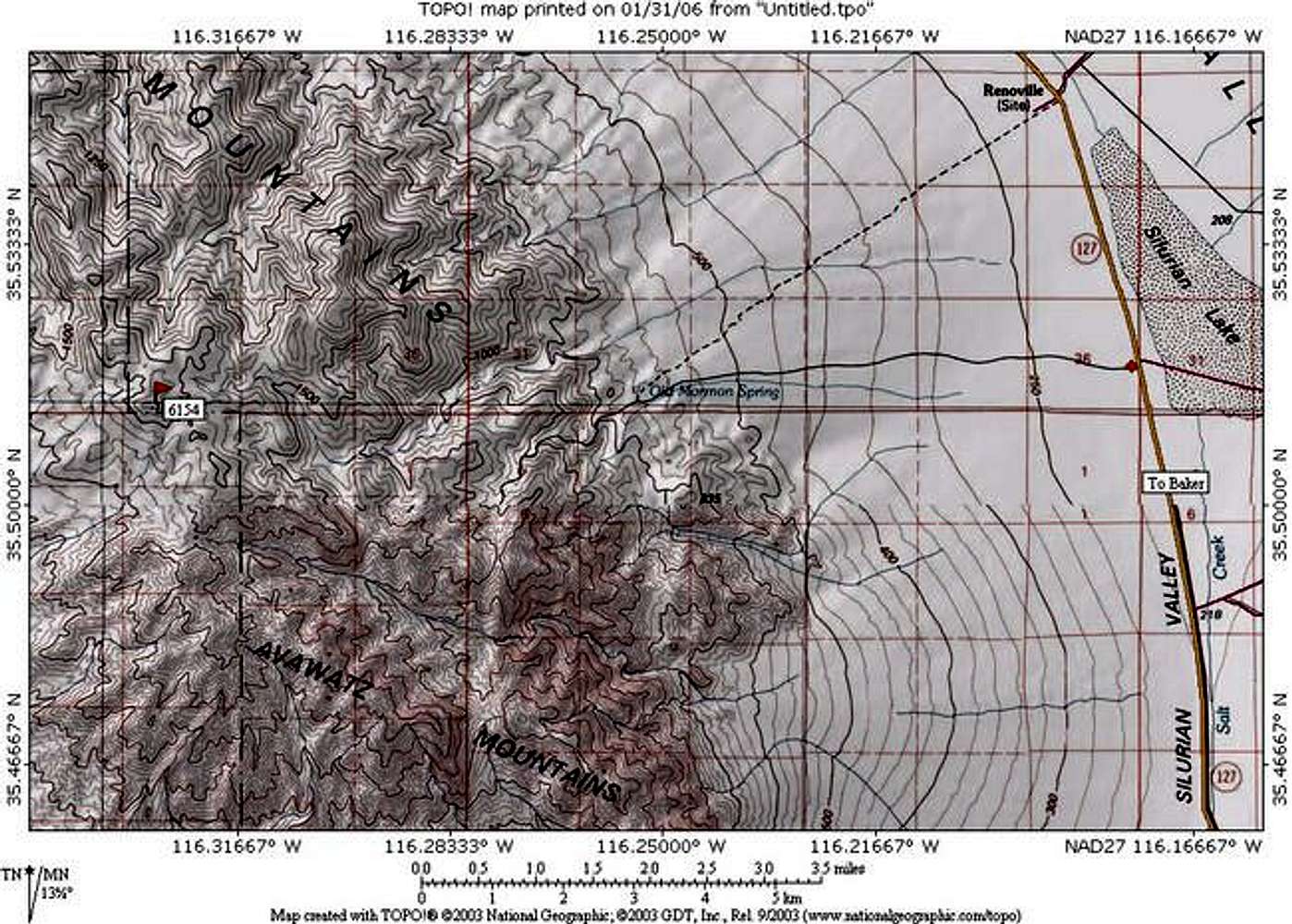
bigger map
Here's the bigger version of the above map.
Click here
Viewing: 1-1 of 1
to post!
Don't have an account?
East Ridge
(Route)
You are at
the First
Image
Viewing
#1 of 1
GALLERY
You are at
the Last
Image
Dennis Poulin's Image Gallery
« PREV
Viewing
#628 of 2055
GALLERY
NEXT »
Avawatz Mountain
(Mountain/Rock)
Loading....
×
You need to login in order to vote!
User Name
Password
Remember me
Forgot your password?
Log me out when I close my browser.
Keep me logged in all the time.
sign in as a user
Don't have an account?
Register now for FREE
Rating available
Suggested routes for you
People who climb the same things as you
Comments Available
Create Albums
Register Here
Comments
Post a Comment