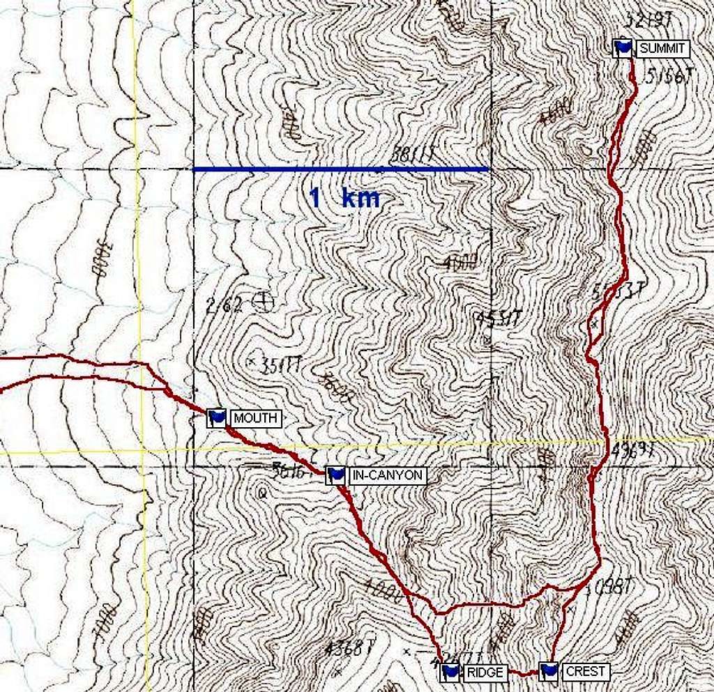
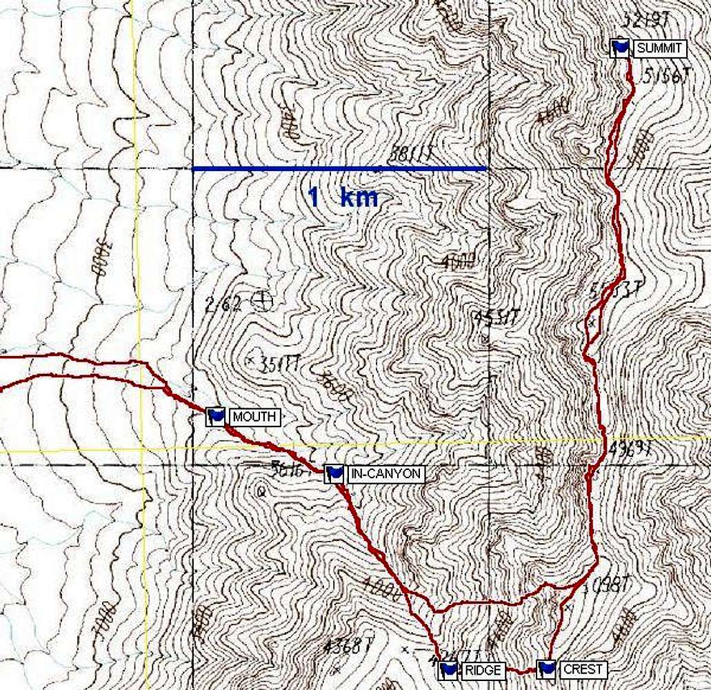
This map shows the waypoints...
This map shows the waypoints for the route to Peak 5219. DO NOT USE THIS MAP FOR HIKING; use it only to locate points on a larger map based on the 1986 USGS topo sheet. The red line shows a GPS trace. While an alternative descent/ascent is shown (to N of main route), it is safest to stick to the waypoint-delineated route.


