Viewing: 1-1 of 1
Ed F - Jun 12, 2005 7:52 pm - Hasn't voted
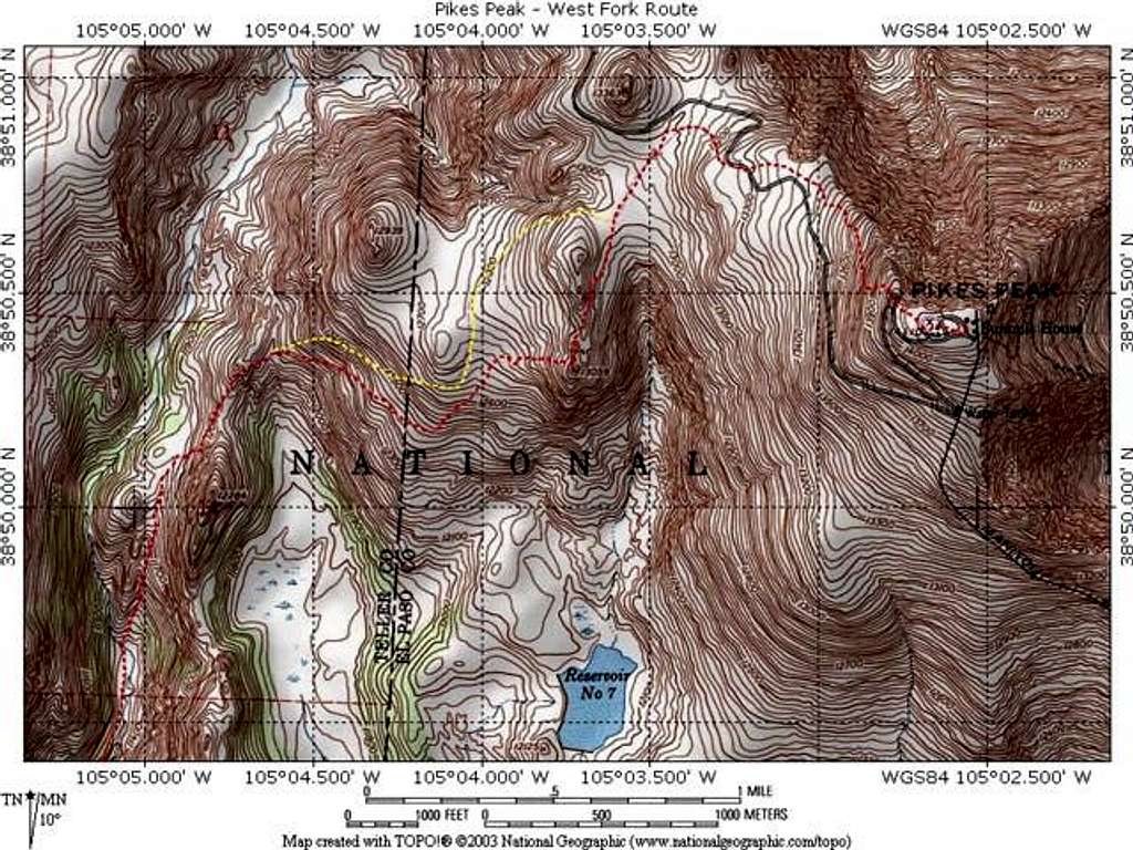
Great RouteThis looks like a great route. I always thought the trailhead down there was inaccessible due to private property. I tried to do some hiking there this winter, and I turned around because of all the signs. Thanks for the info.
-ed
Viewing: 1-1 of 1


Comments
Post a Comment