
Viewing: 1-1 of 1

Kane - Jul 14, 2005 10:21 pm - Voted 10/10
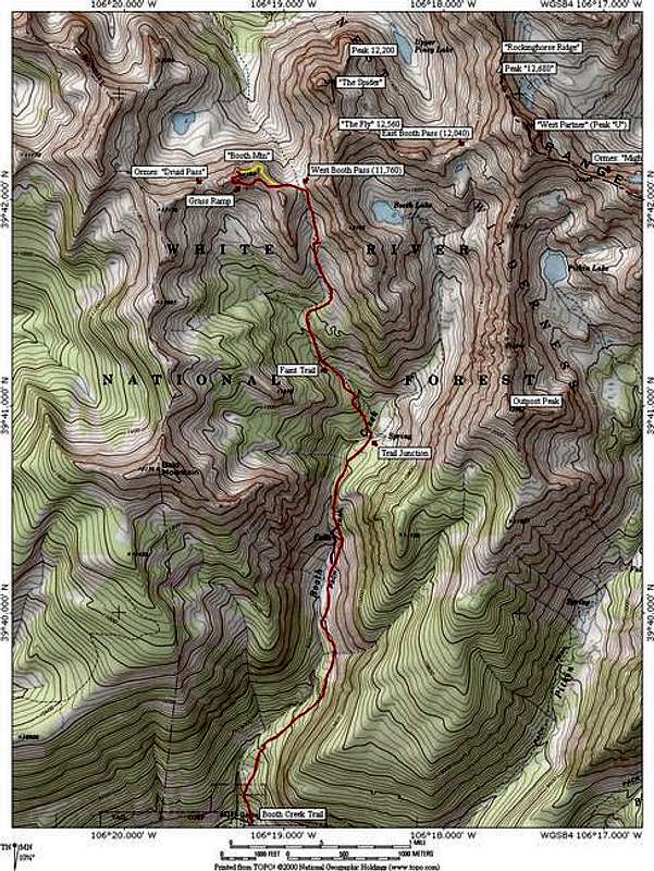
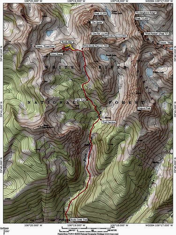
Jontry using a magnifacation of around 75 to 80% on your TOPOS, that way we can read them better. You'll have to cut ot some of the approach but most members don't care about that.
Viewing: 1-1 of 1


Comments
Post a Comment