
|
|
Trailhead |
|---|---|
|
|
43.15889°N / 73.04132°W |
|
|
Spring, Summer, Fall, Winter |
|
|
750 ft / 229 m |
Overview
The Lye Brook Trail leads to many interesting places. First is Lye Brook Falls, one of Vermonts tallest. Also, Stratton Mountain (the birthplace of the Long Trail & Appalachian Trail) can be reached in 13 miles and 3200 ft. elevation gain. Many attractive campsites exist along the way at Bourn Pond and Stratton Pond. At the time I was there, (Oct, 06), there were many fresh moose tracks although they managed to elude me during my 2 day, 26 mile backpack.Directions:
From Route 7 just outside of Manchester, take exit 4. This is Vt. roads 11 & 30. Head East on this road for .4 miles, then make a right onto East Manchester Road. Follow this for 1.1 miles and take a left onto Glen Road, (just before crossing back under route 7). On Glen Road, stay to the right following the sign for Lye Brook Falls access, and soon you will find a Culdesac / Parking area. This is the start of the Trail. You may see many cars here from all states as the falls are very popular.Red Tape
There is no fee to park at the Lye Brook Trailhead.Overnight parking is allowed.
Some Images of this area
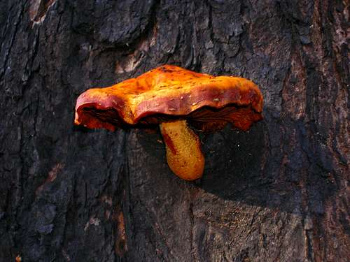 Vermont shroom!
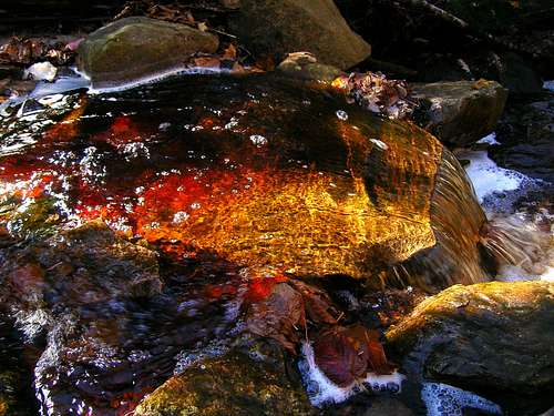 Colorful stream enriched by the sun
 Bourn Pond
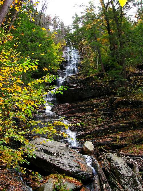 Lye Brook Falls