Stats
Distance: 25 miles
Elevation Gain: 10100’
Junction Peak
I camped at the Shepherd Pass Trailhead Wednesday night. Thursday morning, I began hiking up the Shepherd Pass Trail. I first ran into the party of two I spoke with during my climb of
Trojan Peak. I passed many others. Some inquired about my daypack.
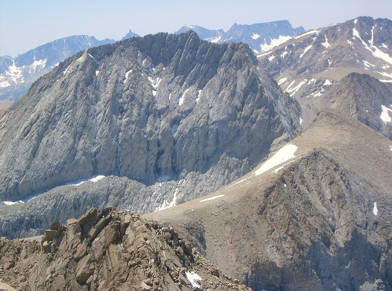 Junction Peak from Mount Keith July 7, 2008
At the creek crossing at Anvil Camp, I stopped to filter water into my bladder. One solo backpacker at Anvil Camp offered me some chocolate covered coffee beans. Near the Pothole, I saw two solo backpackers sleeping on the rocks adjacent to the trail. I thought it was quite strange for people to sleep in the middle of the day in such an exposed state. I finally reached Shepherd Pass.
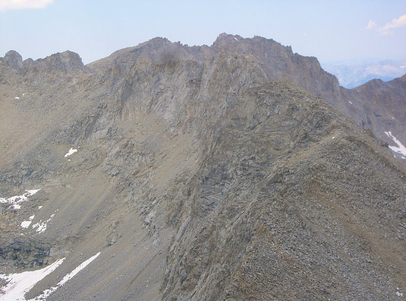 Gregory’s Monument & Mount Stanford, from left to right
I left the trail and continued cross-country towards Lake 3806 m. From the lake, I continued up a steep loose gully to the southeast ridge of Junction Peak. I was able to stay to the southeast side on more stable rock. I followed the ridge to the summit. The ridge was initially broad and loose, but then became narrow and solid.
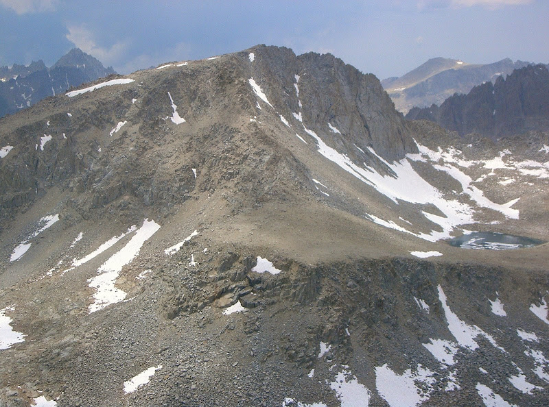 Caltech Peak
The exposure on the final section of the ridge was invigorating. I had good views of Mount Stanford, Mount Keith and Caltech Peak. I could also see people camped just south of Forester Pass on the PCT. From the summit, I descended the southeast ridge to the east couloir. From my climb of
Mount Keith, I saw that Junctions Peak’s east couloir had snow in it.
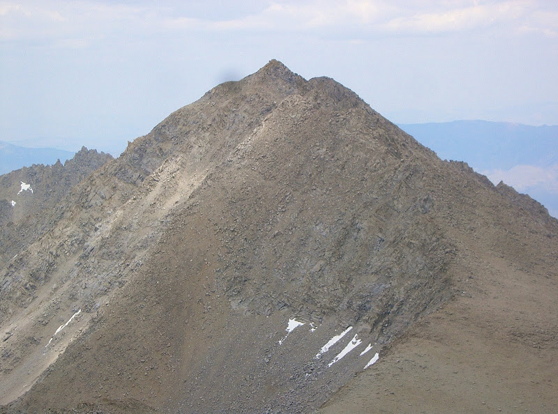 Mount Keith
I opted not to take an ice axe or crampons with me. I was able to kick steps to the north side of the couloir and downclimb gravel-covered slab. The rest of the couloir was sandy and loose, then became scree. I met up with the Old Junction Pass Trail. Following the trail was a chore. I finally made it back to the Shepherd Pass Trail below The Pothole. Descending the east couloir definitely reduced some distance and most likely saved some time. The rest of the hike back to the trailhead was uneventful.
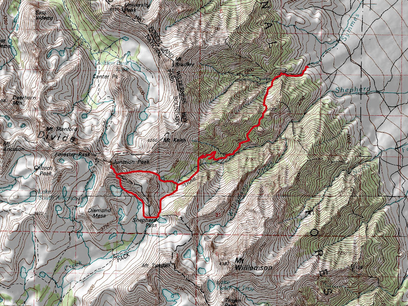 Map
Map


Comments
Post a Comment