Toggle navigation
Mountains
Routes
Images
Trip Reports
Forum
What's New
People
Areas & Ranges
Articles
Trailheads
Canyons
Huts & Campgrounds
Albums
Logistical Centers
Fact Sheets
Lists
Custom Objects
Gear
Plans & Partners
WELCOME TO SUMMITPOST
SIGN IN
REGISTER
Via FS 300Q
Additional Parents
Image
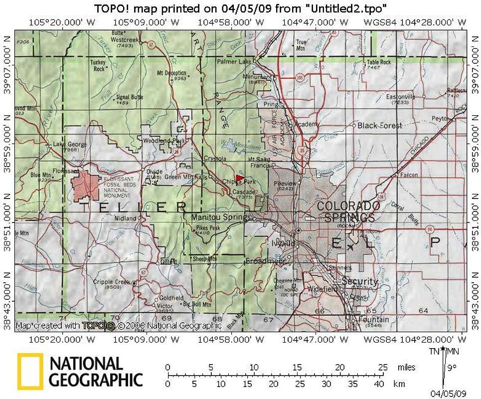
UN 9620 Regional Map
View High-Resolution Image
UN 9620 Regional Map
UN 9620 rises a half mile east-northeast of Rampart Range Road, about halfway between Colorado Springs and Woodland Park.
04 Apr 2009
« PREV
NEXT »
Sarah Simon
on
Apr 15, 2009 10:24 pm
Comments & voting
Other parents
Lat/Lon:
38.92100°N / 104.9467°W
Image Type(s):
Topo/Diagram
Image ID:
506331
1732 Hits
72.08
% Score
2
Votes
Log in to vote
Comments
No comments posted yet.
to post!
Don't have an account?
Via FS 300Q
(Route)
« PREV
Viewing
#10 of 14
GALLERY
NEXT »
Sarah Simon's Image Gallery
« PREV
Viewing
#3224 of 5480
GALLERY
NEXT »
UN 9620
(Mountain/Rock)
Loading....
×
You need to login in order to vote!
User Name
Password
Remember me
Forgot your password?
Log me out when I close my browser.
Keep me logged in all the time.
sign in as a user
Don't have an account?
Register now for FREE
Rating available
Suggested routes for you
People who climb the same things as you
Comments Available
Create Albums
Register Here


