Curt
Offline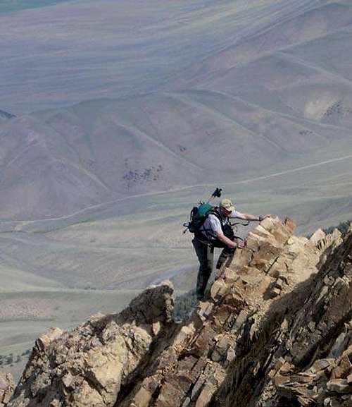
My Images
Climber's Logs I've Signed (14)
Mountains & Rocks (9)
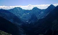
- South Teton Teton Range
- Middle Teton Teton Range
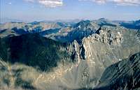
- Pfeifferhorn Wasatch Alpine Ridge
- Naomi Peak Utah County Highpoints
- Broads Fork Twin Peaks Wasatch Cottonwood Ridge
- White Baldy Wasatch Alpine Ridge
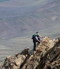
- Borah Peak Idaho County Highpoints
- Mount Corruption Lost River Range
- Kings Peak Kings-Emmons Ridge
Routes (3)
- West Slabs Route Mount Olympus
- Robinson Variation Broads Fork Twin Peaks
- Southwest (Chicken-Out) Ridge Borah Peak
Canyons (2)
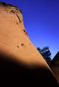
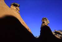
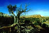
- Coyote Gulch, (Escalante) Grand Staircase-Escalante National Monument
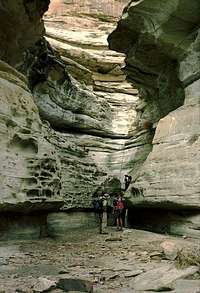
- Virgin River Narrows Zion National Park
My Lists
Content loading here...
Messages I Posted/ Editable Objects
Reviews I Posted/Reviews Posted to my Gear
Objects Others Have Attached to My Objects
Content loading here...
Photos Others Have Attached to My Objects
Content loading here...