Toggle navigation
Mountains
Routes
Images
Trip Reports
Forum
What's New
People
Areas & Ranges
Articles
Trailheads
Canyons
Huts & Campgrounds
Albums
Logistical Centers
Fact Sheets
Lists
Custom Objects
Gear
Plans & Partners
WELCOME TO SUMMITPOST
SIGN IN
REGISTER
Brooks Range
Additional Parents
Image
Utukok Uplands
View High-Resolution Image
Utukok Uplands
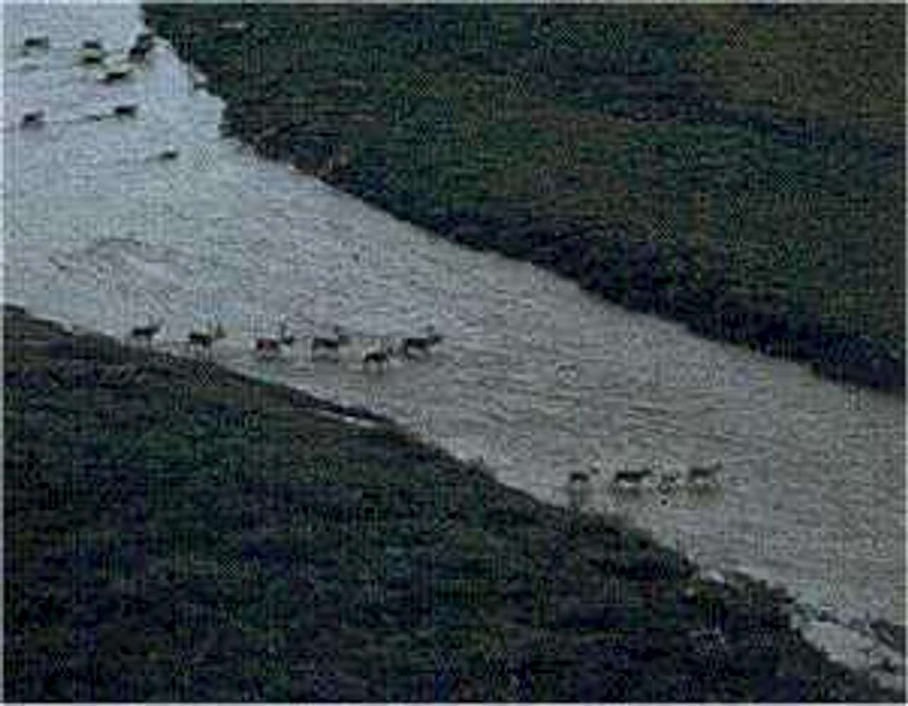
Caribou crossing Kokolik River, Utukok Hills, heading South through coal fields of National Petroleum Preserve-A.
« PREV
NEXT »
MtnGuide
on
Aug 2, 2006 6:14 am
Comments & voting
Other parents
Lat/Lon:
68.68852°N / 159.60938°W
Image ID:
212373
1893 Hits
71.06
% Score
1
Votes
Log in to vote
Comments
No comments posted yet.
to post!
Don't have an account?
Brooks Range
(Area/Range)
« PREV
Viewing
#76 of 98
GALLERY
NEXT »
MtnGuide's Image Gallery
« PREV
Viewing
#49 of 127
GALLERY
NEXT »
×
You need to login in order to vote!
User Name
Password
Remember me
Forgot your password?
Log me out when I close my browser.
Keep me logged in all the time.
sign in as a user
Don't have an account?
Register now for FREE
Rating available
Suggested routes for you
People who climb the same things as you
Comments Available
Create Albums
Register Here


