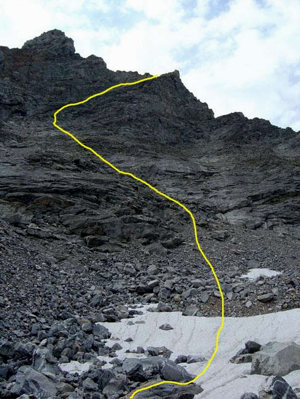
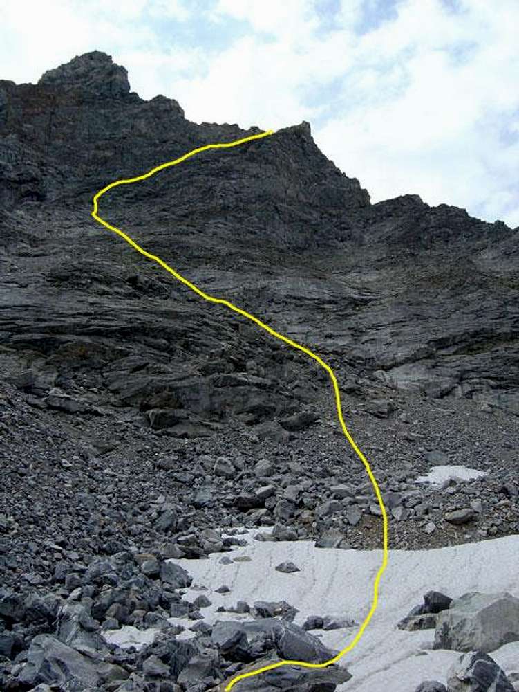
The yellow line depicts my...
The yellow line depicts my route up the northwest face to achieve Mount Wister's West Ridge (August 8, 2005). I chose to go up the face because I was concerned about the steep section just below where I actually gained the ridge. This route was easy class two at the bottom and had some class three sections near the top.


