
Viewing: 1-3 of 3

hgrapid - Sep 4, 2006 10:49 pm - Voted 10/10
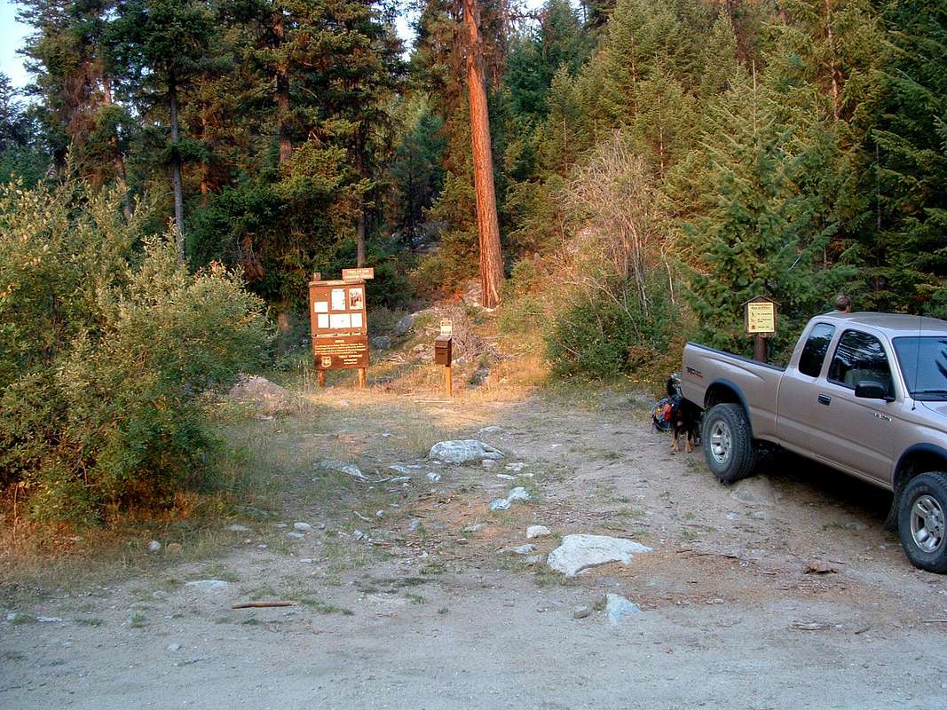
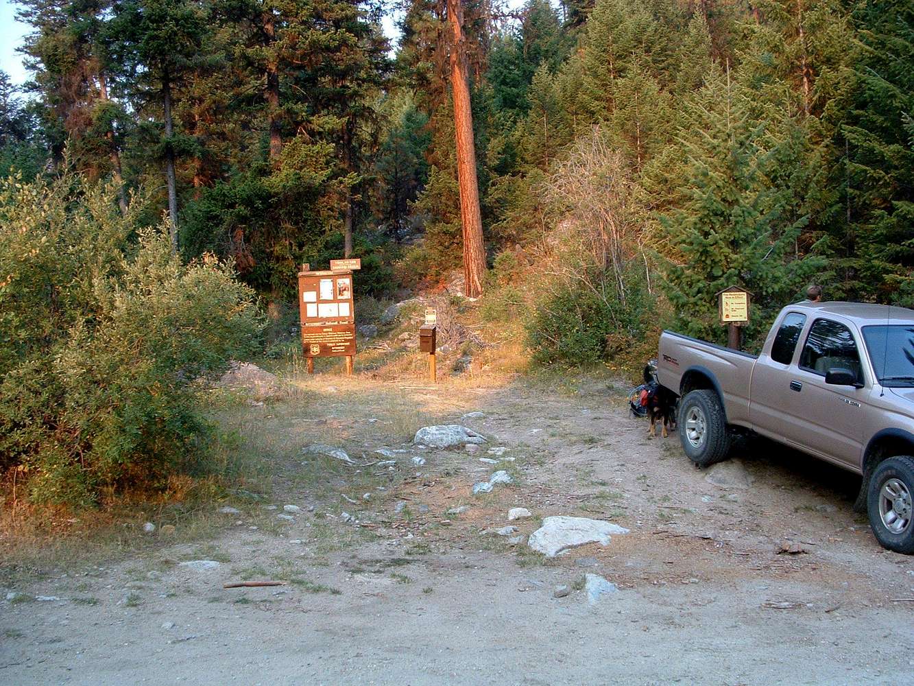
Elevation here?What is the elevation here?

Michael Hoyt - Sep 5, 2006 1:20 am - Hasn't voted
TH Elevation4798'
See the Page for Chaffin Creek Trailhead
hgrapid - Sep 5, 2006 2:35 am - Voted 10/10
So...Why not put that in the photo caption???
Viewing: 1-3 of 3


Comments
Post a Comment