

Viewing: 1-2 of 2

rpc - Dec 11, 2007 2:25 pm - Voted 10/10
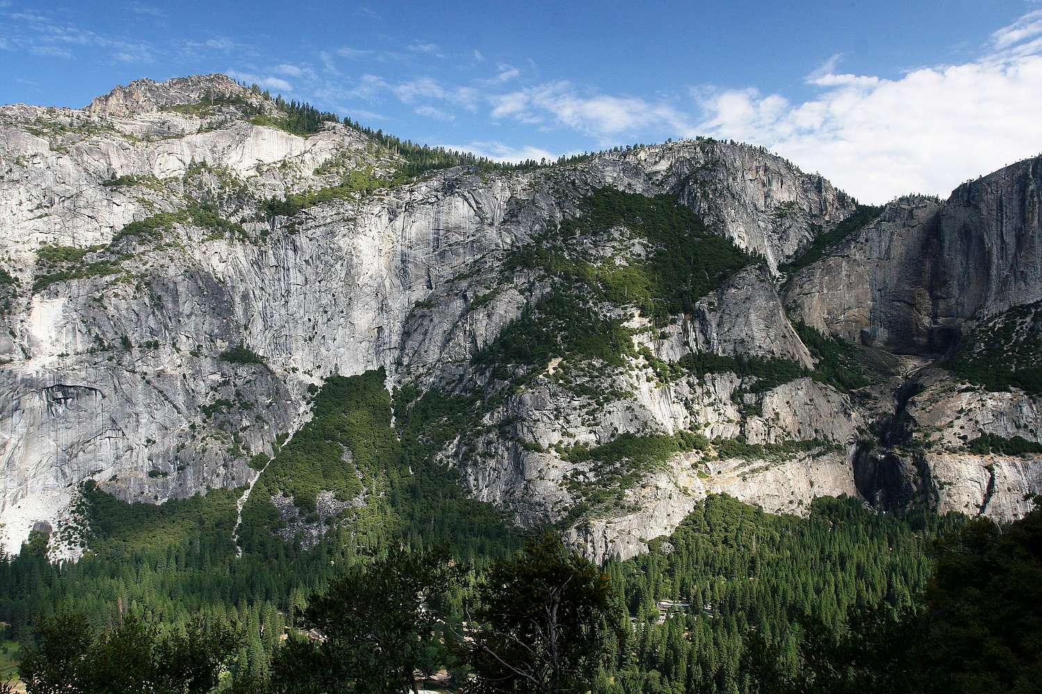
you also gotthe Lost Arrow Spire in there on the extreme right.

Mark Doiron - Dec 11, 2007 8:17 pm - Hasn't voted
Re: you also gotThanks, Rpc! I've edited the caption. --mark d.
Viewing: 1-2 of 2


Comments
Post a Comment