Viewing: 1-1 of 1

outdoors4sure37 - Jan 14, 2006 11:51 pm - Hasn't voted
Great LoopTruly a classic white mountain hike. Hell of a loop for all seasons.
Viewing: 1-1 of 1
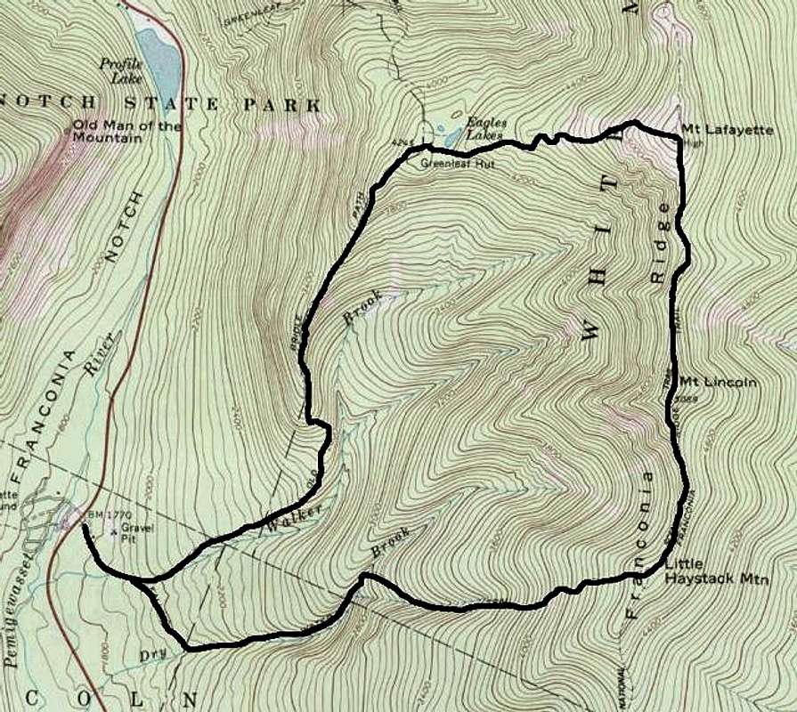

Truly a classic white mountain hike. Hell of a loop for all seasons.


Comments
Post a Comment