The page was successfully edited.

-
 5619 Hits
-
 74.92% Score
-
 5 Votes
|
|
Route |
|---|---|
|
|
49.82860°N / 126.3103°W |
|
|
Mountaineering |
|
|
Spring, Summer, Fall |
|
|
A long day |
|
|
Class 4 |
|
|
Approach
Refer to the main page for details on getting to Vancouver Island and to the general vicinity of the mountain ie the town of Gold River.Immediately past the bridge 23 km from Gold River turn right onto logging spur H60. Engage 4WD here. Drive approximately 1 km up this road to a fork labeled H60D. The right hand fork is the way that Conuma was approached for many years since Watts and Gibson first used it in 1989. Regretfully H60D is thoroughly decommissioned. The bridge has been removed only a few metres east of the fork described above. Elevation at this point is ~ 250 metres.
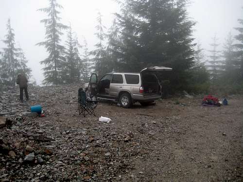 Park/Camp here |
Route Description
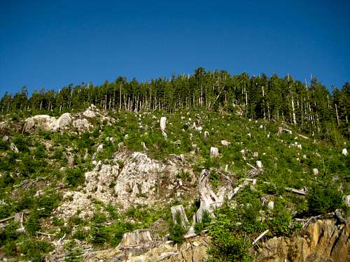
Head southwest off the end of the old logging road and climb the slash for about 200 vertical metres to gain the old growth. You are aiming to make an end run to the south of the big, forest choked gully that splits the east face at this point. To this end, once in the old growth, continue southwest until it’s possible to make a turn north around the top of the gully. It should be emphasized that you will do this without much in the way of visual acuity; you are by now in dense west coast huckleberry bush and navigating by touch, sense of smell, intuition and, if you’re sensible, GPS.Once around the gully, make a descending traverse to a flat area with some seasonal tarns. Here there is some temporary relief from the bush and even some animal trails to follow.
Continue north off the flat area, up another very bushy 200 vertical metres and finally onto the flat, open part of the south ridge with the summit tower now in full view. Views of Nootka Sound to the west now open up.
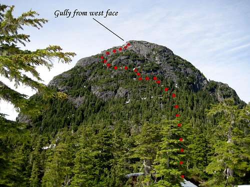
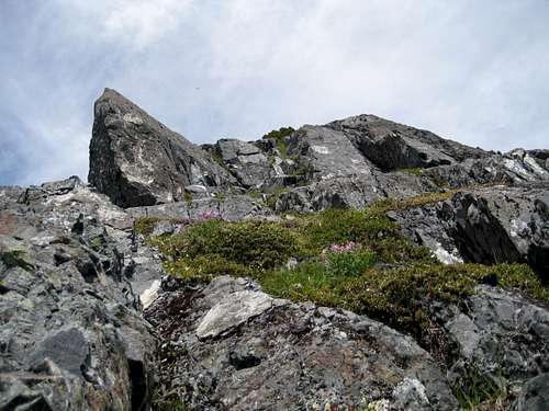
The summit tower looks very imposing from the upper south ridge and does, in fact, require patience and careful thought to overcome.
 Start here. Up the logging slash | 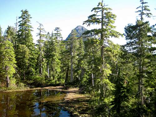 Lower S Ridge | 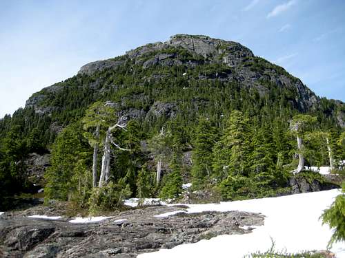 Summit Block | 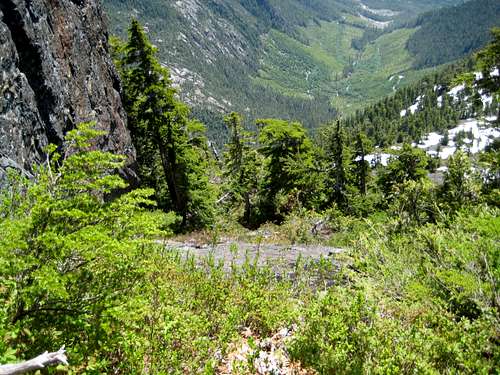 South Face Looking Down |
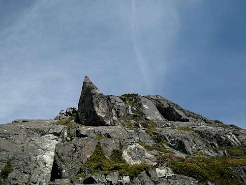
If you follow a generally westward line, you will eventually arrive at a big gully to your west (above the arch in fact) with the summit in view above and immediately underneath a characteristic shark-fin shaped rock on the ridgeline. Proceed up a flower filled groove and make a final easy scramble to the summit.
There is a summit register to sign and 360° views to admire; from Victoria Peak in the north, to the big peaks of Strathcona Park to the southeast to Nootka Sound and the open Pacific in the west – and much, much more.
Summit route
Descend by reversing the above.
A MapSource GPS tracklog is available to any reader wanting to do this route. Simply email or send me a PM.
A word on SP ethics
Final pitch and summit
SP ethics decree – and I completely concur – that a page author should have summited what he or she is writing about. In considering this, I thought it a shame that readers should be denied a description of a unique, beautiful and historical mountain for the sake of 2 moves and 30 vertical metres. I don’t think too many more SP members will be rushing to climb the last bit just to claim authorship rights.
High point.
Essential Gear
At least one rappel will be necessary on the descent. Carry a 50 or 60 metre rope and slings etc to enable this.Some parties report having to use the rope in one or two places climbing the summit block. Others manage without. Certainly a small rack should be carried - mostly large pieces and slings.
Ice axe and crampons need only be taken in winter or very early season.