
|
|
Route |
|---|---|
|
|
39.14391°N / 106.58249°W |
|
|
Hiking |
|
|
Summer |
|
|
Half a day |
|
|
2, occasional 2+ |
|
|
Overview
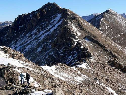
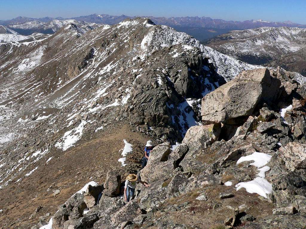
On the Geissler Mtn ridge, looking towards W and E peaks
The Geissler Mountain ridge runs NE/SW and boasts three distinct peaks, Geissler SW, W, and E. W & E are ranked 13-ers, and SW is also over 13,000'. This route combines all three in a single tour de Geissler. Because it's a sustained ridge walk, the views are spectacular throughout, and it is an ideal Aspen-area acclimatization hike. It also provides a gentle introduction to the joys of off-trail hiking and scrambling. The terrain on the southern side of the ridge is fairly forgiving so the route does not involve any real exposure (though there are some serious drop-offs to the north), and the route can be aborted safely at number of points, in particular the saddles between the peaks. The route is largely 2, but there are a few segments of 2+. The ridge is heavily corniced meaning that snow is a major feature of early summer hikes. For Aspen area hikers who are contemplating the popular Lost Man Loop but who want a bit more of a challenge and massively superior views (and don't want to deal with the headache of arranging/finding/hoping for transport between the upper and lower trail heads), this is a great alternative.
 On the Geissler Mtn ridge between SW and W Summits. Note Linkins Lake behind
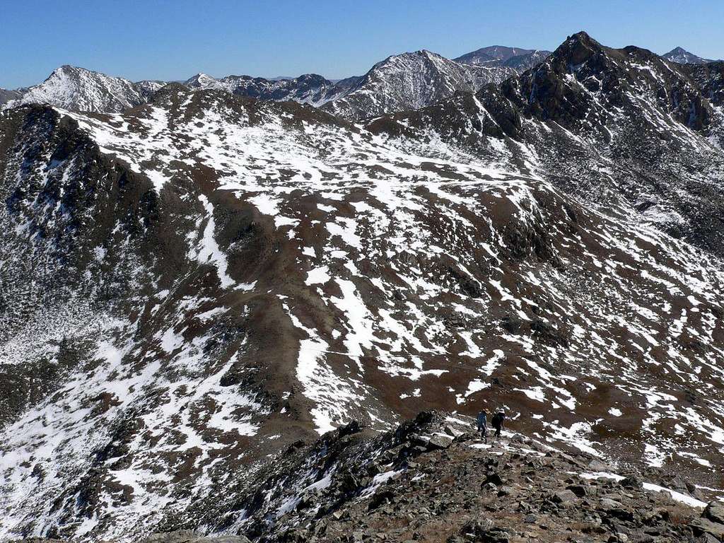
 On the Geissler Mtn ridge ascending Geissler E, looking back towards W and SW peaks
Getting There
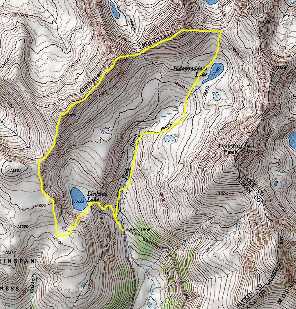
Trailhead. The Upper Lost Man Trailhead (11,520') on Rt 82 on the Aspen side of Independence Pass (see the main Geissler Mtn page).
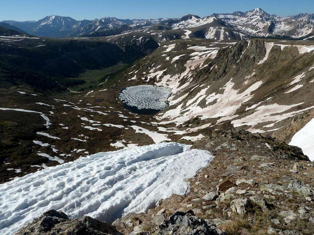
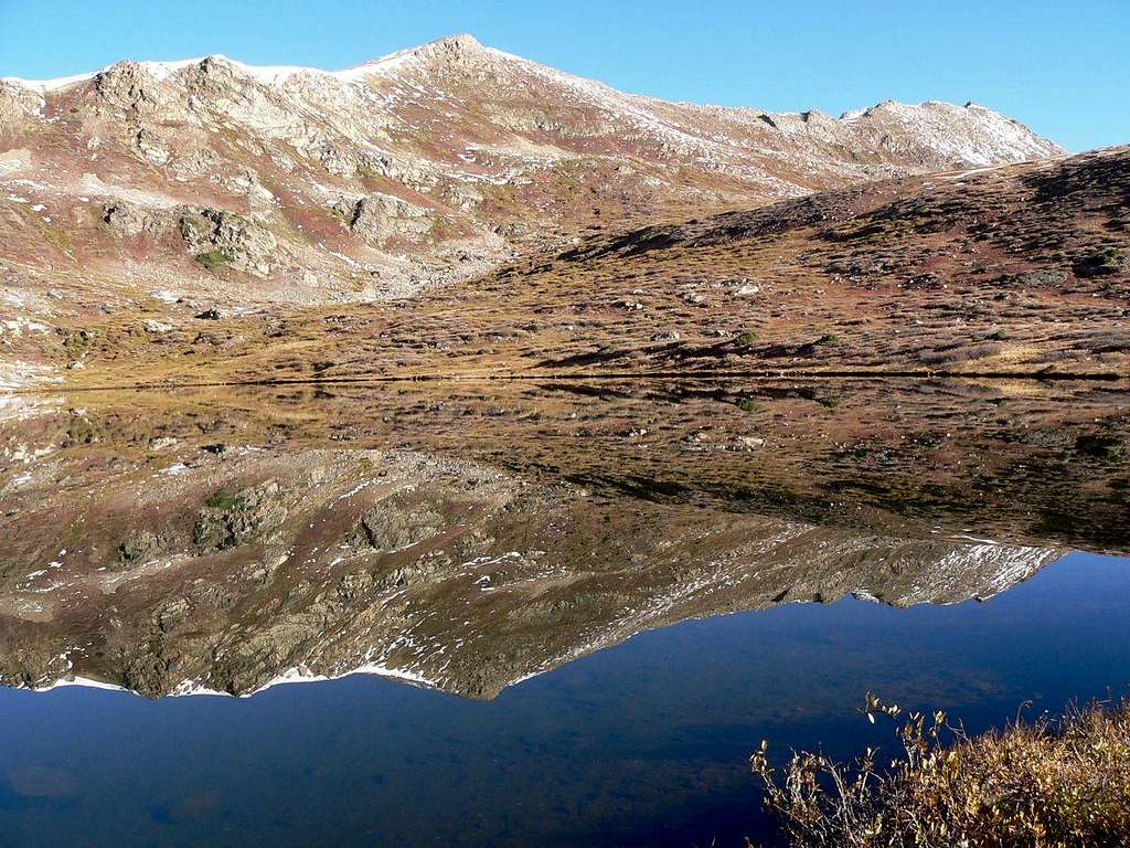 Linkins Lake with Geissler Mtn Summits SW and W reflected
Route Description
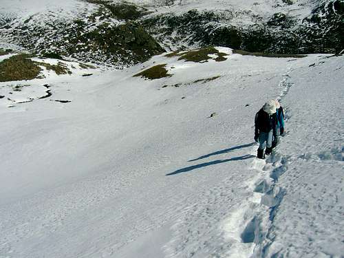
Climbing above Linkins Lake
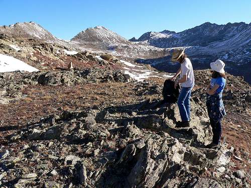
Plateau above Linkins Lake: W and E Geissler Summits in view
Head up the Lost Man Loop trail, and, when the trail divides, follow signs left for Linkins Lake (12008'). Walk around the southern end of the lake (the outflow creek crossing can be a headache early in the season), and ascend the steep slopes at the SW end of the lake. In high summer, there is a zig-zag use trail up this slope, but, for much of the early season, it is under snow, and, if you're not comfortable on (or equipped for) steep snow, a better route on rock may be found to the left. A miner's cabin and mine mark the top (12,400').
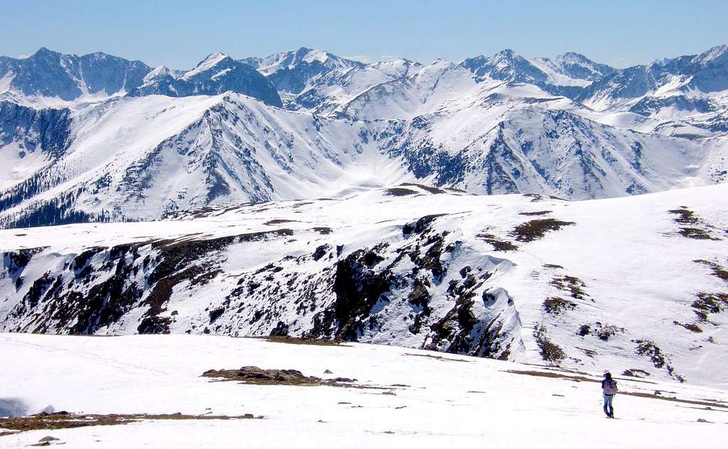
You are now on the edge of a remarkable high, rolling plateau boasting wonderful views throughout the Sawatch and W to the Elks. Grizzly Pk, Colorado's highest non-14-er, dominates the panorama to the south.
 Looking back along the route (note Rte 82 & Linkins Lake) from the ridge ascending Geissler Mtn SW Summit. La Plata (left) and Grizzly (r) dominate the skyline
 Looking south from the ridge approaching Geissler Mtn Summit SW
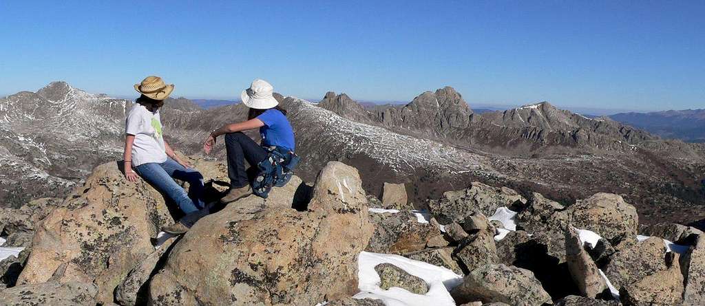 The view from Geissler Mtn SW Summit: Williams Mtns
On the ridge between Geissler Mtn Summits SW and W
On the summit of Geissler Mtn W Summit
Follow the edge of the plateau NNW around above Linkins Lake. The hike has now started in earnest: soon you will be following the ridge to Geissler SW (13,186'), with its spectacular views NW into the impressive Williams Mountains. Follow the ridge to Geissler W (13301'), where there is a summit register which, given Geissler's proximity to Aspen and to Rt 82, sees surprisingly little action. From the summit descend steeply to the saddle between Geisslers W and E (12800'); a short awkward 2+ pitch connects the summit to the descending ridge. The saddle is a good point to cut short the route if lungs/legs and/or weather mandate doing so. If quitting the ridge, head SE from the saddle into the Independence Lake valley to pick up the Lost Man Loop trail.
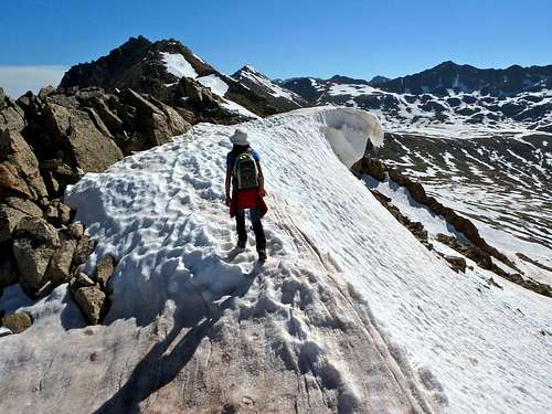
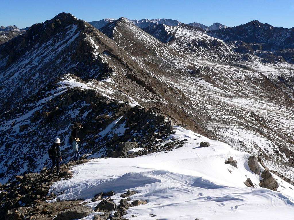
 Ascending the ridge to the Geissler Mtn E Summit
The ridge up to Geissler E (13380') contains a couple of segments of 2+ but careful route-finding should minimize the amount of scrambling required. I believe there's a summit register on this top, but I've never been able to find it in some ten visits (typically I am there in snow). Check out the view at your feet of Lost Man Lake and look East to the mighty mounds of Massive and Elbert.
The final part of the traverse is the East Ridge route in reverse: down to the saddle above Lost Man and Independent Lakes where you can pick up the Lost Man Loop trail and descend down the valley to the trail head. The net altitude gain for the route is about 2,600'. Total distance is about 6 miles.
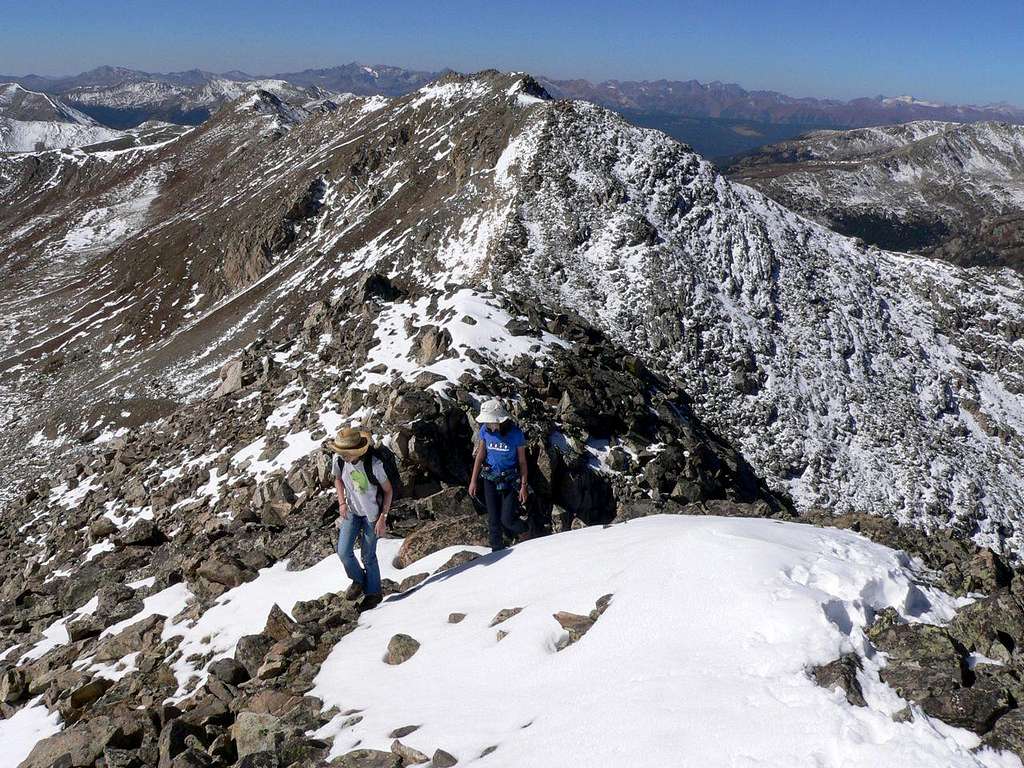
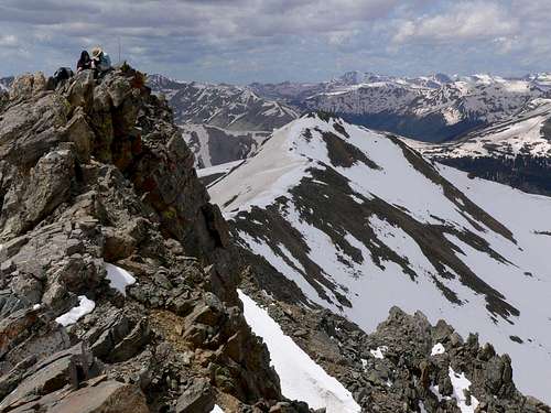
 Descending the ridge to the Geissler Mtn E Summit. Elbert & Casco on the skyline
A more interesting alternative (which I've not done) to descending via the Lost Man Loop trail is to continue E across the saddle and up the other side to to Point 13366 on the Continental Divide. From there you would follow Kane's route S over Point 13545 and on to Twining Pk, from which you could either descend directly to the trail head or continue along the Divide to Independence Pass. This, however, is a serious undertaking requiring exposed Class 4 climbing on the ridge.
 Descending the Lost Man Loop trail. Twining Pk to the left
Gear etc
- Weather considerations are especially pertinent on ridges, especially if there is little prospect of bailing as a storm moves in. In this case, there are plenty of opportunities to get off the ridge to the south, but, as always in Colorado, electrical storms should be treated with the respect they deserve.
- Yes, you need to carry all your water with you...
- Because of the snow and glissade opportunities on the route, I always carry an axe and usually wear gaiters on this route.
 Between Geissler Mtn SW Summit and W Summit
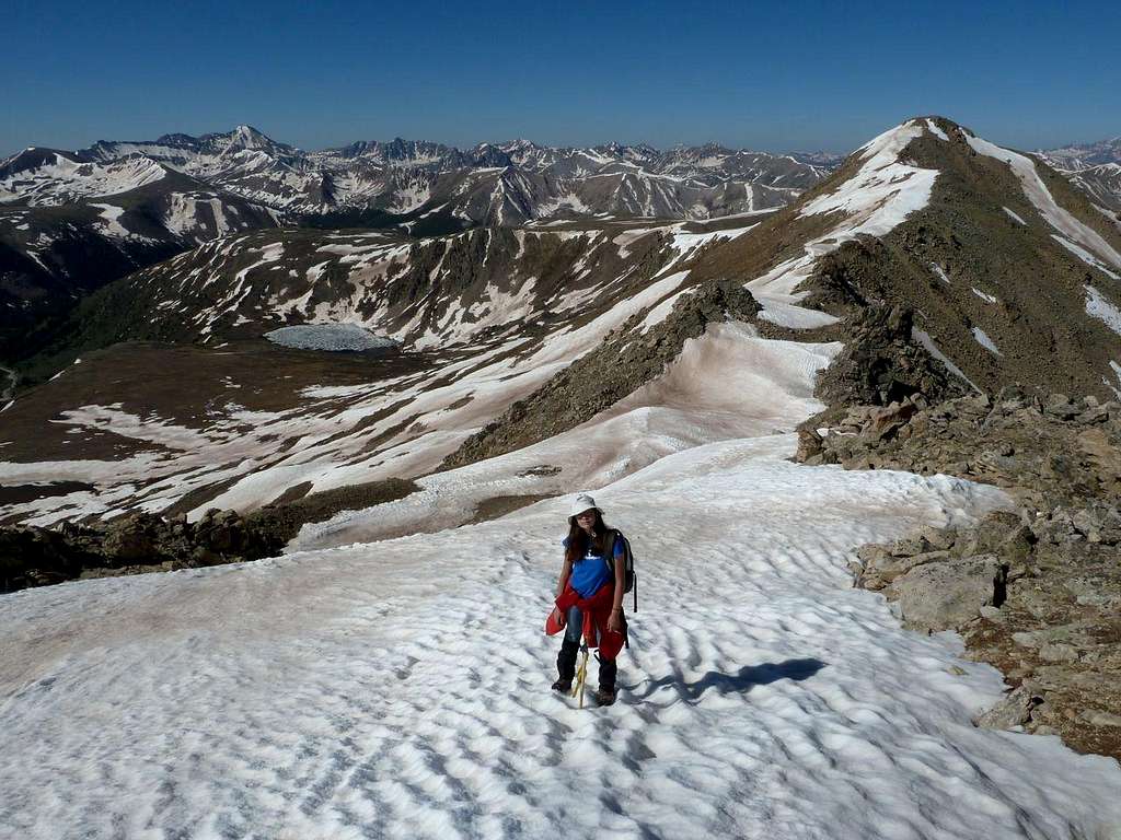
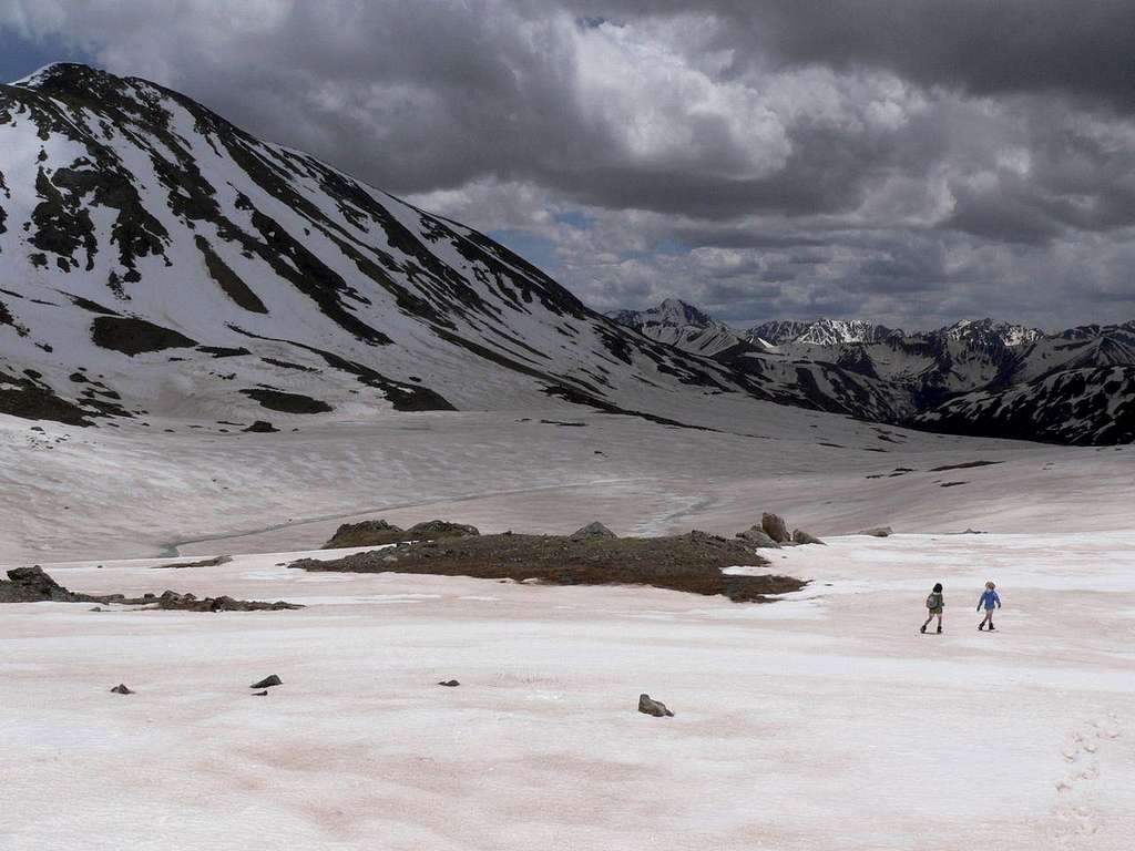
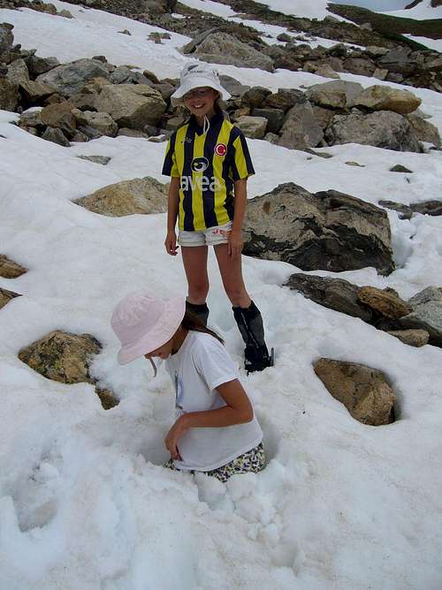 As the day progresses, so the snow gets softer...