Our Plan Northwest Traverse Wonderland of Rocks
I've always heard about the great hiking in Joshua Tree, so I decided to challenge myself by exploring the Wonderland of Rocks. Being no spring chicken, I decided to find a local who was familiar with this area. In my search, I found a local guide named Matt who was familiar with the area. He is also a member of the Riverside SAR. I had thought about this trip since November of 2012. With local hiking and exploring the San Jacinto area, I figured I was ready to tackle this trip. Our plan was to start at the Pine City backcountry board, head north from there, then take a northwest route toward Rattlesnake Canyon and out. We would pass Queen Mountain which would be on our left.
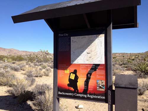
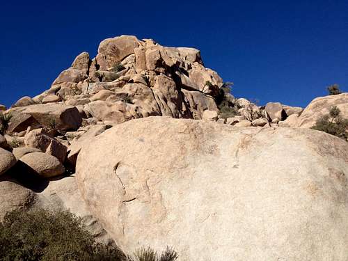
![Pine City BC board Joshua Tree]() Our starting point.
Our starting point.
Our adventure begins. We started out north, then cut left to more of a northwest bearing. Following the map, Matt was doing the route finding.
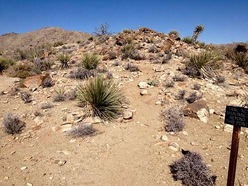
![On the trail]() We made a left jog at this sign.
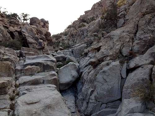
We made a left jog at this sign.Boy this cross country, bushwhacking, boulder hopping, and jumping down to small platforms was taxing. I needed every
climbing skill I had to get through this maze. One fall and it would be all over. No one would ever find you except for the local
creatures. To add to the misery were the desert plants. A few bouts with Cat Claw, my arms were like being locked in a
closet with a dozen feral cats... Ouch!! I was bleeding like a stuffed pig.
http://www.livingdesert.org/desert_plants_page.html?name=cat+claw+acacia
To make matters worse, my feet and legs were shredded by desert Nolina,hedgehog cactus and prickly pair cactus. It
seemed like every rock I had to slide down, prickly pair cactus was there. !! Whew !!
http://www.desertmuseum.org/books/nhsd_nolinaceae.php
https://www.google.com/search?q=desert+hedgehog+cactus&client=ubuntu&hs=GE9&channel=fs&tbm=isch&tbo=u&source=univ&sa=X&ei=LxOJUt-SHIG2iwL6xYDQAg&ved=0CC8QsAQ
https://www.google.com/search?q=desert+prickly+pear+cactus&client=ubuntu&hs=iF9&channel=fs&tbm=isch&tbo=u&source=univ&sa=X&ei=iROJUqGjBIH7igKWpoDIAw&ved=0CFAQsAQ&biw=1220&bih=934
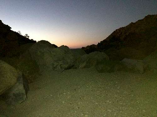
After about 6 hours and 9 miles it was starting to get dark. We found a wash to camp in. Wow!! I was toast! We set up camp in the dark.
Then we had tortellini with roasted tomato sauce. It tasted so good. For dessert, a hand full of M&M's. Yummy.
Full moon to light up the area. Later after 2am, the stars looked like you could reach out and touch them. Awesome !!
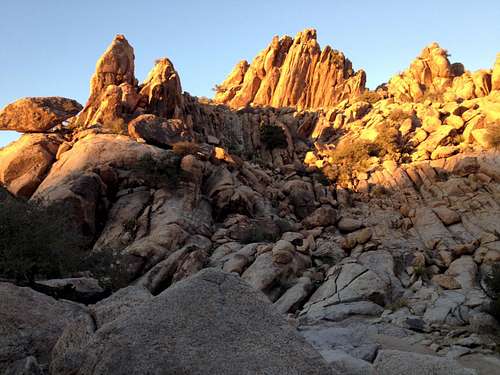
Got up about 7am and had some hot chocolate with pop-tarts for breakfast. We were packed up and ready to hit the
trail about 8:15. Some pics along the way into camp. Many thanks to Matt for the route finding.
This will be a trip that will last a lifetime.
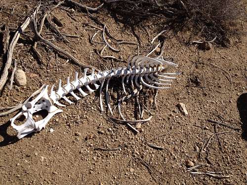
![Along the trail.]() Big Horn Sheep bones??
Big Horn Sheep bones??![Along the route.]() Looking back the way we came.
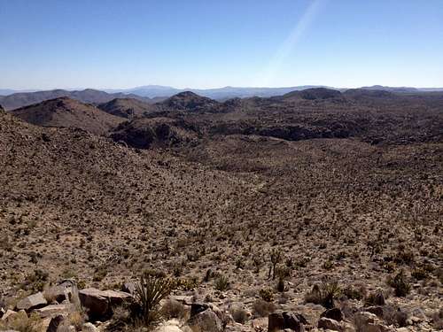
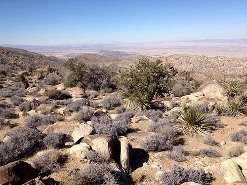
Looking back the way we came.![Along the route.]() Looking North West.
Looking North West.![Along the route.]() Scenery
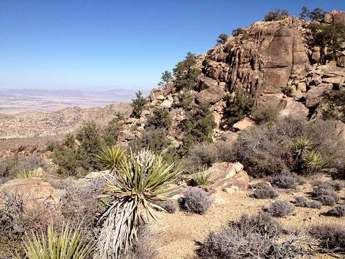
Scenery![Along the route.]() Heading for the saddle.
Heading for the saddle.![Along the route.]() Scenery
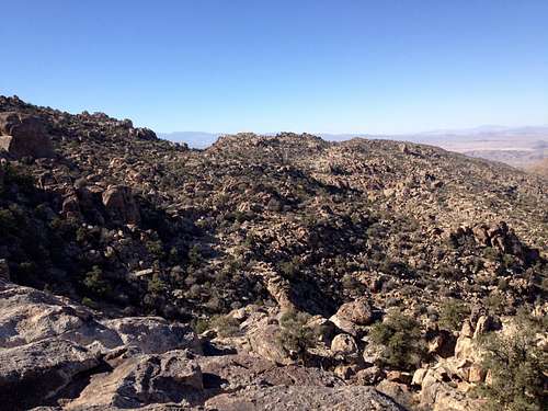
Scenery![Along the route.]() Looking back at the wash we came down. Tough!!
Looking back at the wash we came down. Tough!!![Along the route.]() Our camp site for the night.
Our camp site for the night.The next morning 4 more miles to Rattlesnake canyon
Our last leg, I will be glad to make it to Indian Cove Campground. I will never forget the blood I left on this adventure. In my opinion this route was the most extreme I've ever done.
![Along the route]() More rocks, it doesn't get any easier on the way out.
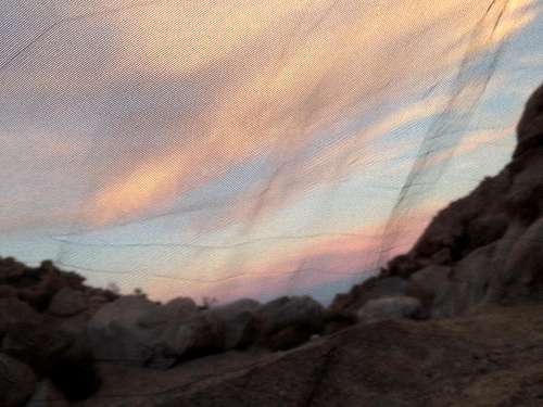
More rocks, it doesn't get any easier on the way out.![Camp]() Wake up call.
Wake up call.
![Along the route]() More obstacles
More obstacles![Along the route.]() Rocks
Rocks
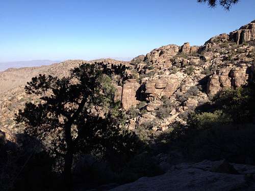
![Along the trail.]() Scenery
Scenery
Picture from camp to the way out Rattlesnake canyon.
![Map]() Route to Rattlesnake Canyon and out.
Route to Rattlesnake Canyon and out.
Comments
No comments posted yet.