
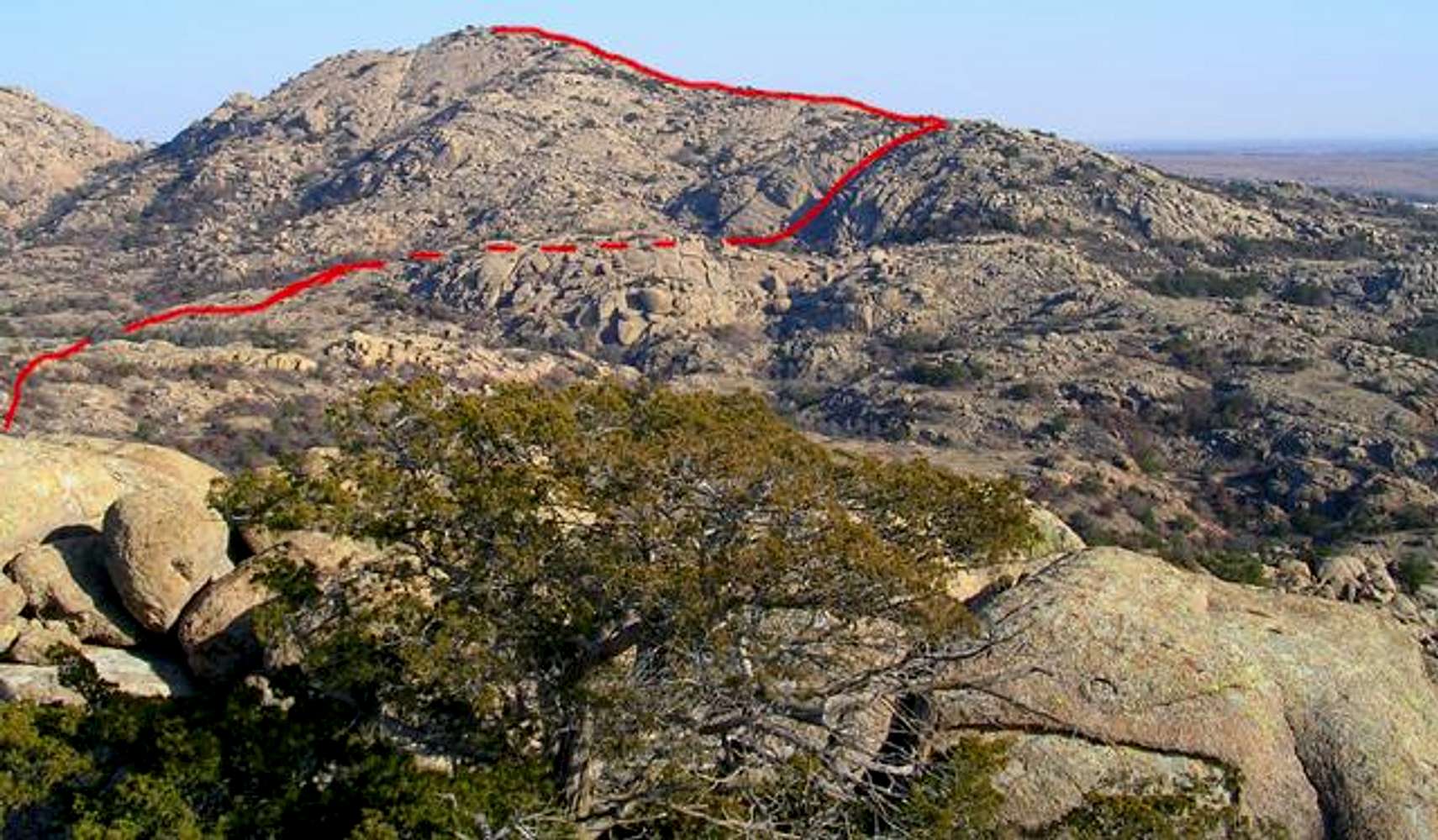
Approximate descent route...
Approximate descent route from Granite Peak. Dashed line is where the route cannot be seen behind the ridge. Once it gets into the valley I'm not as sure of the route, but I'm pretty sure about the canyon crossing, which is going to begin at a subcanyon that feeds into the Styx.
January 17, 2005


