Arrived in Aymavilles Commune
(646m), you have to keep going to the West reaching the adjacent Municipality of Villeneuve (
656/65m; current
Church of Santa Assunta of 1782), while the ancient
Parish with Romanesque bell tower is of 1400. But most of the
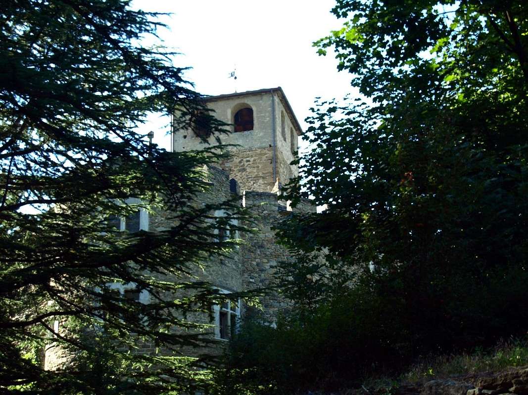
Châtel Argent above the XI° Century with its
walled in ruins but with the
cylindrical Tower still present. It constructed of materials that came from the Roman road to Petit Saint Bernard. Owned by the Lords of Bard, then those of St. Pierre and the 1605 Lord Leonardo Roncas Aosta, he was dismantled in the eighteenth Century to rebuild homes after a violent storm. From the square of the Church apart from the Regional Road to the municipality of Introd, reached just after the bridge is
70 metres above a frightful ravine (
872m; magnificent
Château d'Introd of 1260 with internally Square tower and Roman Barn; Church of 1500 and Bell Tower 1600). The castle was built by Peter Introd Bard and restored in the twentieth Century. But before we get to Introd and after the Hamlet of Junod in that of Villes are in the feature Dessous (
806m; Chapel of St. James of 1867 with three mini Bell Towers topped by many Crosses) while proceeding as well as the Dessus (863 m; Church San Ilario). While over the common, left in the Southwest the detour to the Valley of Rhêmes, near the roadside to Buillet small Village (
1030 m; tiny Church of San Defendente). Continuing on the road to Valsavarenche you reach the Villages Chevrère (
1108m; little Church), Molere (
1108m; little Church) to above winding road
1132 metres Fenille (
1304m; Chapel); then continuing to the East of Dora Savara and exceeded the Hamlets of la Ramou and Bois de Clin reach that of Rovenaud (
1462m; little Church). Soon we arrive at the
Chief-town of Dégioz-Valsavarenche (
1525/47m; Parish Church and near Campanile with Meridiana 1802; Centre for the visit P.N.G.P.), located at the foot of the
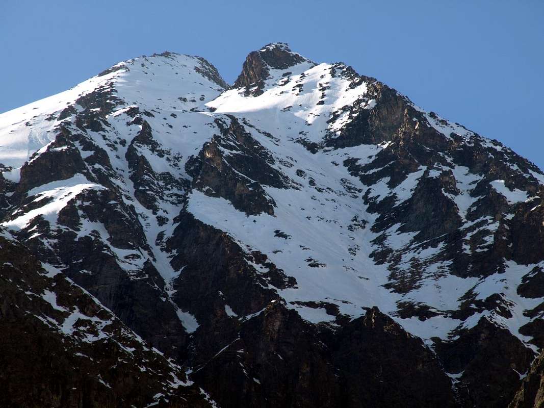
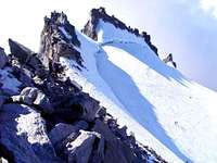
"arduous beautiful Grivola" (3969m) by the Poet Giosué Carducci. From here on, the Religion gradually gives way to the
"Civilization" but there is still something: the detour to the South of Dégioz to Toulaplana and Creton Villages (
1613m; little Church), Bien (
1629m; small Church), little more than
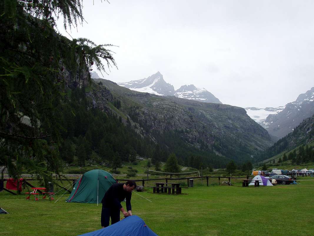
"Camping Grivola" and before the
"Agriturismo Lo Mayen" and finally, after the
"Camping Gran Paradiso" and the departure of the route
n° 5/5A/10A the
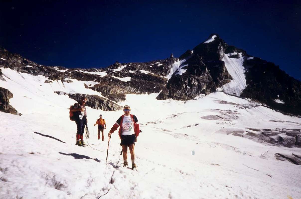
Refuge Federico and Renato Chabod (2710m). Finally in
Pont of Valsavarenche-Breuil (
1952/69m; little Church) with great parking and the trail
n° 1 to the two adjacent
Vittorio Emanuele II° Refuges (2734m). But if you want to achieve the ultimate signal of
Christianity there remains that go up and then climb to the
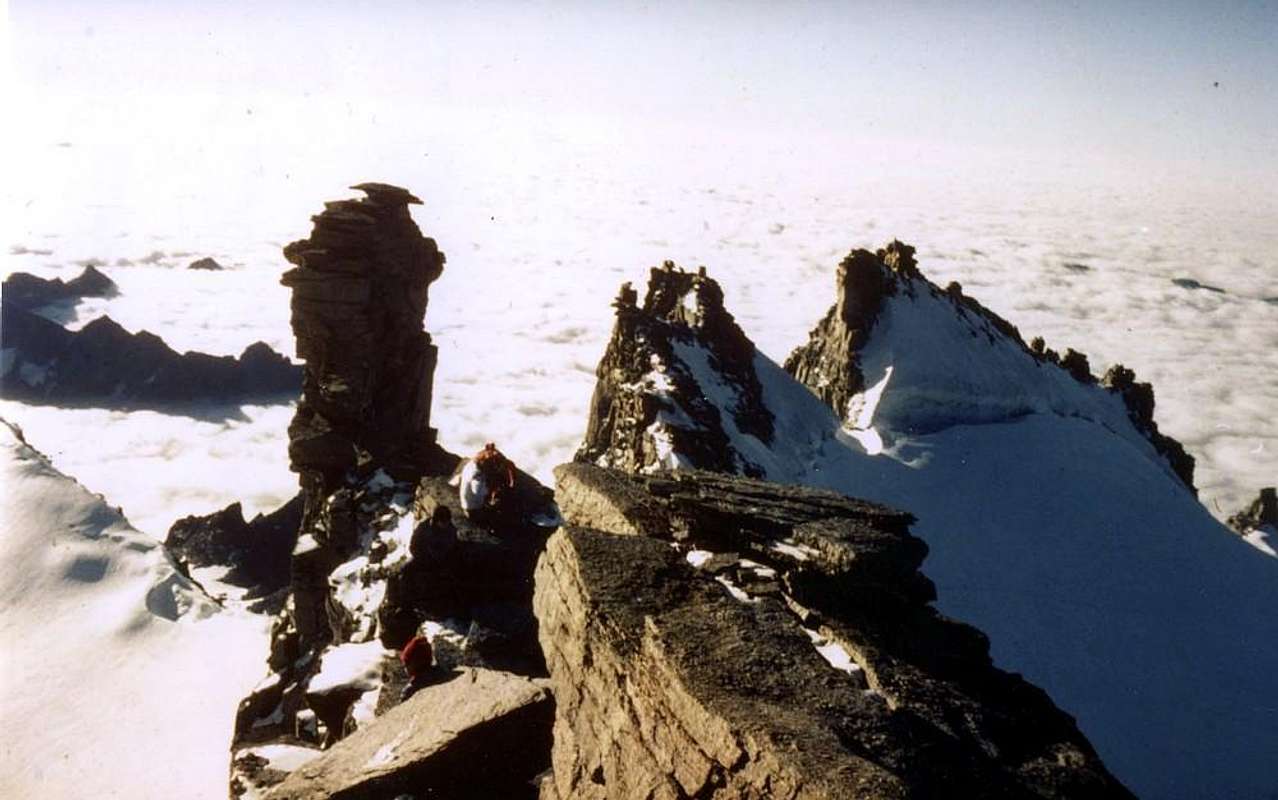
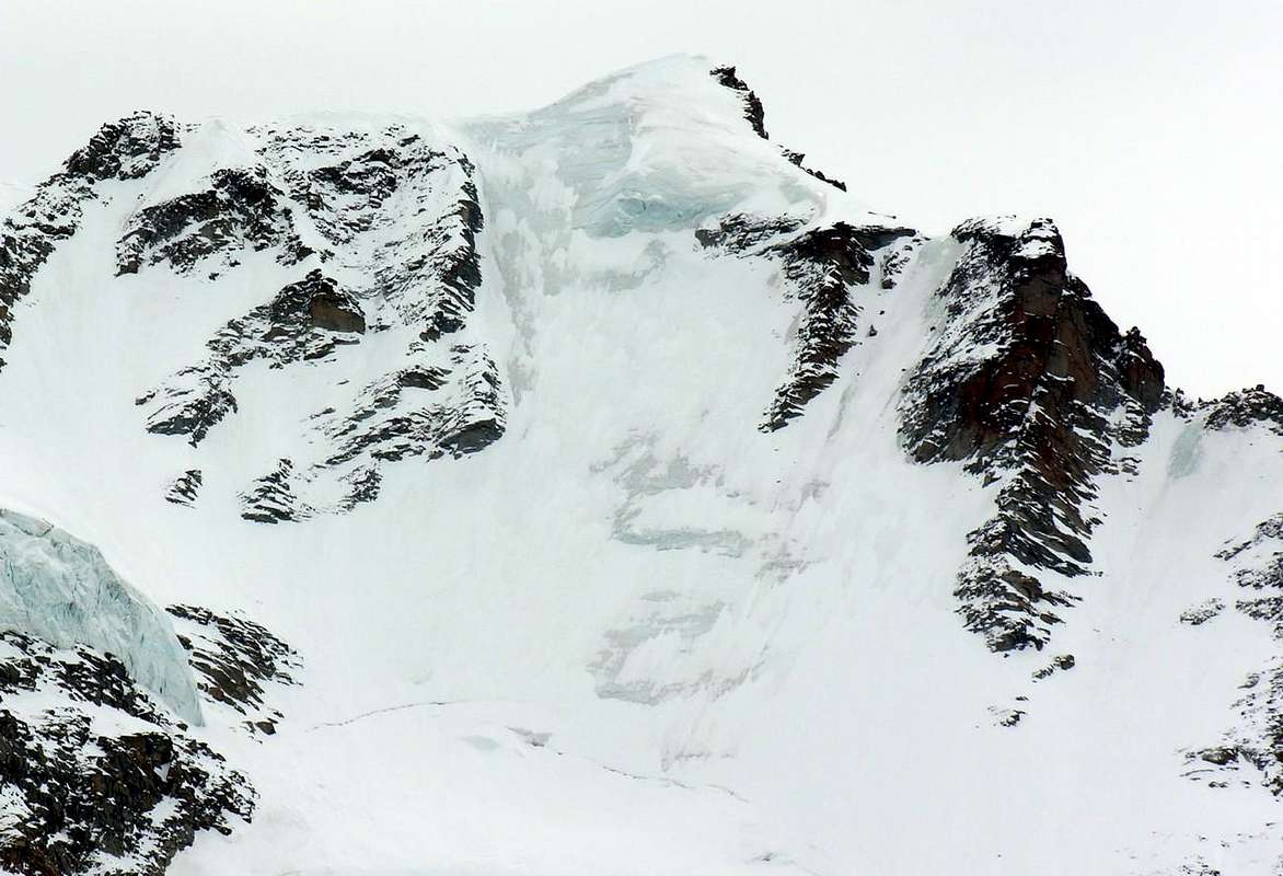
Gran Paradiso or "Granpa" (4061m) on the Summit where you will find the
"Madonnina" highest of all Graian Alps, Chain of Mont Blanc excluded.
Visitando la Valsavarenche ai piedi della Bioula, Grivola e del Gran Paradiso
Villeneuve-Châtel Argent towards Dégioz and Pont Valsavarenche below Grivola & Gran Paradiso, passing through Introd
Arrivati ad Aymavilles, bisogna proseguire sempre ad Ovest raggiungendo l'adiacente Villeneuve (
656/65 m; attuale
Chiesa di Santa Assunta del 1782), mentre l'antica
Parrocchia con Campanile Romanico é del 1400. Ma soprattutto il soprastante
Châtel Argent del XI° Secolo con la sua
cinta di mura in rovina e la
Torre cilindrica ancora presente; costruito con materiali romani che provenivano dal disfacimento della strada
"Consiliare" del Piccolo San Bernardo. Di proprietà dei Signori di Bard, poi di quelli di St. Pierre e dal 1605 di Leonardo Roncas, venne smantellato nel XVIII° Secolo per ricostruire le case dopo un violentissimo uragano con grandi distruzioni. Dalla piazzetta della Chiesa parte la Strada Regionale per il Comune di Introd, che si raggiunge subito dopo il ponte alto
70 metri sopra uno spaventevole orrido nella Dora (
872 m; splendido
Château d'Introd del 1260 con internamente Torre quadrata e Granaio Romano; Chiesa del 1500 e Campanile del 1600). Il Castello venne costruito da parte di Pietro Introd di Bard e restaurato nel Secolo XX°. Ma prima di arrivare ad Introd e dopo la Frazione Junod in quella di Villes troviamo a Dessous la caratteristica (
806 m; Cappella di San Giacomo del 1867 con tre mini campanili sormontati da altrettante Croci) mentre procedendo oltre a Dessus la (
863 m; Chiesa di Sant'Ilario). Mentre oltre il comune, lasciata a Sudovest la deviazione per la Val di Rhêmes, sul ciglio della strada a Buillet (
1030 m; Chiesetta di San Defendente). Continuando sulla strada per Valsavarenche si raggiungono i Villaggi di Chevrère (
1108 m; Chiesetta), Molere (
1108 m; Chiesetta) al tornante
1132 m e Fenille (
1304 m; Chiesetta); poi continuando ad Oriente della Dora di Savara ed oltrepassati i Villaggi di la Ramou e Bois de Clin si raggiunge Rovenaud (
1462 m; Chiesetta). Ben presto si arriva al
Capoluogo di Dégioz-Valsavarenche (
1525/47 m; Chiesa Parrocchiale e vicino Campanile Romanico con Meridiana del 1802; Centro di visita del P.N.G.P.), situato ai piedi dell'
"ardua Grivola bella" (3969 m) di Giosué Carducci. Da qui in avanti la Religione progressivamente cede il passo alla
"Civiltà" ma troviamo ancor qualcosa: dalla deviazione a Sud di Dégioz verso i Villaggetti di Toulaplana ed il Creton (
1613 m; Chiesetta), a Bien (
1629 m; Chiesetta), poco oltre il
"Camping Grivola" e prima dell'
"Agriturismo Lo Mayen" ed infine, dopo il
"Camping Gran Paradiso" e la partenza del sentiero
n° 5/5A/10A per il
Rifugio Federico e Renato Chabod (2710 m); infine a
Pont di Valsavarenche-Breuil (
1952/69 m; Chiesetta) con grande parcheggio e partenza del sentiero
n° 1 per il
Rifugio Vittorio Emanuele II° (2734 m). Volendo raggiungere l'estremo segnale della
Cristianità non rimane che salire proseguendo per l'ascensione del
"Granpa" (4061 m) sulla cui Vetta troverete la
"Madonnina" più alta delle Graie, Catena del Bianco esclusa.
![]()