Toggle navigation
Mountains
Routes
Images
Trip Reports
Forum
What's New
People
Areas & Ranges
Articles
Trailheads
Canyons
Huts & Campgrounds
Albums
Logistical Centers
Fact Sheets
Lists
Custom Objects
Gear
Plans & Partners
WELCOME TO SUMMITPOST
SIGN IN
REGISTER
West Spanish Peak
Additional Parents
Image
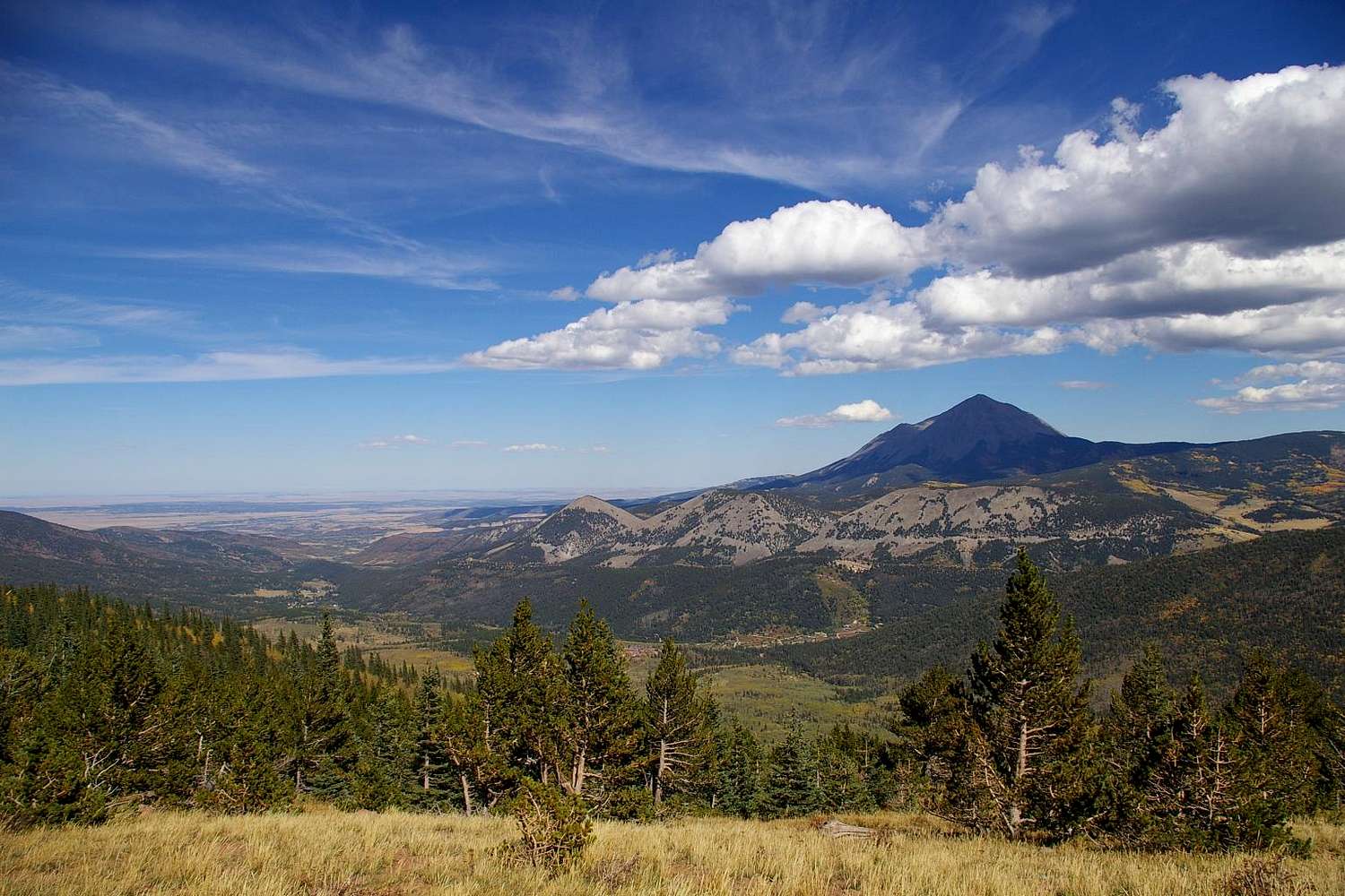
West Spanish Peak & Cucharas Valley
View High-Resolution Image
West Spanish Peak & Cucharas Valley
Shot from the top of the area designated as 'The Burn' on Cuchara Ski Area maps, this view overlooks the Cucharas Valley and the West Spanish Peak. October 1, 2005. Click image to ENLARGE!!
« PREV
NEXT »
billokc
on
Sep 9, 2007 3:59 pm
Comments & voting
Other parents
Lat/Lon:
37.33620°N / 105.1386°W
Image Type(s):
Hiking
Image ID:
334965
1802 Hits
74.43
% Score
5
Votes
Log in to vote
Comments
No comments posted yet.
to post!
Don't have an account?
West Spanish Peak
(Mountain/Rock)
« PREV
Viewing
#67 of 191
GALLERY
NEXT »
billokc's Image Gallery
« PREV
Viewing
#18 of 156
GALLERY
NEXT »
×
You need to login in order to vote!
User Name
Password
Remember me
Forgot your password?
Log me out when I close my browser.
Keep me logged in all the time.
sign in as a user
Don't have an account?
Register now for FREE
Rating available
Suggested routes for you
People who climb the same things as you
Comments Available
Create Albums
Register Here


