
|
|
Mountain/Rock |
|---|---|
|
|
37.11000°N / 113.7512°W |
|
|
Washington |
|
|
Hiking |
|
|
Spring, Fall, Winter |
|
|
4620 ft / 1408 m |
|
|
Overview
Rank: White Hills High Point is Utah’s 4418th highest ranked peak
Prominence: 520 ft
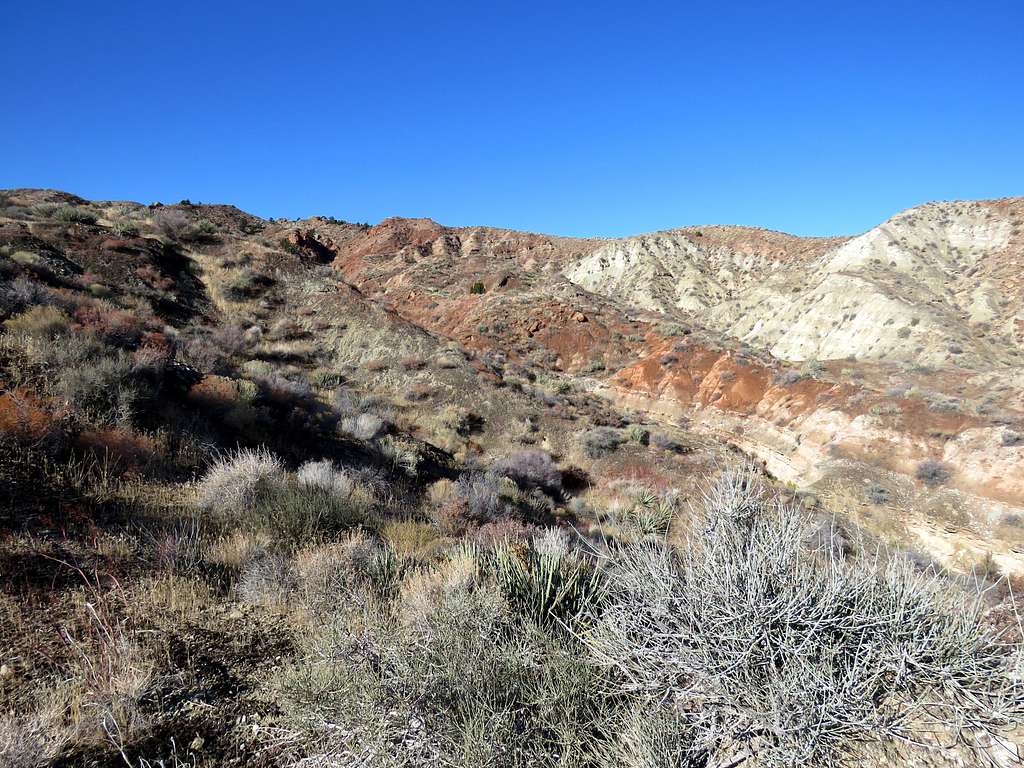
In the southwestern corner of Utah, just to the west of the town of St. George, on satellite photos and Google Earth, I had noted an area of barren white colored lands that seemed to be severely eroded. The area was labeled as White Hills and its highest point turned out to be a ranked Utah summit so I decided to explore it.
The eastern slopes of White Hills are gentle creating a complex maze of canyons and dry washes that go 1800 vertical feet below the high point to reach Santa Clara River. The western and southern slopes, create walls that drop more than 500 vertical feet. A number of red colored flat top mesas known as South Hills rise to the east of the White Hills. Well established mountain biking trails can be found on top of the mesas. I decided to start my hike from Cove Wash Trailhead (mountain biking trailhead for South Hills).
I will describe here a 15.4 mile loop hike that took me from Lower Cove Wash Trailhead to the summit of White Hills High Point and back as shown on the map below. For the north arm of the loop, I followed a bike trail a short distance and then found my own path across and through numerous dry washes/canyons until I reached a particular canyon that I had chosen by looking at satellite photos. I then followed the bottom of that canyon uphill to reach a ridgetop trail that took me to the summit. For the southern (return) arm, I followed a nameless trail/abandoned jeep road and then the bottom of a dry wash.
Getting There
From the intersection of Routes 18 and 8 in St. George, Utah, drive 3.5 miles west on Route 8 (West Sunset Blvd.) through the community of Santa Clara and turn left (South) onto Gates Lane. Go over the bridge on Santa Clara River and drive Gates Lane 1600 ft to a 90 degree turn. Shortly after the turn, you will find the Lower Cove Wash trailhead (I was afraid that the road to the Upper Trailhead might be rough so I started my hike at the lower TH. The dirt road actually turned out to be well graded and I could have easily driven to the upper TH saving myself 2.25 miles of roundtrip hike).
Route
Elevation at Lower Cove Wash Trailhead: 2830 ft
Summit Elevation: 4620 ft
Loop Hiking Distance: 15.4 miles from lower TH (13.15 miles from Upper TH)
Total Ascent per my GPS: 2770 ft
From Lower Cove Trailhead, I hiked the dirt road 1.15 miles to the upper trailhead at 3145 ft elevation (as mentioned above, I could have easily driven this section). I then got on Precipice Trail heading west.
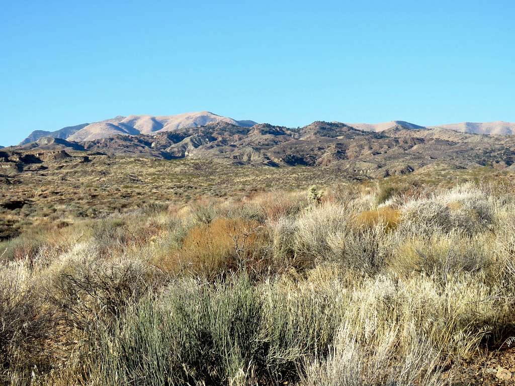
The trail took me to a 3290 ft high point. Looking west toward West Mountain Peak and north at Red Mountain.
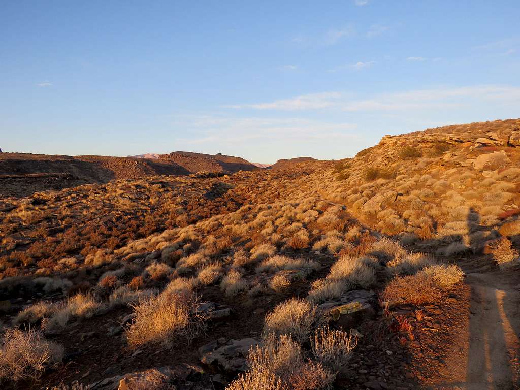
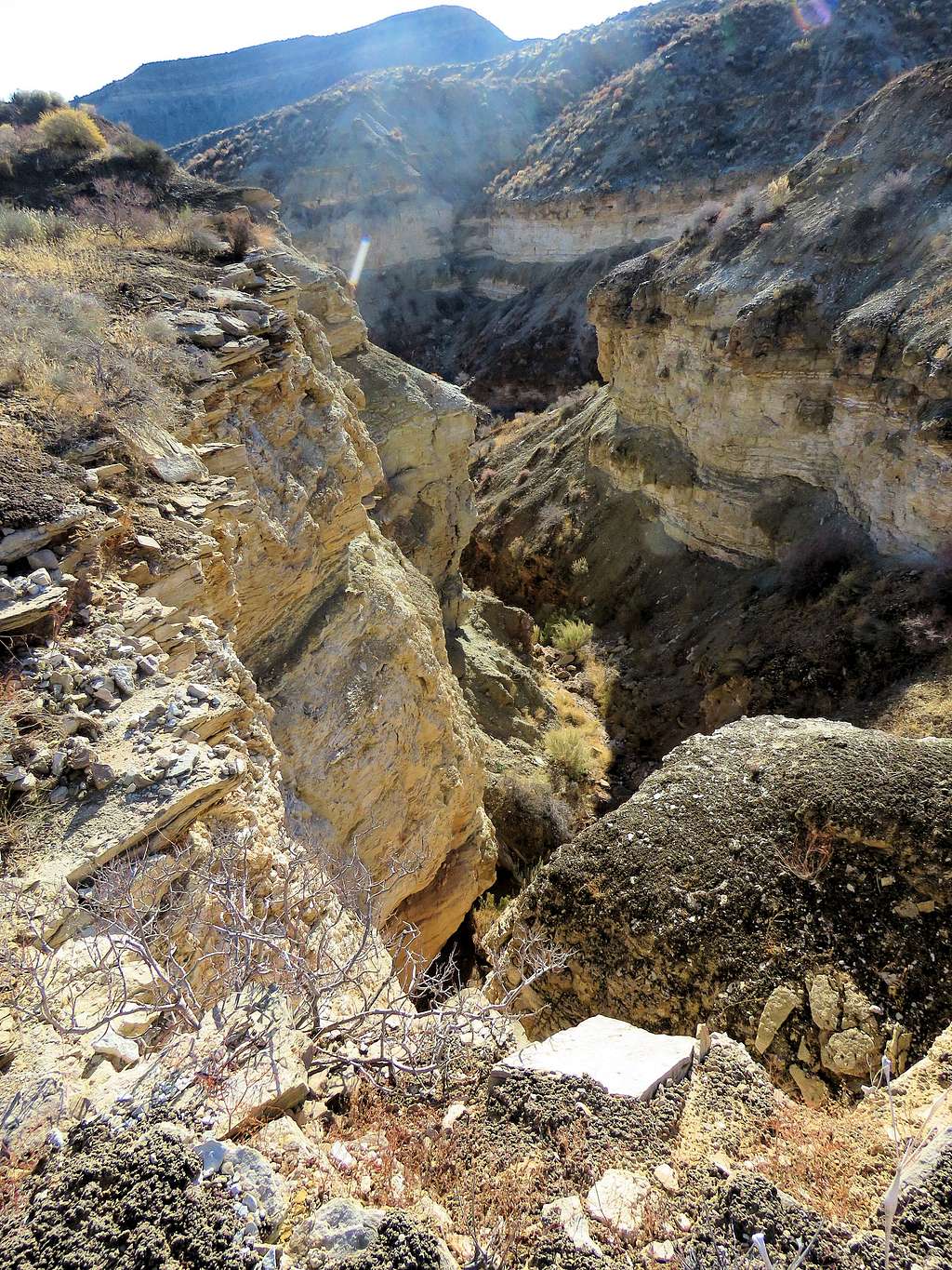
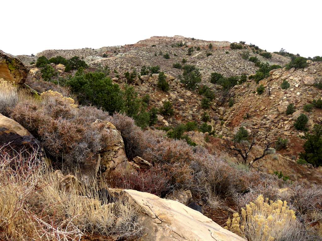
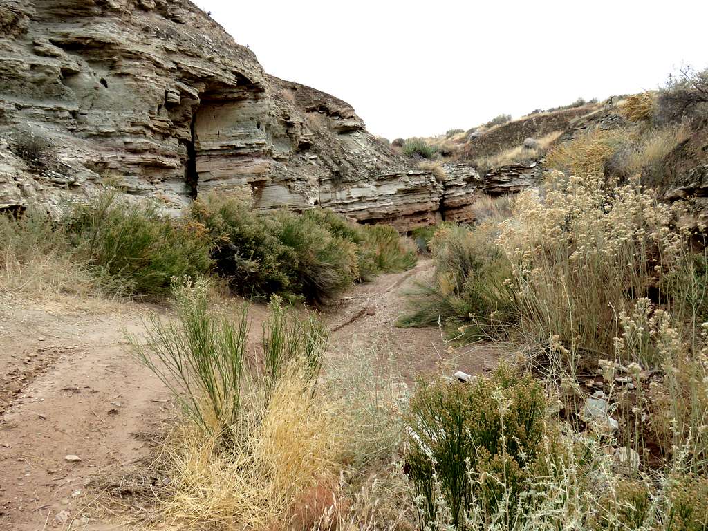
After following the trail a short distance on the west side of the high point, I left trail going down into a valley between two mesas. As I went beyond the mesas, a small canyon began to form.
I had entered the path that I had chosen by looking at satellite photos, into my GPS. Without GPS, it would have been difficult to find my way through the maze of canyons and dry washes.
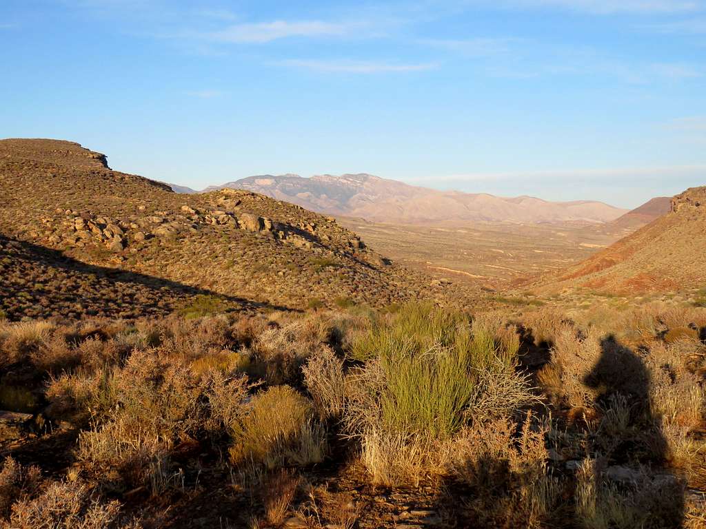
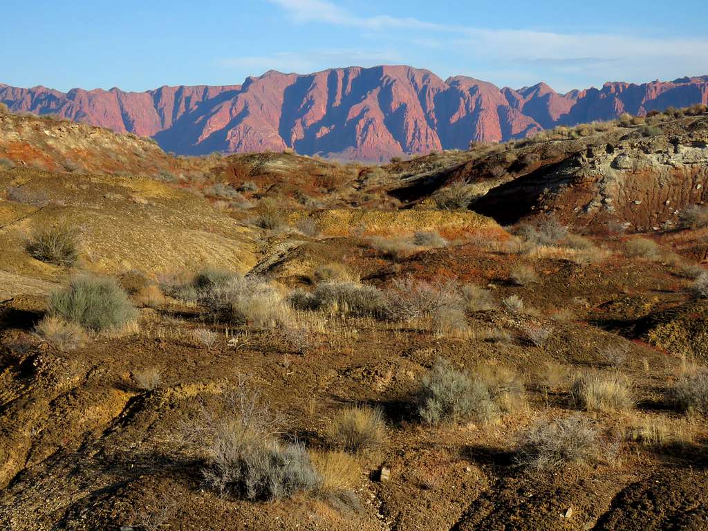
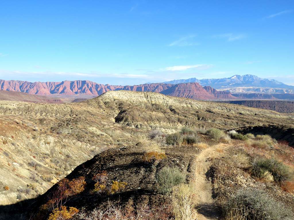
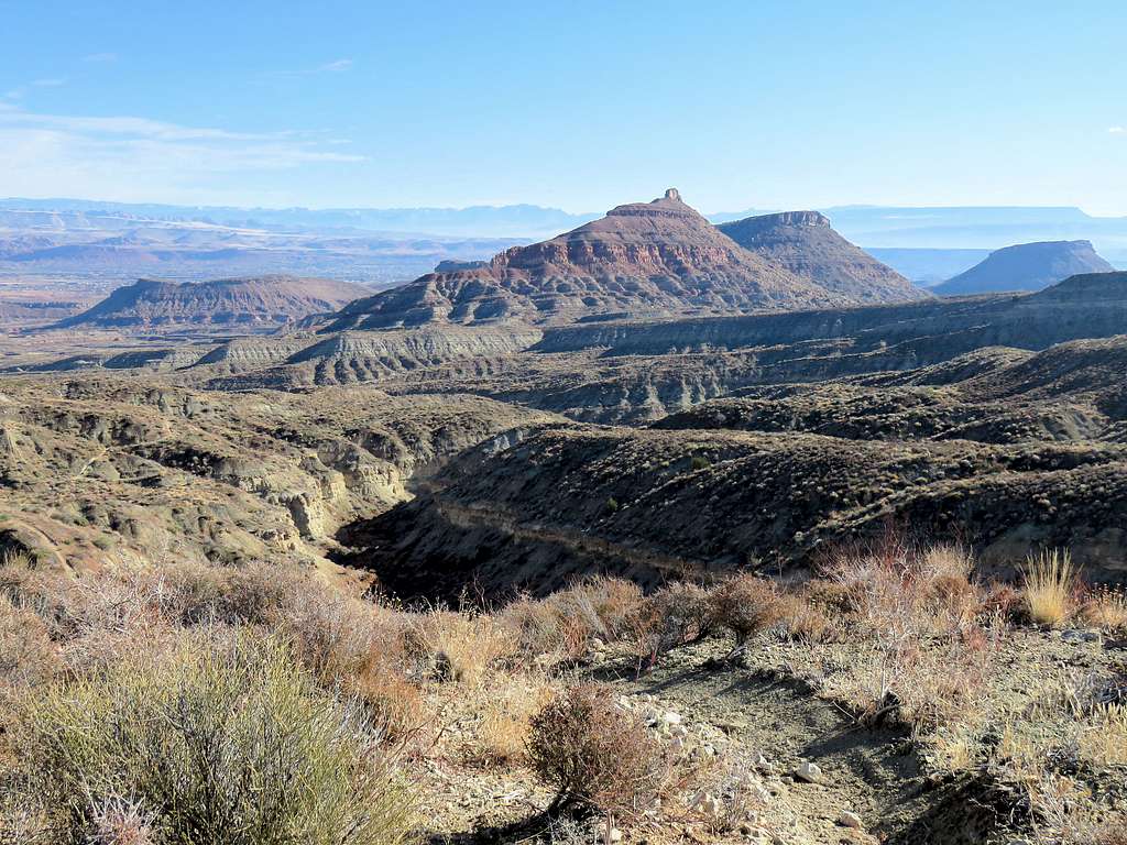
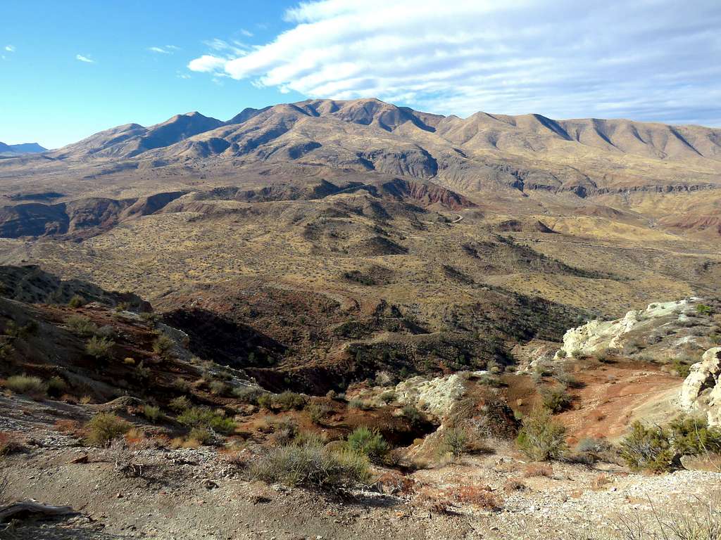
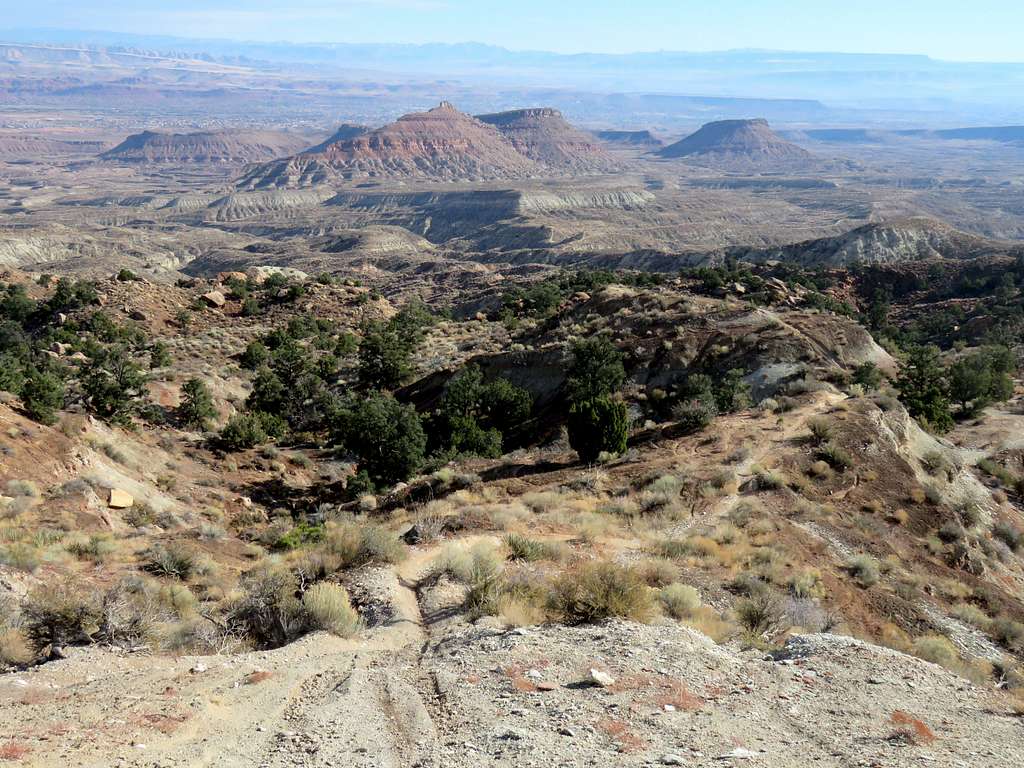
At a nonspecific junction with another canyon as shown on the map (down to 2990 ft elevation), I turned left and began hiking up another canyon. The new canyon soon turned into an open dry wash. The 6529 ft Jarvis Peak came to view to the southwest. White Hills High Point could be seen in front of it.
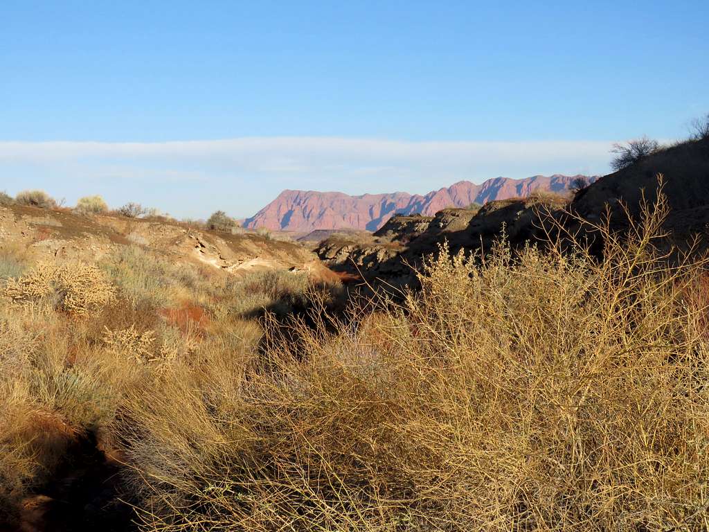
Another view of Red Mountain from the White Hills.
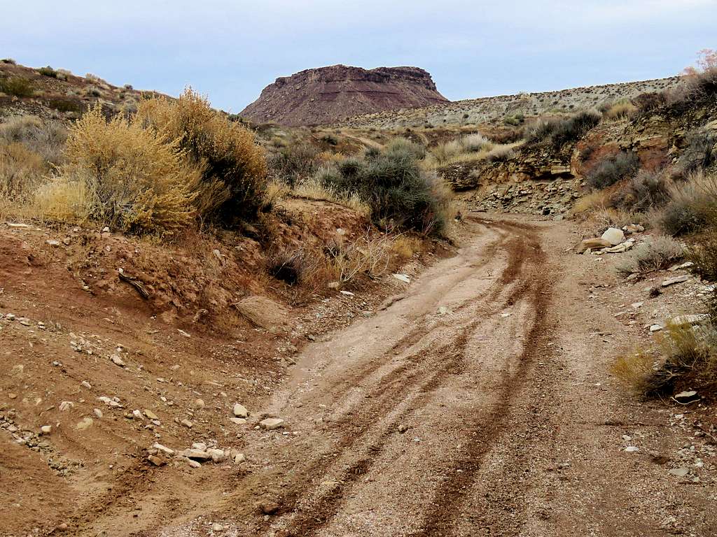
I soon left the dry wash and headed west traversing many other dry washes until I reached the canyon that I had selected. Took me a few minutes to find an easy path down the wall of the canyon to reach its bottom.
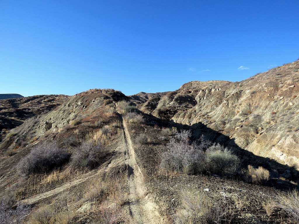
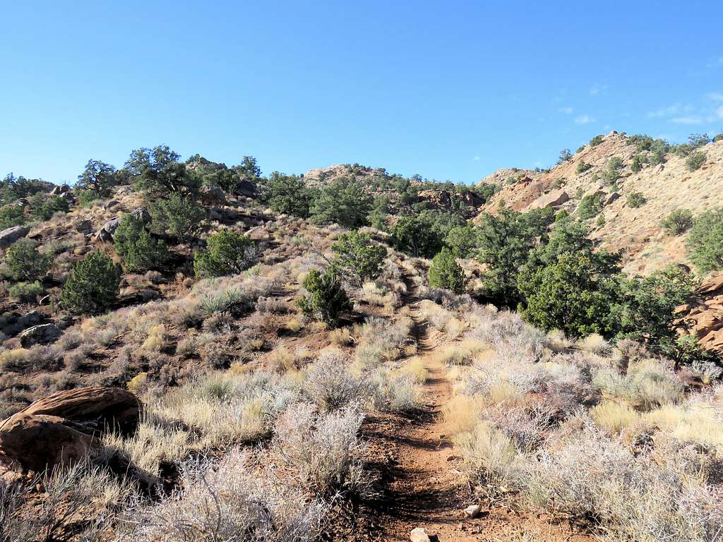
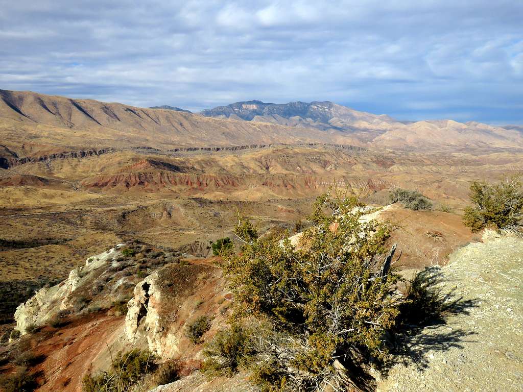
Followed the bottom of the canyon uphill to another nonspecific spot at 3370 ft elevation as shown on the map where a well established trail left the canyon on the right (west) side going to the top of a ridgeline (the trail actually started 400 ft before where I left the canyon). I remained on that trail all the way to the summit. View from ridgetop trail.
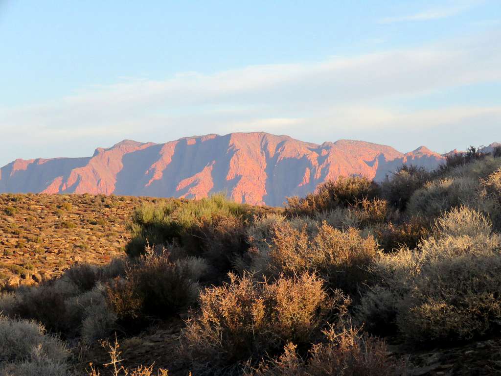
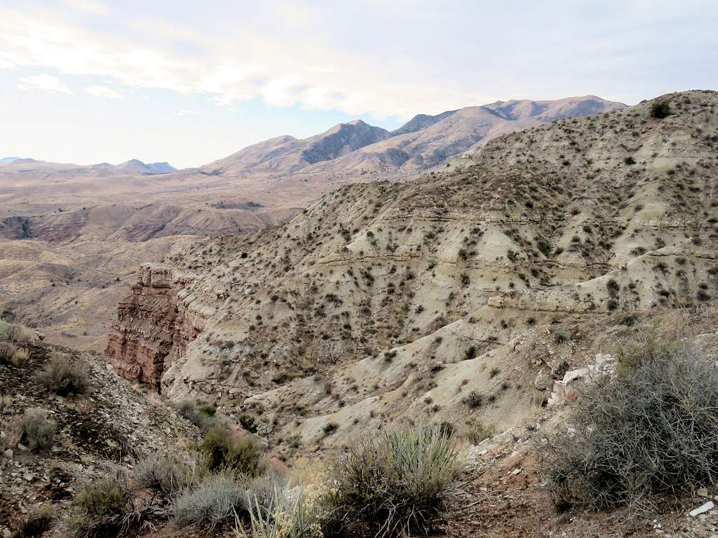
Red Mountain and Signal Peak.
Surrounding hills.
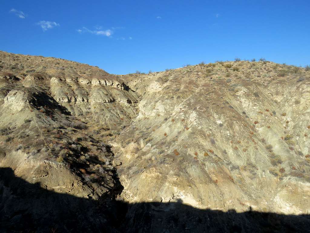
As I went higher, the canyon that I exited became very deep. Had I remained in it, I would have likely run into impassable obstacles.
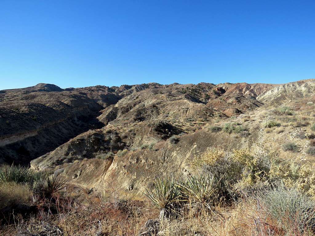
Looking back at South Hills (flat top mesas near trailhead).
The trail did some ups and downs and in some places became very steep (making me wonder how anyone could carry a bicycle up or down those spots) . Juniper Trees appeared at about 4000 ft elevation.
Reached the summit after a final steep section. Jarvis Peak to the southwest.
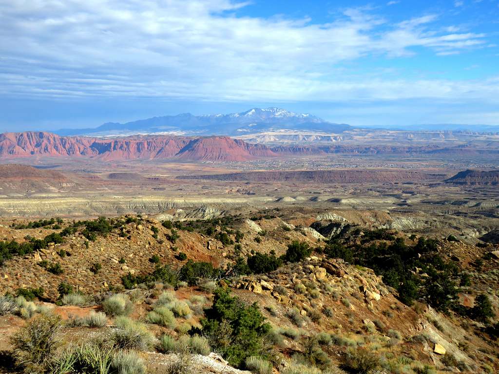
West Mountain Peak to the northwest.
Red Mountain and Signal Peak to the northeast.
South Hills.
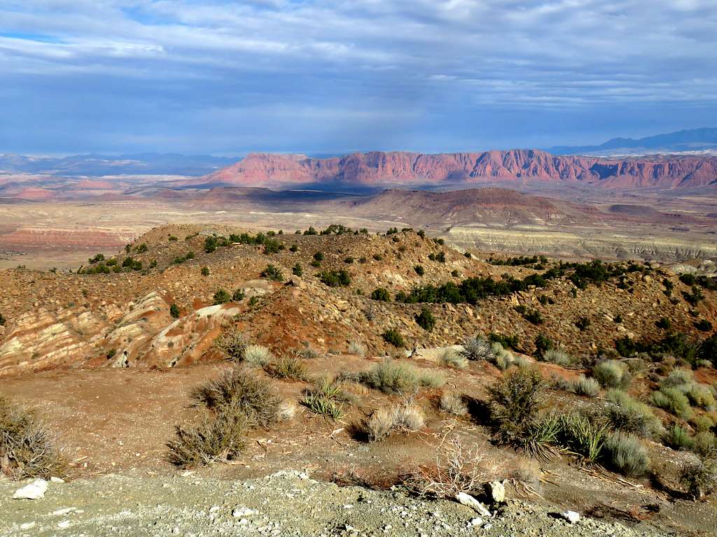
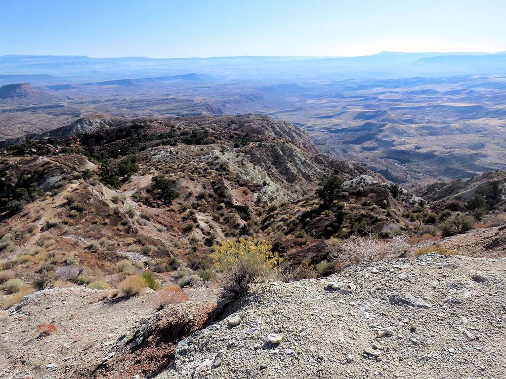
Looking southeast at the walls dropping down into the arid lands below.
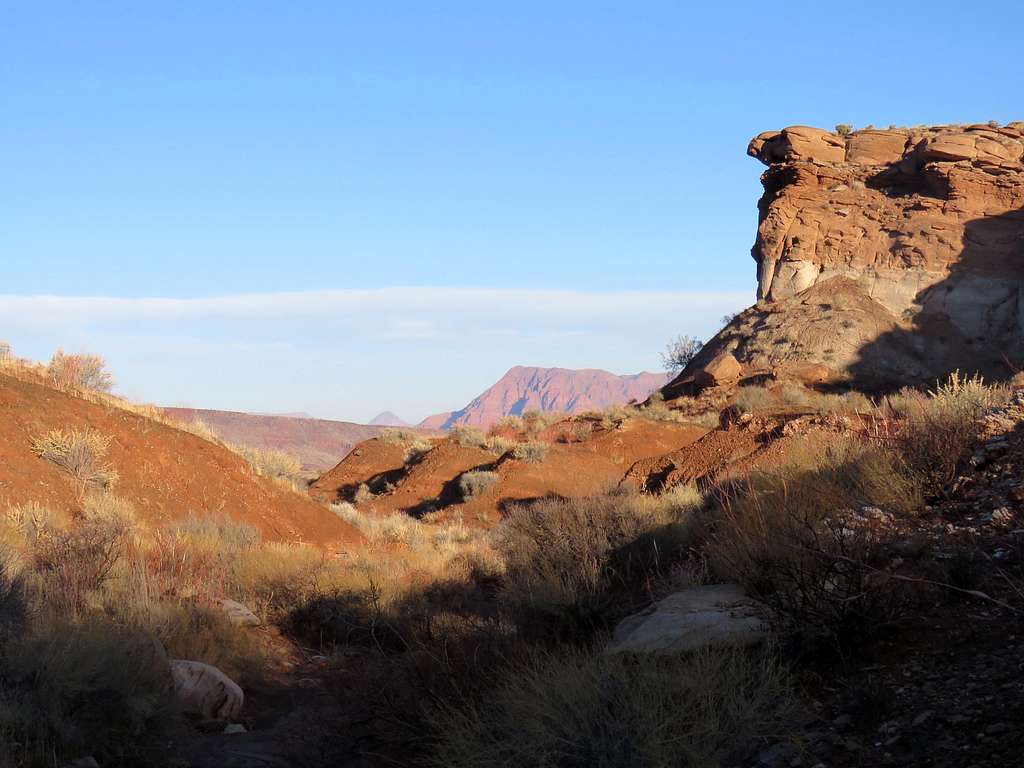
I then left the summit following a different trail as shown on the map down the mountain. Jarvis Peak and the slopes of the summit.
A look back at the summit.
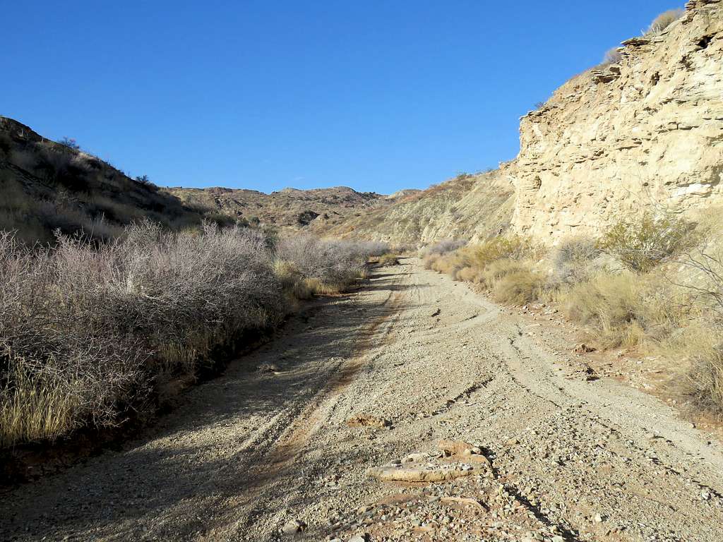
I came across other trails but stuck to the path that I had chosen as shown on the map. The trail became wide like an abandoned Jeep road, then dropped into a dry wash which ultimately took me among the flat top mesas near trailhead.
Just before Upper Trailhead, The trail climbed 100 vertical feet to reach Upper Cove Wash Trailhead. I then hiked the road to reach the lower trailhead.
When to Climb
Avoid in summer, can get dangerously hot.