Steve Pratt - Apr 15, 2013 10:46 am - Hasn't voted
BeeUtiful!
Josh Lewis - Apr 15, 2013 6:13 pm - Hasn't voted
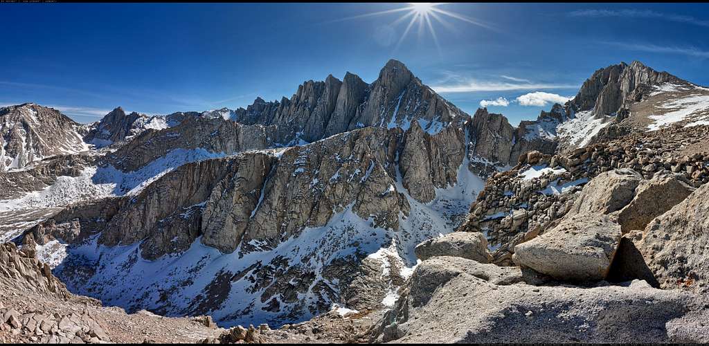
Just IncredibleI love the Panorama on your site. Very beautifully made. I've actually been in this basin, so to see it in 3-D on a computer like this is really cool. Plus the map that accompanies it is also really neat. Looks like the future of Panorama's is going to be awesome. Thanks for sharing.
brandonriza - Apr 15, 2013 6:16 pm - Hasn't voted
Re: Just IncredibleThanks Josh. Yeah I love making these things. I've been shooting mountains for quite some time, but the immersive nature of the interactive panos make you feel like you're there. Slopes look as steep as you remember them. Walls look as big. Seems to be the most accurate way of conveying what the place is really like. (Currently, anyway...)
Josh Lewis - Apr 15, 2013 9:56 pm - Hasn't voted
Re: Just IncredibleWhat camera do you shoot with? Not sure what nuggets of wisdom your willing to share with us on how this was made or captured.
brandonriza - Apr 15, 2013 10:45 pm - Hasn't voted
Re: Just IncredibleHa! No secrets.
I shoot with a Canon 5DMKII or 5DMKIII.
Shooting 360x180 HDR images gets a bit nerdy and technical, but it basically involves shooting multiple exposures of everything from a given point with a specialized tripod head(usually about 77 images when using a 15mm fisheye) then compiling them with a few different software apps, then feeding them through another piece of software that allows for the interactivity. It's sort of a long process. But the results are usually worth it.
Josh Lewis - Apr 16, 2013 1:13 pm - Hasn't voted
Re: Just IncredibleAnd then the map system for what direction your looking at! You obviously had to plug in it's location and somehow have it dialed in to show when your looking north. Just a quick heads up, Google Maps API 2 is going to shut down next month because it's been deprecated for a long time. So if you can swap to API3.
brandonriza - Apr 16, 2013 2:45 pm - Hasn't voted
Re: Just IncredibleYeah I've been following that. I have some other mapping options. I guess I'll burn that bridge when I get to it. :)


Comments
Post a Comment