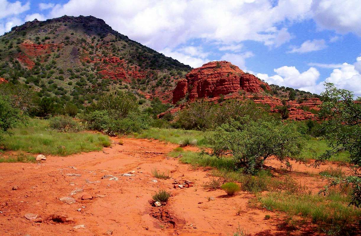
Following the deposition of lava flows from the nearby House Mountain
Shield Volcano 15,000 years ago, the Mogollon Rim retreated about 4 miles
due to (ceaseless) erosion.
These red rocks seen against the eastern edge of the volcano indicate
the original southern edge of the massive Mogollon Rim of central AZ.
The Mogollon Rim marks the southernmost edge of the sprawling (yet utterly awesome) Colorado Plateau.
September 2, 2008
[Photo taken northwest of the Hwy 179/ Beaverhead Flat Road (Cornville Road) junction in the sprawling Coconino
National Forest.]


