Toggle navigation
Mountains
Routes
Images
Trip Reports
Forum
What's New
People
Areas & Ranges
Articles
Trailheads
Canyons
Huts & Campgrounds
Albums
Logistical Centers
Fact Sheets
Lists
Custom Objects
Gear
Plans & Partners
WELCOME TO SUMMITPOST
SIGN IN
REGISTER
"Trail Rider Peak"
Additional Parents
Image
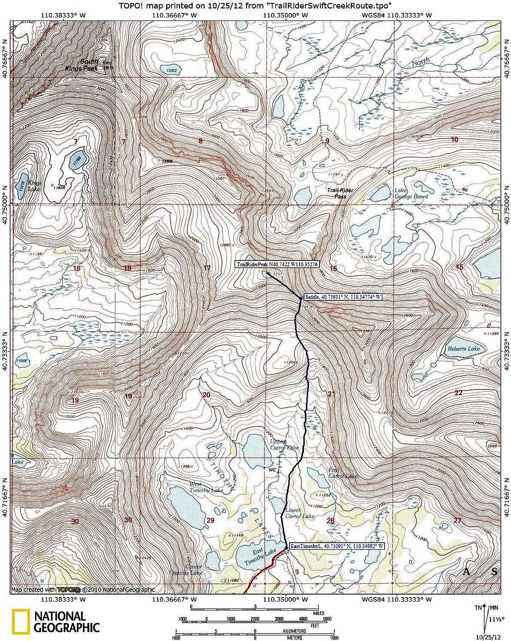
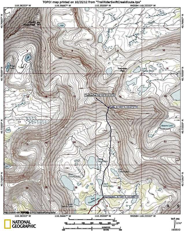
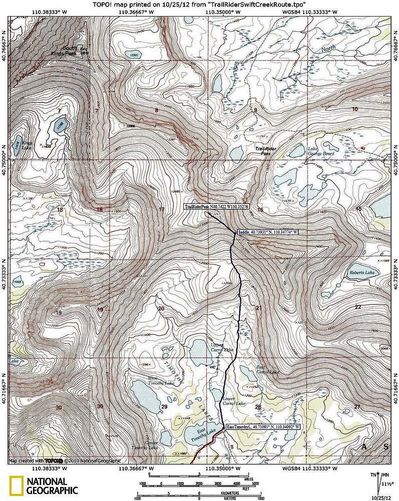
"Trail Rider Peak" Swift Creek Topo
View High-Resolution Image
"Trail Rider Peak" Swift Creek Topo
Topo map 3 for hiking to Trail Rider Peak from the Swift Creek Trailhead. The red line shows the trail. The blue line shows cross country travel.
« PREV
NEXT »
ZeeJay
on
Oct 25, 2012 12:17 pm
Comments & voting
Other parents
Lat/Lon:
40.74220°N / 110.35276°W
Image Type(s):
Topo/Diagram
Image ID:
821975
1756 Hits
74.01
% Score
4
Votes
Log in to vote
Comments
No comments posted yet.
to post!
Don't have an account?
"Trail Rider Peak"
(Mountain/Rock)
« PREV
Viewing
#21 of 24
GALLERY
NEXT »
ZeeJay's Image Gallery
« PREV
Viewing
#1291 of 1388
GALLERY
NEXT »
×
You need to login in order to vote!
User Name
Password
Remember me
Forgot your password?
Log me out when I close my browser.
Keep me logged in all the time.
sign in as a user
Don't have an account?
Register now for FREE
Rating available
Suggested routes for you
People who climb the same things as you
Comments Available
Create Albums
Register Here


