Toggle navigation
Mountains
Routes
Images
Trip Reports
Forum
What's New
People
Areas & Ranges
Articles
Trailheads
Canyons
Huts & Campgrounds
Albums
Logistical Centers
Fact Sheets
Lists
Custom Objects
Gear
Plans & Partners
WELCOME TO SUMMITPOST
SIGN IN
REGISTER
20 NEW WINTER 20
Additional Parents
Image
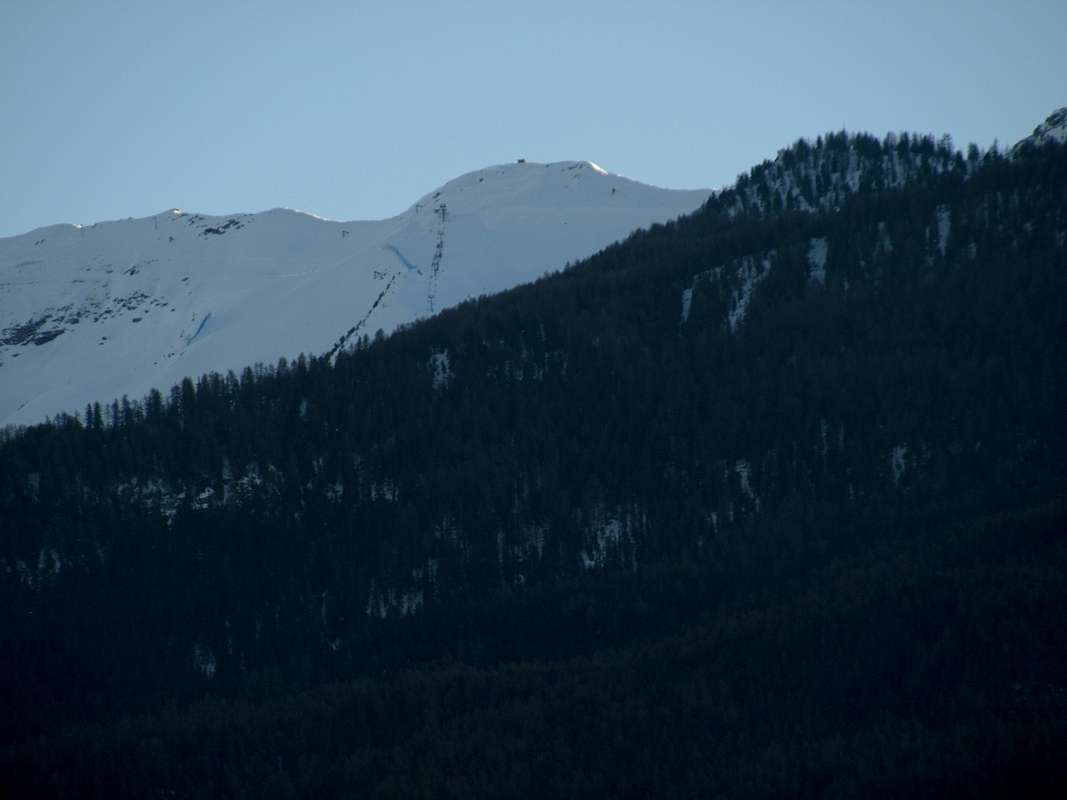
2020 Pointe du Couis or Pic de la Tombe from Northeast
View High-Resolution Image
2020 Pointe du Couis or Pic de la Tombe from Northeast
From left or West:
watershed from
Col Tsa Setze
(2815m)
descending up to the
Pointe du Couis
(2661m)
January 06th, 2020
Photo by
Osvaldo Cardellina
« PREV
NEXT »
OsvaldoCardellina
on
Jan 16, 2020 2:24 am
Comments & voting
Other parents
Lat/Lon:
45.65726°N / 7.30114°E
Image Type(s):
Scenery
Image ID:
1048467
582 Hits
75.81
% Score
6
Votes
Log in to vote
Comments
No comments posted yet.
to post!
Don't have an account?
20 NEW WINTER 20
(Album)
« PREV
Viewing
#15 of 16
GALLERY
NEXT »
OsvaldoCardellina's Image Gallery
« PREV
Viewing
#3354 of 4619
GALLERY
NEXT »
Pointe du Couis (ss) or Pic de la Tombe
(Mountain/Rock)
Loading....
×
You need to login in order to vote!
User Name
Password
Remember me
Forgot your password?
Log me out when I close my browser.
Keep me logged in all the time.
sign in as a user
Don't have an account?
Register now for FREE
Rating available
Suggested routes for you
People who climb the same things as you
Comments Available
Create Albums
Register Here


