
|
|
Route |
|---|---|
|
|
36.65970°N / 81.5447°W |
|
|
Hike |
|
|
Half a day |
|
|
Walk-up |
|
|
Approach
To get to Mt. Rogers, turn immediately south from I-81 exit 35. Follow the major two lane White Top Road 11 miles until you cross a small bridge and come to an intersection. Look for a sign that says "White Top Road" and "Elk Garden" on the left. Turn left. Continue up the major two lane white top road another 5 miles to the trailhead.
The AT trailhead is at Elk Garden (4,450'). It is a small parking lot which indicates the Appalachian Trail. There is a registration box and information kiosk at the trailhead. Across the road from the rustic parking lot, is a gate. Open and close the gate behind you and you will find a sign which says, 4.5 miles to Mt. Rogers.
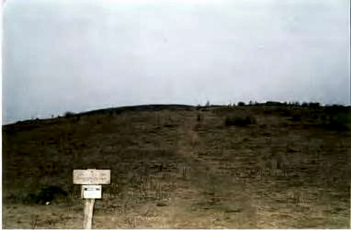
The trail starts across the road, on this meadow
Route Description
The trail up goes over one a bare field. Then you see some light trees, and then you enter the woods, where you are greeted by a wilderness sign. Follow the Appalachian trail and you will see Mount Rogers through the trees. After a couple miles you start the ascent uphill. It is about 3 miles to Wilburn Ridge. You never get on the ridge. The trail curves around and goes back towards the Rogers summit. 1 mile later you get to a higher clearing above the meadows. This is a very pretty spot to sit and relax, and enjoy a splendid view. A little higher up is a sign that says, Mt. Rogers Summit, 1/2 mile. The trail to the top is in the middle of dense woods, without any view. Just a big boulder. When I went, the high point sign was gone. The people at the visitor's center said it was stolen. It may be back up, but don't count on it being there.
Elevation gain is about 1,500 feet due to the ups and downs.
Round Trip hike is 9 miles.
-However, for a longer hike, I suggest playing around in Wilburn Ridge, which is quite pretty. But beware, because it is a very large area, where you will cover a lot of mileage. Plan for a long day if you want to explore Wilburn Ridge.
Essential Gear
The trail can get icy in winter, so just be careful. I climbed in January and slipped a couple times, but I was okay. Just bring some nice shoes, because it is a long hike.
Miscellaneous Info
If you have information about this route that doesn't pertain to any of the other sections, please add it here.
Bark Eater - Sep 19, 2011 2:38 pm - Hasn't voted
Better directions to THDon't worry about route numbers. They will just confuse you. Turn immediately south from I-81 exit 35. Follow the major two lane White Top Road 11 miles until you cross a small bridge and come to an intersection. Look for a sign that says "White Top Road" and "Elk Garden" on the left. Turn left. Continue up the major two lane white top road another 5 miles to the trail head.
jrlang45 - Jan 23, 2018 10:55 am - Hasn't voted
SummitWhen I was there a while back, there was still no sign on the summit. That "big boulder" is very obvious, though, and there is at least one USGS survey marker on it letting you know you're at the summit. Definitely easy to overlook that you're at the top though since it's heavily forested.
Alpinist - Apr 22, 2024 5:49 am - Voted 7/10
Route name: Elk GardenYou should change the name of this route to ""Elk Garden" to make it more obvious which route this is. Right now, the route name is "4.5 mile Appalachian Trail route" Most people won't know which route that is... The USFS calls it the Elk Garden trailhead and that's how most people refer to it.
hgrapid - Apr 22, 2024 10:53 am - Hasn't voted
Re: Route name: Elk GardenThanks!