Dmitry Pruss - Jan 21, 2007 2:10 am - Voted 10/10
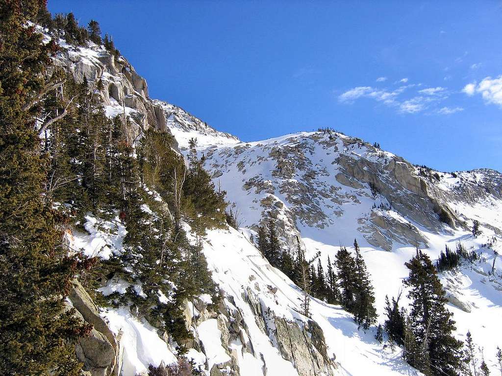
Can you draw a schema or point on the mapwhere you went from here. From the text it is clear that there was a way to along the ridge, but whereabouts?
Joseph Bullough - Jan 21, 2007 6:30 pm - Hasn't voted
Re: Can you draw a schema or point on the mapI shot this photo from 0437593E 4488588N (NAD83), @ ±10,350 ft. I didn't get any photos looking up the ridge, but basically we headed 90-degrees left from the direction of this photo. After working our way through a few bands of trees and rocks we came to the long snow field which led to the upper ridge, and from there an easy boulder hop to the summit.
Dmitry Pruss - Jan 22, 2007 6:20 pm - Voted 10/10
Oh, I seeSo you just veered a bit too much left on your ascent, to this spur ridge?
I also got sidelined a bit to the left when I was there, but since I was heading for back side of Cleaver and on to Hogum, I corrected it very quickly.
But the really interesting question is, you must have seen the ridge of peak 10,491 up close on your way up. How is it? I have this pipe dream of following the ridge between LCC and Bells all the way to N Thunder one day, but I've only scouted the route to about 7,500 ft el, so any beta on what's beyond is greatly appreciated.
Joseph Bullough - Jan 24, 2007 2:05 pm - Hasn't voted
Re: Oh, I seeI glanced up at that ridge a number of times, but unfortunately I never shot a photo of the upper part of the ridge, or of peak 10,491. It sounds like a route worth investigating further. I wouldn't be surprised if the crux(s) of that route would be found way down low, i.e. bypassing the cliffs on the lower north wall of Bells.


Comments
Post a Comment