Toggle navigation
Mountains
Routes
Images
Trip Reports
Forum
What's New
People
Areas & Ranges
Articles
Trailheads
Canyons
Huts & Campgrounds
Albums
Logistical Centers
Fact Sheets
Lists
Custom Objects
Gear
Plans & Partners
WELCOME TO SUMMITPOST
SIGN IN
REGISTER
Glacier National Park, MT
Additional Parents
Image
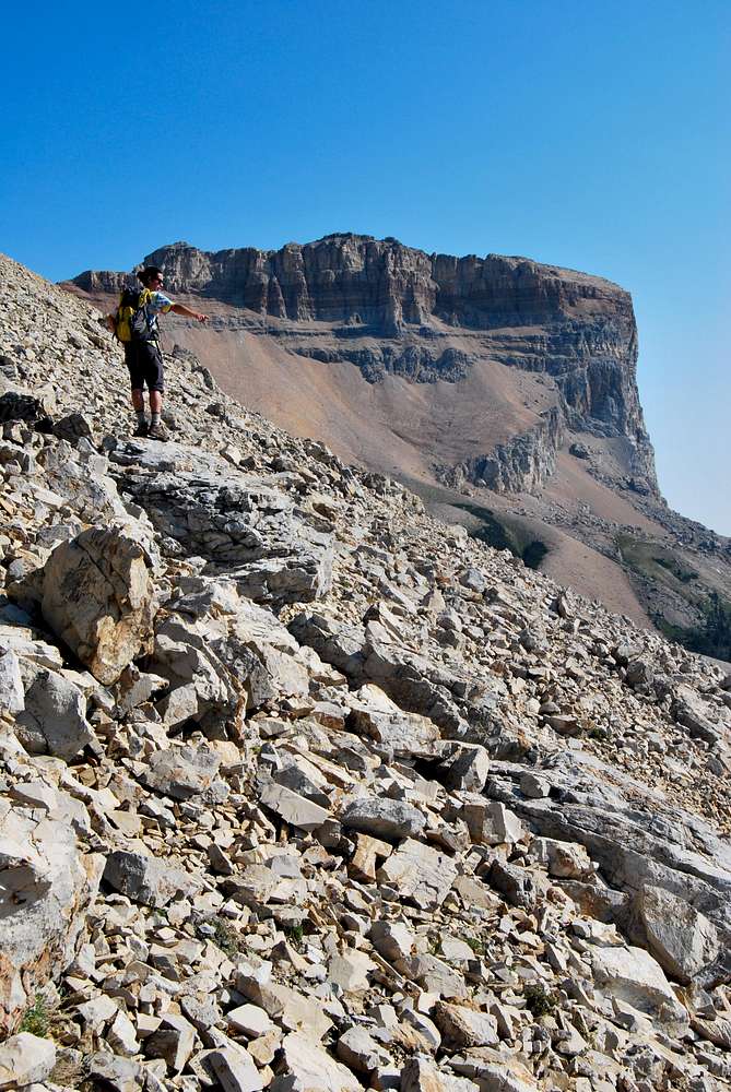
approaching Chief
View High-Resolution Image
approaching Chief
My good buddy Tyler traversing the talus slopes south of Ninaki & Papoose peaks en route to Chief Mountain (background). September 1, 2009
« PREV
NEXT »
distressbark
on
Sep 28, 2009 2:14 am
Comments & voting
Other parents
Lat/Lon:
48.91878°N / 113.6268°W
Image ID:
557902
2932 Hits
75.81
% Score
6
Votes
Log in to vote
Comments
No comments posted yet.
to post!
Don't have an account?
Glacier National Park, MT
(Area/Range)
« PREV
Viewing
#635 of 2007
GALLERY
NEXT »
distressbark's Image Gallery
« PREV
Viewing
#173 of 598
GALLERY
NEXT »
Chief Mountain (MT)
(Mountain/Rock)
Loading....
Lee Ridge Approach
(Route)
Loading....
Put The Load Right On Me (Glacier National Park 2009)
(Album)
Loading....
×
You need to login in order to vote!
User Name
Password
Remember me
Forgot your password?
Log me out when I close my browser.
Keep me logged in all the time.
sign in as a user
Don't have an account?
Register now for FREE
Rating available
Suggested routes for you
People who climb the same things as you
Comments Available
Create Albums
Register Here


