Grinnell Memorial Nature Sanctuary
This is the trailhead on Smith Fisheries Road.
A new sign marks the beginning of the official loop. "Medical Rescue is Difficult."
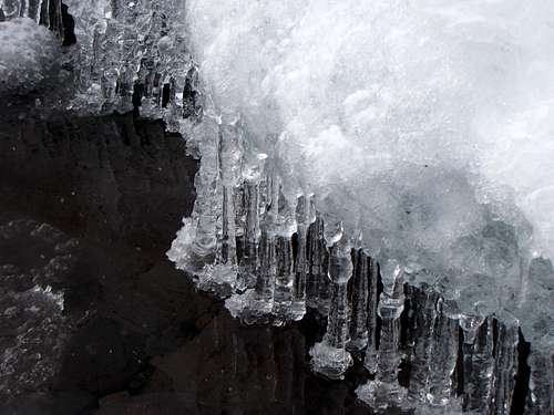
Paul is looking at a random ice falls that we happened upon.
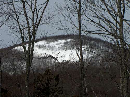
Mount Houghton can be see in the distance.
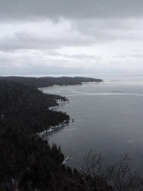
One finds a nice view from the top - looking east towards Fish Cove.
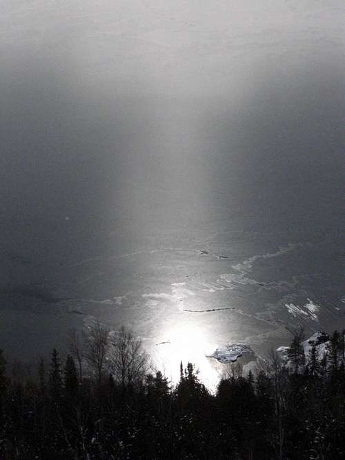
The sun was reflecting off the quasi-frozen lake in a strange manner.
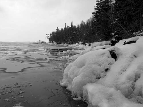
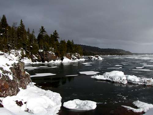
More of Fish Cove
And you can see the Smith Fisheries building far away.
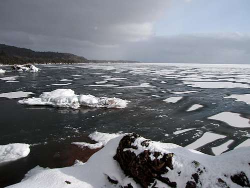
There are strange patterns in the ice.
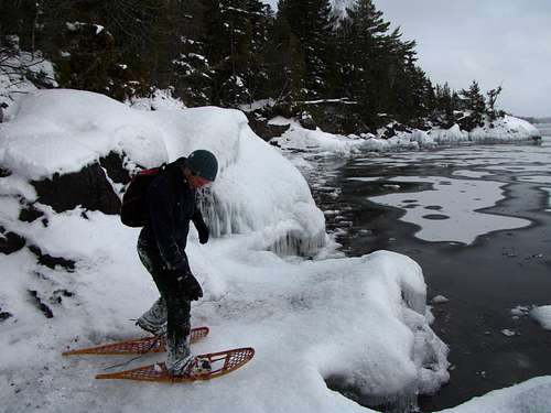
There's me.
The rock that sticks out from the snow is quite striking - Rhyolite I believe.
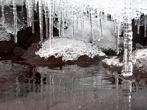
Then we started down the bluff toward the shore of Lake Superior. We walked by an icicle that had a crazy high tannin-content.
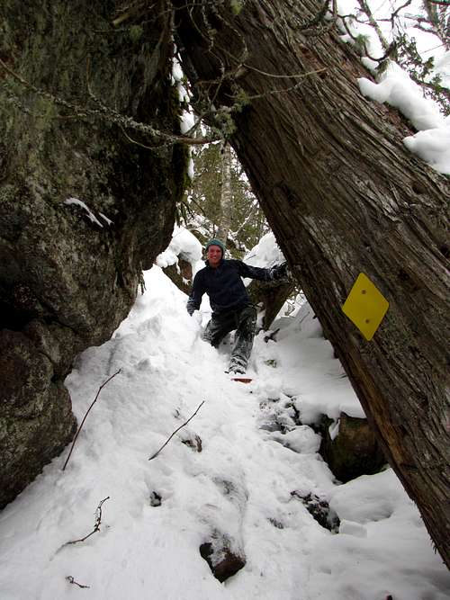
Believe it or not, this is part of the marked trail. It seems to be a frozen stream, at about a 45 degree angle, going through brush and under trees.
we made our way down to the lakeshore. Note the interesting patterns on the water. There was a very thin layer of wet slushy ice covering the water; but in certain areas, the water hadn't soaked through the ice, so the snow on top is bright white.
The ice we were standing on was actually a platform of ice about six inches over the water. So I got on my belly to get some photos of what was underneath.
Here's some more shots of the icy bay and the rest of the shoreline we saw on the way out.
For more info, see the nice official brochure below, followed by a good description on a website about the Keweenaw Peninsula:
http://www.michigannature.org/home/sancts/grinnell/grinnell_brochure.pdf
http://www.kewtrav.com/index.php?option=com_content&view=article&id=43&catid=43&Itemid=2
External Links
Add External Links text here.


Comments
Post a Comment