

lcarreau - Feb 27, 2010 10:58 am - Voted 10/10
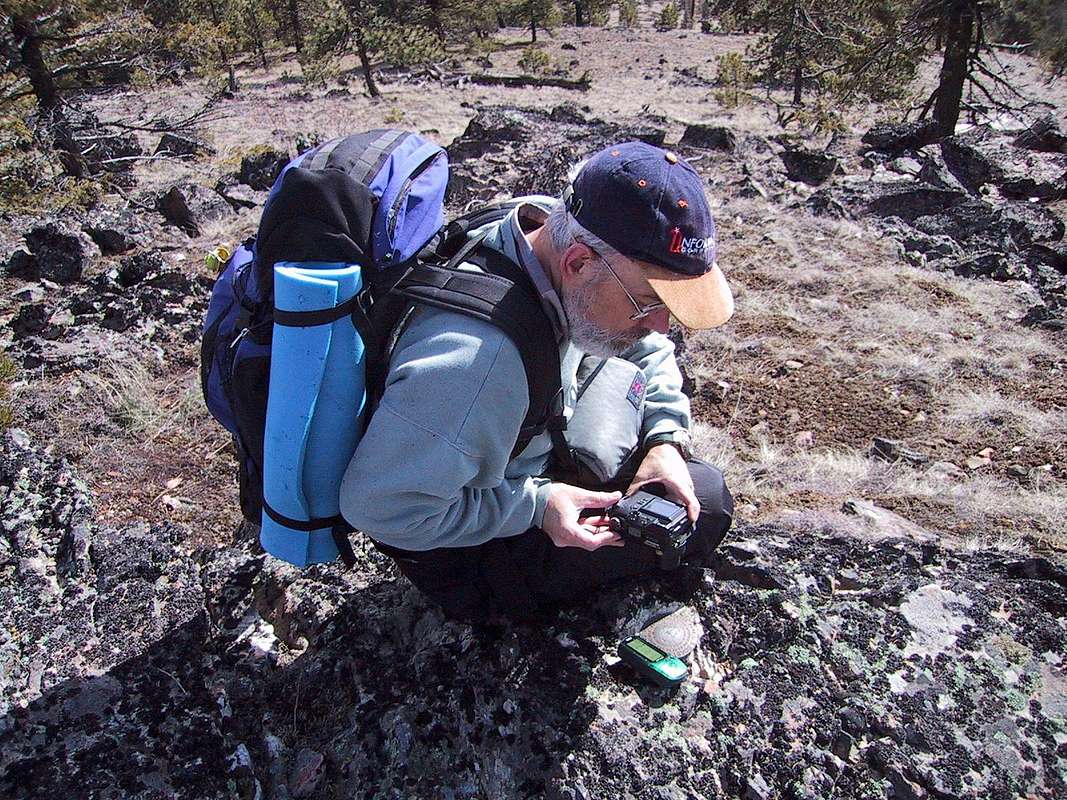
Queston, please ...What's the "green-colored" gadget lying on
the ground next to the benchmark ???
Is that a Rhino 120 GPS unit ???

Bob Bolton - Feb 27, 2010 11:30 am - Voted 10/10
Re: Queston, please ...It's an old Garmin that I left high on Yellow Aster Butte in November of that same year, so went and bought a Magellan. I like to take a photo of the BM with the GPS sitting right next to it. Didn't start doing that, however, until I got a digital camera.
Bob Bolton - Feb 27, 2010 11:33 am - Voted 10/10
Vaguely awareI guess I do remember you not being accustomed to this behavior, but it never sank in that this was the beginning of your interest. Since I got a digital cam, I've taken a bunch of BM pix, but I know I've also missed some too. I guess it would be interesting to collect them all and see how many there are! :-) I also take a photo of my GPS on every summit, unless I forget for some reason. It's cool because it gives time of day and provides evidence of having made the summit.

Dean - Feb 27, 2010 3:31 pm - Hasn't voted
Re: Vaguely awareIndeed it was you. The only previous benchmark picture I had ever taken was the one on top of Stone Mtn in Georgia. You also were my mentor in getting to use a GPS and I copy your trait of taking pics of the GPS and Benchmark together. See, you are the one that hooked me on many mountain aspects.
I've been going back through all my pics to find the ones I have of the benchmarks and the album here on SP is slowly getting bloated on them. Over 180+ now, and I'm sure more to go. I don't have all of them, my shot of the benchmark on Laurel Mtn for example is too blurry to use. Do you have one of that one? Laurel Mtn, Oregon.
Bob Bolton - Mar 2, 2010 7:45 pm - Voted 10/10
Re: Vaguely awareNope, on Laurel Mtn all I shot was my GPS. I had my back turned to the FAA facility so they wouldn't see my camera if they were watching. This all made me feel a bit paranoid about crouching down for a BM photo. Silly of my I suppose. After converting from NAD27 to WGS84, my GPS reading takes me here. The GPS elevation was 3582.


Comments
Post a Comment