

eazyelion - May 12, 2006 1:58 am - Hasn't voted
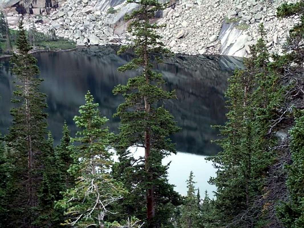
Approach to Summit RampIs the way around the lake, up and through the trees, and climbing slabs pretty apparent in finding the summit ramp? The picture with the route lines drawn in seems fairly easy to follow. I've been to Black Lake many times and it just looks like it'd be tricky getting up to the point where the route begins. Any advice or personal experience?

brenta - May 12, 2006 6:29 am - Hasn't voted
Re: Approach to Summit RampYes, it gets a bit tricky as soon as you cross Black Lake's outlet. On the way up, I think the key to easy passage is to stay pretty close to the Arrowhead. On the way down the key would be to retrace your steps, though I didn't do it so well and ended up with much more krummholz, slabs, and bushwhacking than on the way up.
Another thing to keep in mind is that when this route is wet it gets significantly trickier.
_alpha - Aug 24, 2015 1:09 pm - Hasn't voted
ApproachClimbed 8/22/2015. I had a pretty easy time from Black Lake up the slabs.
- There was a decent path to follow from the outlet along the lake that went partially through bushes and trees and partially along the lakeside.
- One path went through the woods and popped out on the grassy slopes just above the boulder section. Another option is to stay closer to the lake and boulder hop.
- From here there was a faint but pretty easy trail to follow upward. I only got into one bit of trouble where the faint trail seemed to go up and to the right, but this quickly cliffed out. I backtracked and took more of a turn to climber's left to angle up a couple slabs and found the grassy slopes that let you traverse left under Arrowhead.
- These slopes eventually turn rockier and led me up to a nice cairn with slabs to climber's right and boulders/talus below. By remembering this spot and aiming for it on the descent, I was able to retrace my ascent route on the way down and avoid any issues.


Comments
Post a Comment