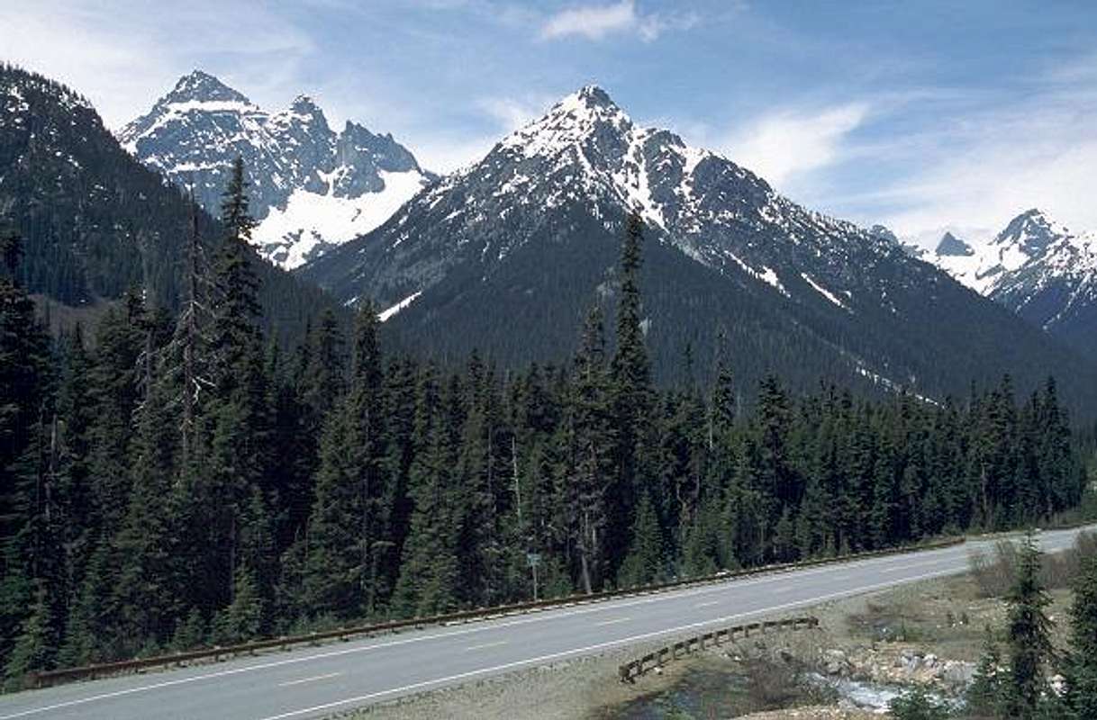
Black Peak pokes above a hard-to-discern closer ridge on the far left of this photo taken near the Porcupine Creek crossing on the North Cascade Highway. The closer ridge is discernable when zooming in on the original scan, but for awhile I couldn't figure out this scene when comparing it to the
topozone.com map. If you follow that link, note that the Pacific Crest Trail was rerouted to much higher terrain while the highway was under construction in the '60s and '70s.


