
Viewing: 1-1 of 1

Dean - Jul 20, 2014 10:57 pm - Voted 10/10
Great additionThanks so much for taking the time to put your trip report together. The pics and commentary are good stuff.
Viewing: 1-1 of 1
|
|
Trip Report |
|---|---|
|
|
41.91136°N / 113.36597°W |
|
|
Jul 11, 2014 |
|
|
Hiking |
|
|
Summer |
One of your goals, Bull Lake Cirque. Just to clarify, if you look further South from the Delta/Marsh, there is an actual clear-water Spring that is Bull Lake. The water so clear in-fact, you can see the chasm from which the water "springs".
THE DRIVE:
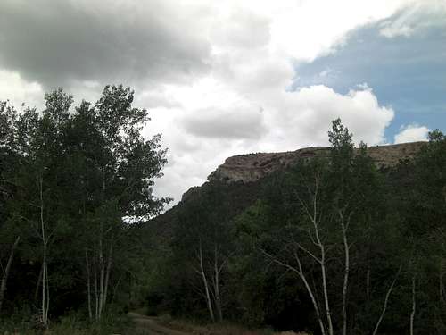
Before departing, checked RADAR. No echoes North of Great Salt Lake at all. Blue skies most of the way there. But go figure, as soon as Sawtooths came into view, single-cell Towering-Cumulus directly above Bull Mountain =/ Still mostly white though, so decided to give it a go.
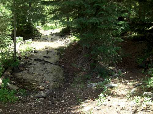
From Ogden, it was just over two hours. Initially thought I was making good time because new posted speed-limit on the Edges of Utah (I-15/I-84/80 mph)! So then, yes, take the Second Exit in Snowville to get to SR30 continuing straight to SR 42 (both paved/65 mph) for short way into Idaho. Turn Left/West onto Strevell Road (dirt/35 mph). Then, Left/South to Clear Creek Road (dirt/25 mph) returning back down into Utah. You'll only have to drive dirt for about 10 miles. Turn hairpin Left into Clear Creek Campground past First Vault until you see Trailhead or wide end-of-road camp-site near Second Vault. In July 2014, original road to Round-a-bout Trailhead had been bull-dozed with berms every 5 yards.
THE HIKE:
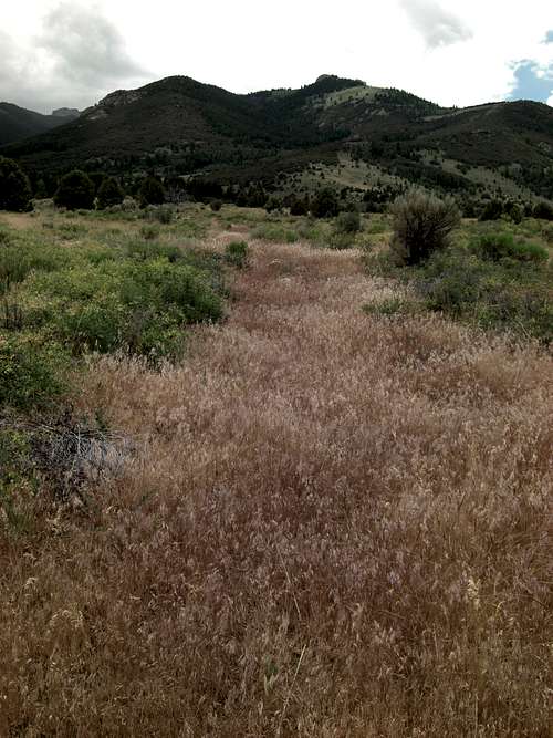
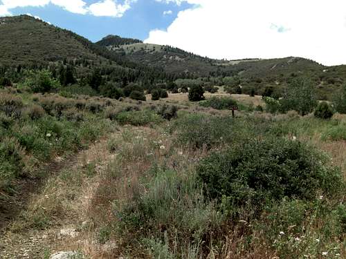
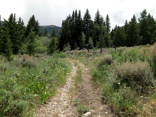
Hike to Box Elder County Highpoint is just over 4 miles one-way. Start by walking past Second Vault along bermed road toward and past old round-a-bout.
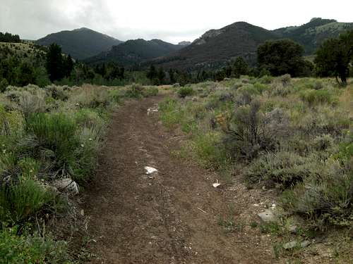
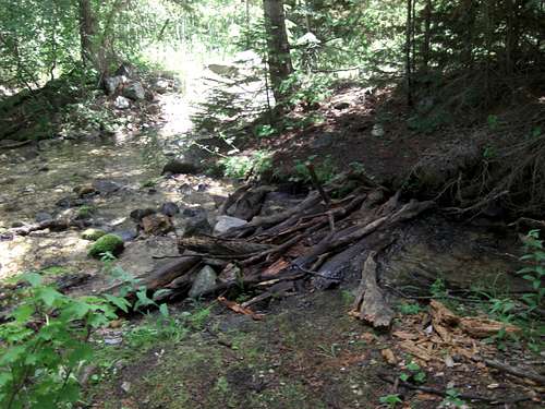
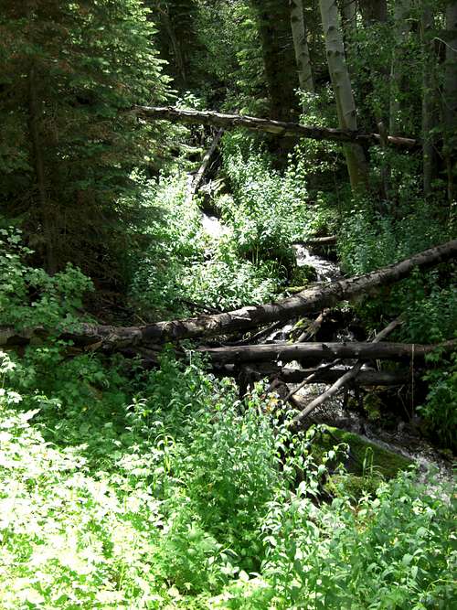
Continue on dried-grassy two-track until it meets brown-dirt road at intersection with "BULL FLAT" Trail-sign. Veer Left/South and follow dirt road for 1.3 miles when you'll encounter long creek-crossing.
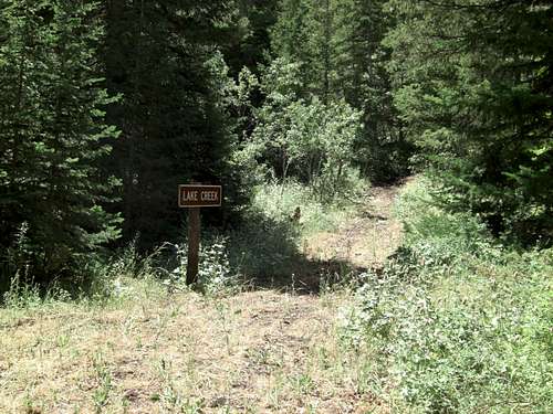
Faint trail to right of creek for shorter crossing across logs. Just after this creek, you'll see Trail-sign for "LAKE CREEK", turn Right/West and travel up steep hill.
LAKE CREEK TRAIL-SIGN:
N41.93725° W113.32663°
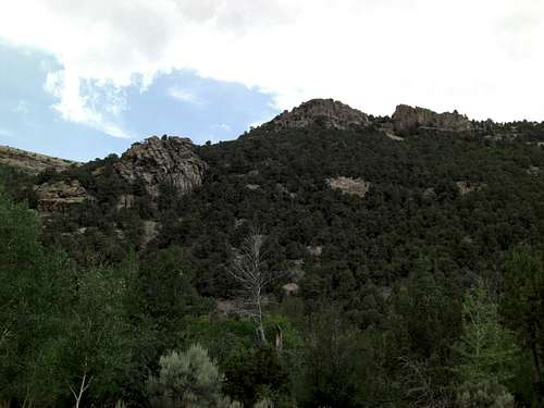
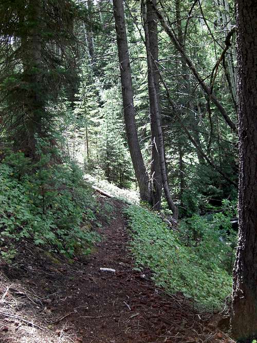
After initial steep section is nice pleasant stroll through shaded pine forest. For first half mile, that is.
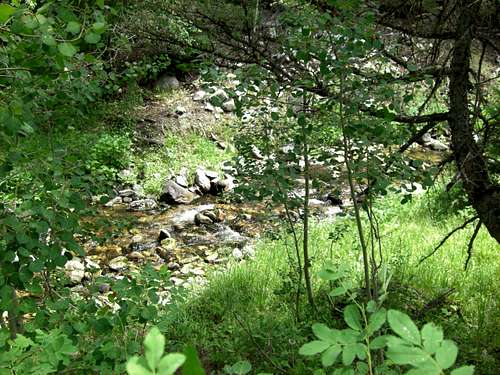
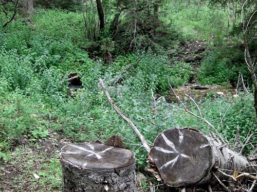
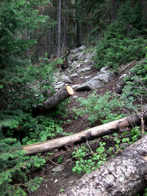
At 1.8 mile mark, you'll have to deal with massive-thick section of Class-3 dead-fall. If you have determination and purpose you'll only need to climb/crawl/jump for 100 yards, then you'll be back in more open pine forest for another half-mile to main creek-crossing over to West-bank at 2.3 miles.
CREEK-CROSSING TO WEST BANK:
N41.92808° W113.34075°
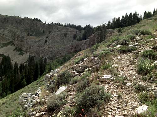
WEST-BANK HIKE:
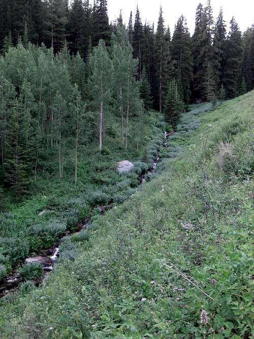
Once across onto West Bank, you'll have half-mile of easy enough to follow faint trail that cuts into very steep 60º hillside. So, take deliberate steps, else you could roll down long ways.
BUSH-WHACKING:
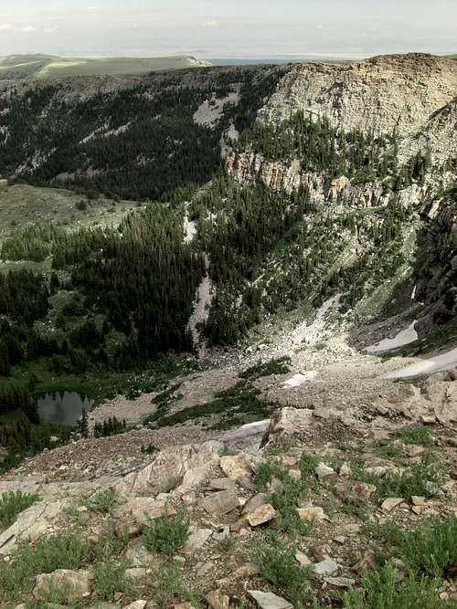
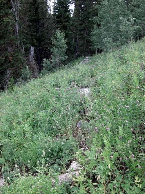
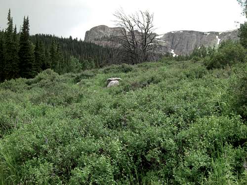
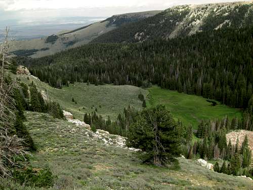
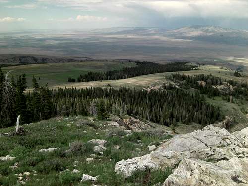
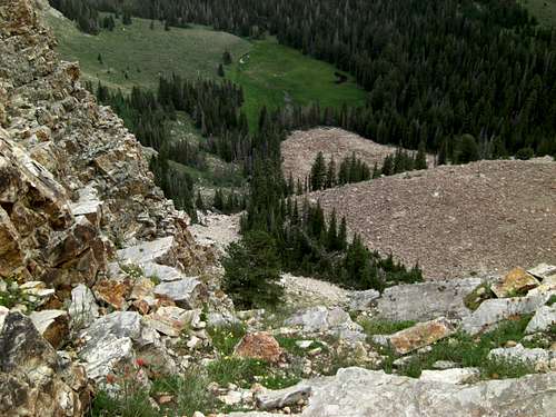
At 2.8 mile mark, I completely lost trail in forest amongst heavy brush and piles of deadfall. Not seeing easy way through within forest, opted to angle high/right for more open meadow area. But even meadow consisted of thick waist-high brush, sage, and tall sharp grass. At least had better visibility out there. Again, if you're determined, bush-whacking only lasts for half-mile and Bull Lake Cirque appears in front of you providing more motivation. Highly recommend leg-gaiters or long pants for this section.
MID-MEADOW WHITE SLAT:
N41.92157° W113.34850°
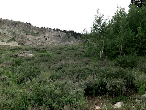
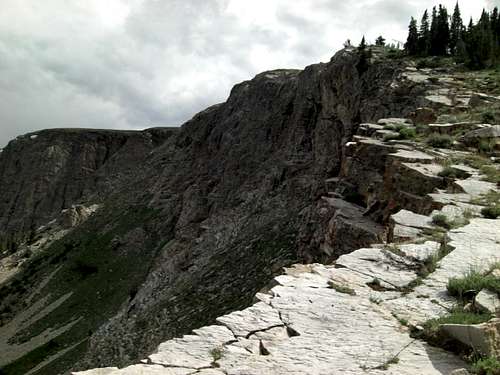
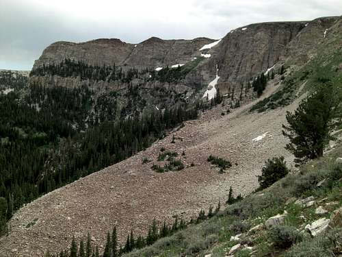
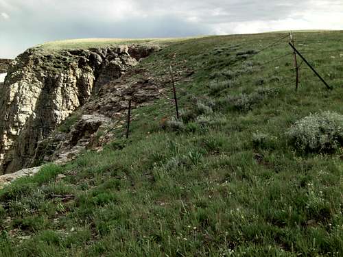
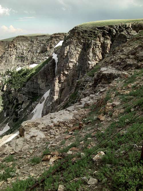
THE RAMP:
After reading trip reports, had envisioned having to scale couloir. But as I entered Bull Lake Cirque area, spied green hillside to right. No scrambling required!
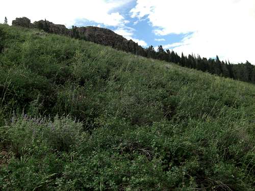
At 3.4 mile mark, is bottom of easy RAMP up right side of Bull Lake Cirque. The bushes and grass on RAMP are tamer ankle height and travel much much faster.
RAMP ends after 200 yards at White Slat Marker. Then you have option to fork right and take safer route through stand of trees or stay left and travel along rocky edge of Cirque.
I chose the Cirque route. After working so hard to get to this point, wanted to enjoy view down into Bull Lake Cirque and live on the edge. Just be sure-footed.
RAMP BOTTOM:
N41.91859° W113.35572°
RAMP TOP WHITE SLAT:
N41.91867° W113.35748°
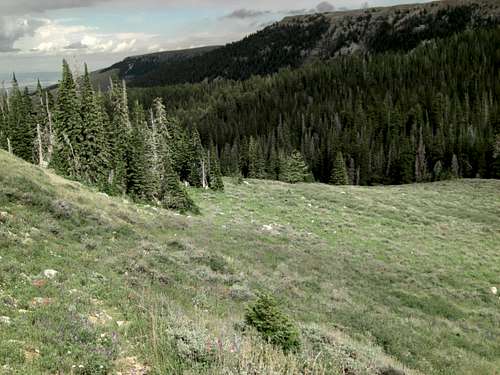
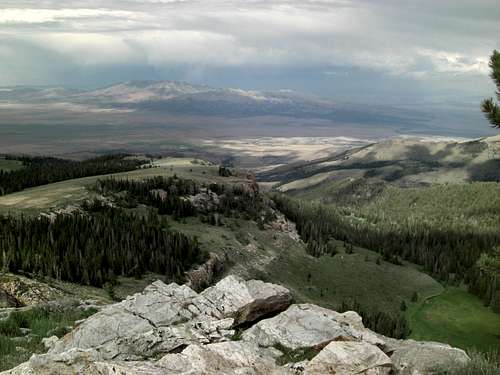
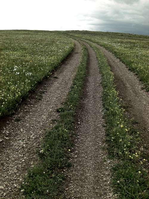
PLATEAU TO HIGHPOINT:
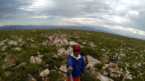
Once on plateau you can see across broad meadow to cairn marking Highpoint. You also spy three-track leading most the way toward your goal.
Yes, apparently you can drive all the way up here. But, didn't want to deal with reported rocky, rutted sections of the steeps to get to the plateau. Besides, where's the fun in that?
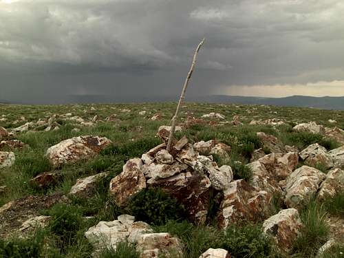
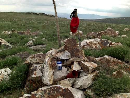
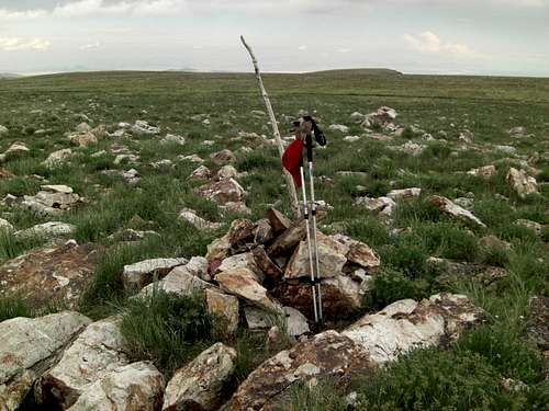
Highpoint Cairn has long branch in center and red-painted coffee-can housing mayo-bottle for Register.
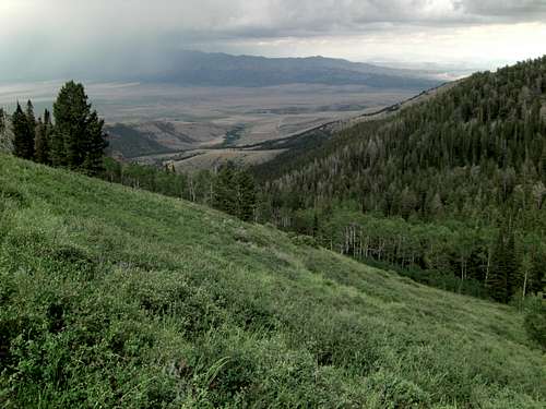
The 360º views were cool, except for the two Thunder cells toward the South and West fixin' to come together with me in between.
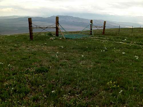
So, didn't stay as long as I wanted and made my way directly back to the Cirque through the Cattle-grate further down the fence-line.
Except for the 100 yard stretch of thick deadfall and half-mile of waist-high bushwhacking, this was an incredibly beautiful hike. Thanks for viewing.
BULL MOUNTAIN HIGHPOINT CAIRN REGISTER:
N41.91136° W113.36597°
Panoramic video from Bull Mountain Highpoint:
https://www.youtube.com/watch?v=fY0TG1kdjWM
Thanks so much for taking the time to put your trip report together. The pics and commentary are good stuff.
Comments
Post a Comment