
|
|
Route |
|---|---|
|
|
43.76130°N / 101.9276°W |
|
|
Hiking |
|
|
Spring, Summer, Fall, Winter |
|
|
Half a day |
|
|
Hike |
|
|
Overview
With a length of 5.2 miles, Castle Trail is the only official trail in Badlands National Park that is longer than one mile. It runs east-west connecting Fossil Exhibit Trailhead in the west to Castle Trailhead in the east. Both of these trailheads are on the park’s main road. Two miles from the west end of Castle Trail, a half a mile long spur trail known as Saddle Pass Trail goes down the steep badland mountains to reach the park’s main road. In the middle third of Castle Trail, an alternative path known as Medicine Root Trail can be followed. A number of other short trails/nature walks can be found at either end of Castle Trail as noted on the map below.
Getting There
Castle Trailhead is on the park’s main road 2.5 miles from its eastern entrance. Fossil Exhibit Trailhead is 9.5 miles from the eastern entrance.
Route Description
This is a description of Castle Trail from west to east (Fossil Exhibit to Castle Trailhead).
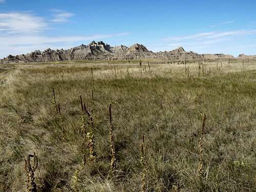
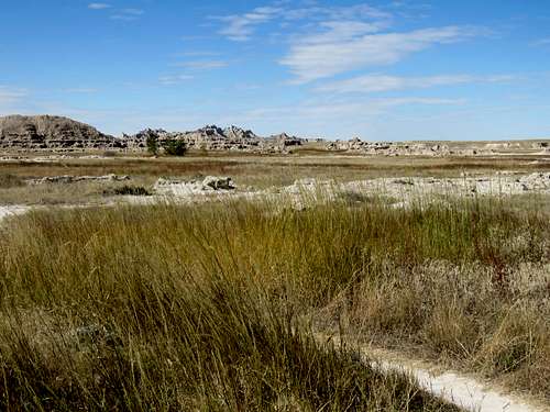
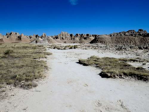
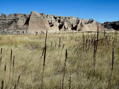
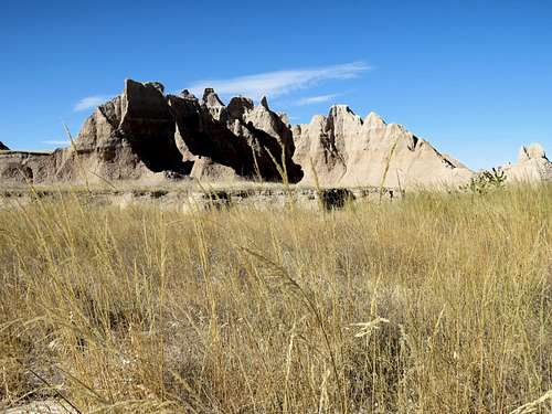
Near Fossil Exhibit Trailhead.
|
|
|
|
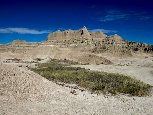
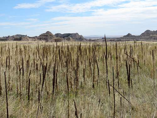
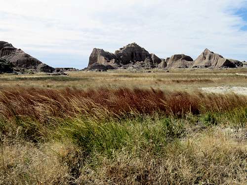
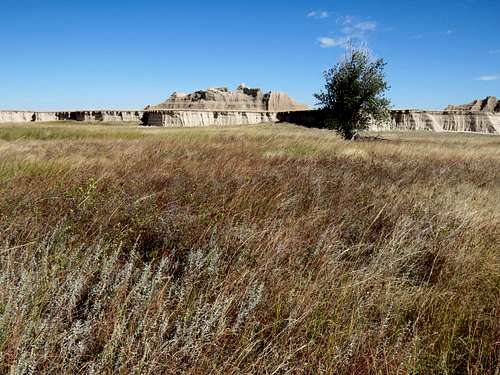
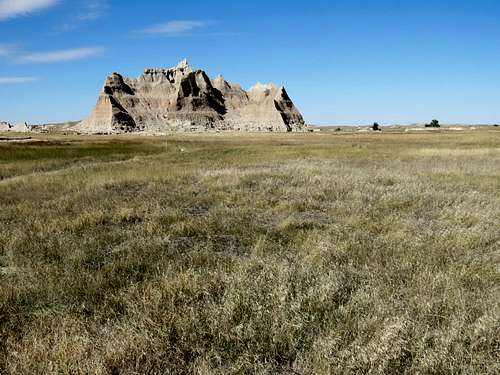
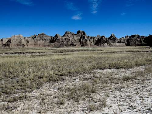
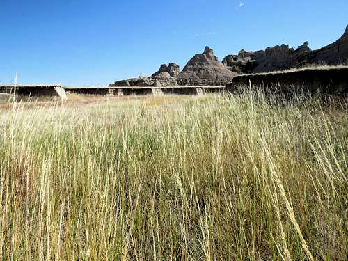
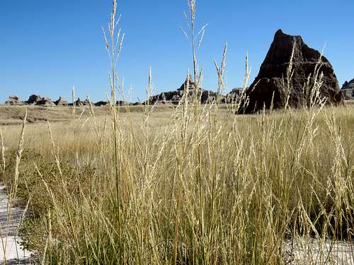
Heading east on the grassy plain.
|
|
|
|
|
|
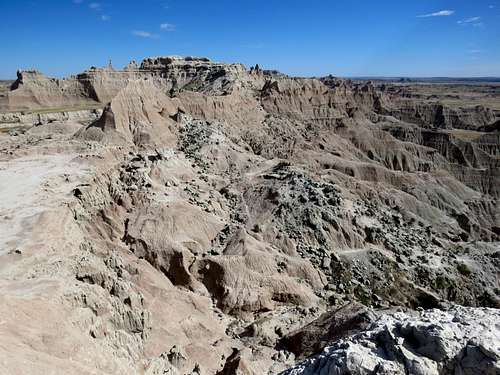
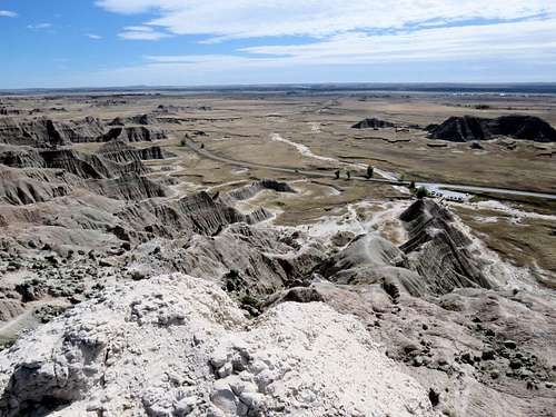
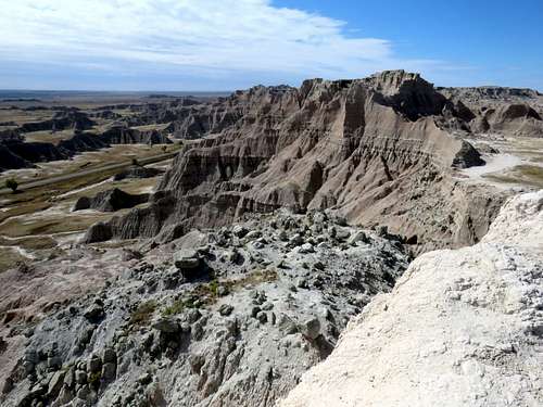
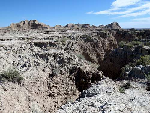
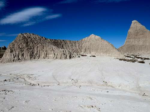
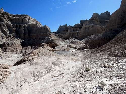
After about 2 miles, you will reach the junction with Saddle Pass Trail. If you go south on Saddle Pass Trail a short distance, you will find yourself on the edge of a plain where steep slopes drop 220 vertical foot down to reach the park’s main road.
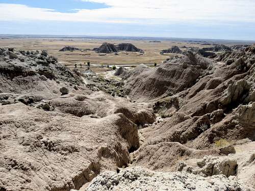
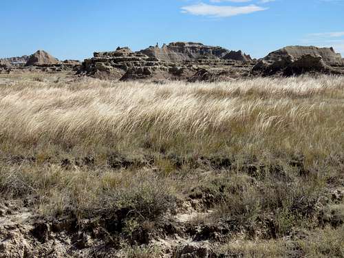
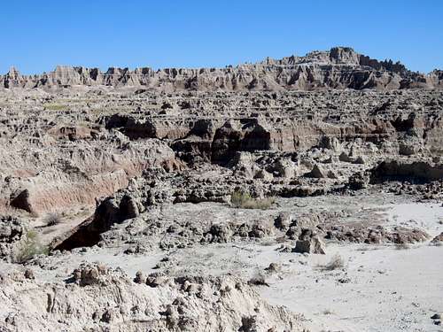
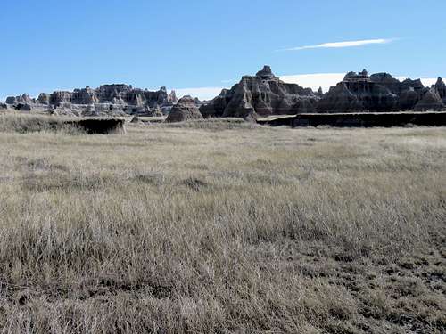
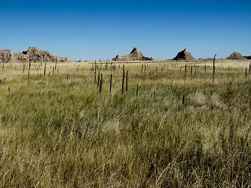
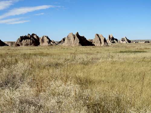
Looking east.
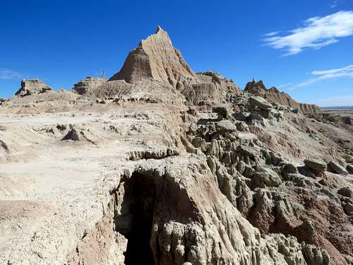
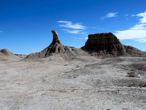
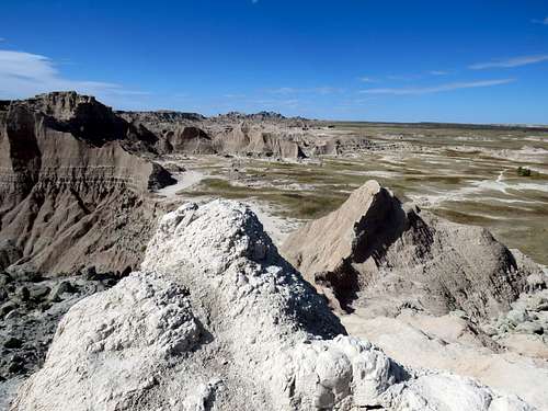
A peak is visible to the west at the edge of the plain. An unsigned path can be followed on the north ridge of this peak to reach its top.
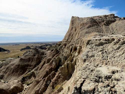
Views from the top of the peak.
|
|
|
|
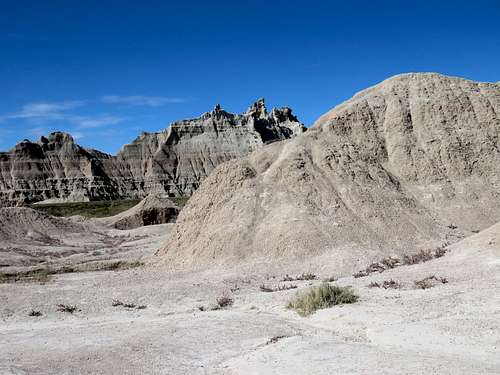
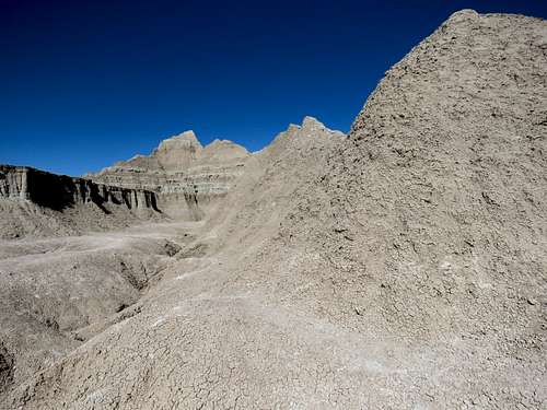
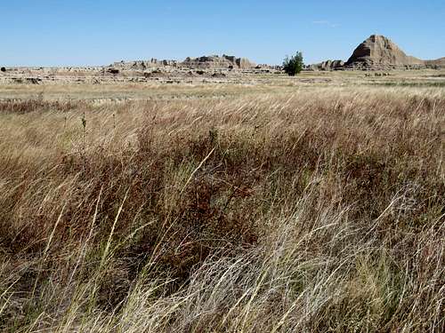
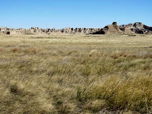
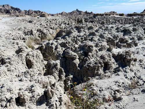
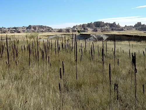
Continuing east on Castle Trail.
|
|
|
|
|
|
|
|
|
|
The trail crosses a dirt road.
|
|
|
|
Near Castle Trailhead.
|
|
|
|