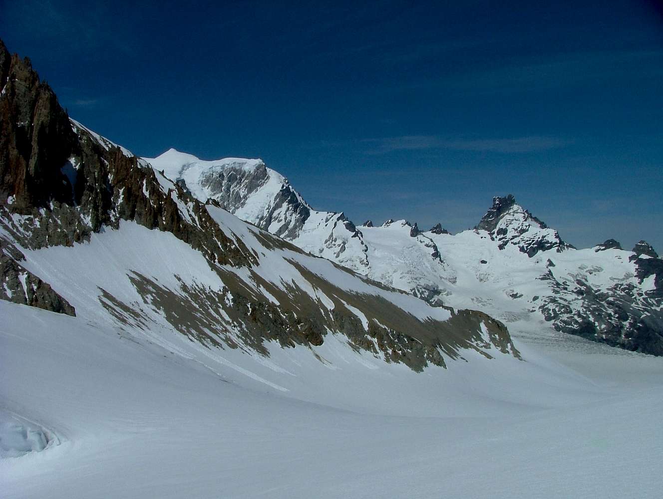
The upper part of the glaciar Calluqueo as seen from "Brecha de la cornisa".
The southsummit of Cerro San Lorenzo can be seen in the upper left side of this picture as a white pyramid.
The normal route (de Agostini) leads down about 200 meters of altitude from "Brecha de la cornisa" until the lowest part of the rocky spur is reached (located in the lower right part of the image). Behind the spur the route turns left and up again to reach camp 2 on a second icy and crevassed spur behind the rocky one (not visible in this picture).


