
-
 2321 Hits
-
 0% Score
-
 0 Votes
|
|
Route |
|---|---|
|
|
40.43150°N / 39.08635°E |
|
|
Hiking, Mountaineering |
|
|
Spring, Summer, Fall, Winter |
|
|
Half a day |
|
|
Class 2 |
|
|
Overview
This is the shortest route to climb Abdal Musa.Getting There
The road along Cit Creek to Gumustug is unpaved from Torul, but it’s in good condition. It takes about 1 hour to get to Gumustug from downtown Gumushane. Once in Gumustug, you can continue driving on the dirt road, which now becomes a bit more bumpy. You can continue driving to a "yayla" (summer camp for cattle/sheep herding) called Yilanli at an elevation of 2500m. If there is no rockfall on the road, a high-clearance vehicle can easily reach Yilanli, from where you can start your trip. If you like, you can start hiking on the dirt road before you get to Yilanli to enjoy the scenery more.Route Description
 Outline of two Cit Creek routes
Relative to the yayla of Yilanli, Abdal Musa is at the head of the next valley to the south. Hike over to the round ridge south of the yayla. Once on top of this green ridge, you should be able to see the summit of Abdal Musa looking towards the southwest. It's the peak in the back; there is a false summit along the rocky ridge leading to the actual summit. Before you proceed, take a break at the first stream crossing. Enjoy a snack and the scenery. You have many choices to get to the summit.
1) you can climb the crest of the rocky ridge (East Ridge route). This route climbs the false (east) summit and continues along the ridge to the actual summit.
2) you can follow the rocky ridge, but stay on the left (south) side of it for easier terrain. This route bypasses the false summit on its south side.
3) you can stay in the middle of the valley and hike west to reach the north ridge. Climb the north ridge to the summit (North Ridge route).
4) you can go for the peak directly and once at the base, pick a chute of your choice on the northeast face of the peak. This side is steep and snow covered until mid-summer. Ice axe and/or crampons may be needed.
The East Ridge route is recommended to make your climb more challenging. It also offers nice views of both sides of the east ridge. Route #3 is probably the easiest and most straightforward. Routefinding may require a little more attention for Route #2, but the terrain is not very complex. On your way down you can pick a different route to make your trip more interesting. Many variations of these routes are also possible.
Routes #1, #2 and #3 are all Class 2 unless you are off-route. If you are off-route, you may encounter Class 3 climbing, but nothing harder than Class 3 is necessary, unless you really want it. Route #4 is Class 3 or perhaps harder, depending on your line of ascent on the northeast face. Note: these ratings are based on YDS (Yosemite Decimal System.)
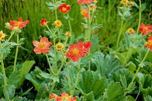 Wildflowers on the East Ridge of Abdal Musa