Cobb Peak

Cobb Peak

It was easy going during this part. It looked like our route would just go right up the middle but when we got to the top of the vegetated slope, we had to cut left above the cliff and work our way down and around and then up a chute. Actually, the routefinding was fun and since we had no info on this peak at all, not even a topo map, we matched ideas as to the best way to go. 4-30-09
Dean
on May 1, 2009 12:55 pm
Image ID: 510440

Comments

Post a Comment
Viewing: 1-1 of 1

listorama - May 2, 2009 6:33 pm - Hasn't voted
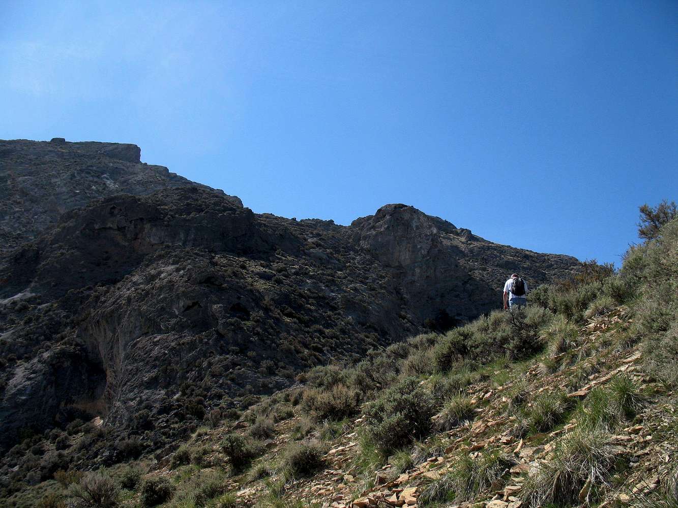
Topo

I think a topo for this terrain would only be good for roughly comparing slope gradients. So many little cliffs are hidden between the contour lines.

Viewing: 1-1 of 1