-
 1976 Hits
-
 73.06% Score
-
 3 Votes
|
|
Route |
|---|---|
|
|
58.65510°N / 134.90088°W |
|
|
Download GPX » View Route on Map |
|
|
Hiking, Mountaineering |
|
|
Spring, Summer, Fall |
|
|
A long day |
|
|
Class 4 |
|
|
Overview
The Dean Mountain Route starts from a gated road near Echo Cove and it is 15.8 miles round-trip. Follow the road till a creek is reached. Climb steeply uphill off the road and follow the prominent ridge to the North-East. Eventually treeline is broken and the route steepens into a scramble about 3000' and continues to the top of the ridge. Turn to the East into the basin with twin lakes and skirt the right side of the glacier. Once on the glacier, generally follow it to the summit. Approach was done from climbers right with some 4th class rock encountered.
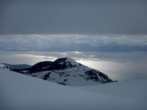
More details are in the Route Description and on the attached .gpx file.
Avalanche danger may persist until summer.
Getting There
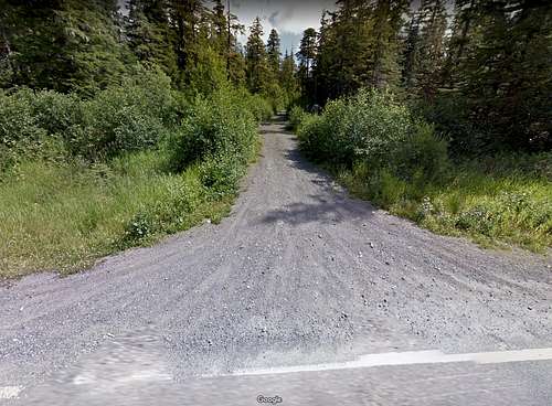
To access the trail to Dean Mountain from downtown Juneau, Drive out Glacier Hwy almost to Echo Cove boat launch. There is a turnout just to the right with a faded yellow gate at 58.655098, -134.900880 that you will start from.
Route Description
The route starts from the road with the yellow gate. Follow the road to the gravel pit and turn uphill till an intersection is reached. Turn right and continue until the road crosses a creek. Turn steeply uphill before the creek and thrash through thick brush. Eventually old growth forest is reached and the brush subsides greatly. After a few miles on the ridge, it becomes really rocky and steep at about 3000'.
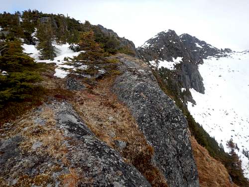
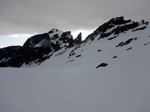
Scramble your way up the ridge and turn to the east to the 'Twin Lakes' in the basin. The second photo is looking back at the ridge from the basin. From here, hike on climbers right of the glacier until you find a safe entry onto the ice. Basically stick to the center of the glacier and make your way to the peak. I chose to access the summit block from climbers right and it was a moderate 4th class scramble.
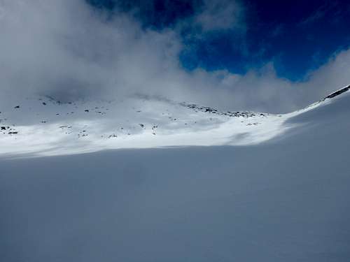
Unfortunately my view was clouded, but this is the view up the glacier till about 5000' where the cloud line is.
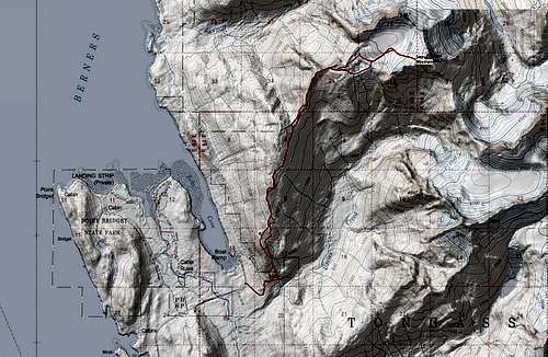
See attached .gpx for an exact route or check out the Juneau Hikes and Summits CalTopo page.
Essential Gear
Crampons, ice axe, mountaineering boots or stiff waterproof boots are necessary and gators help keep your socks dry. Having a SPOT or InReach is a great idea. Bring extra dry/warm stuff.

