

Kane - Aug 3, 2008 4:21 pm - Hasn't voted
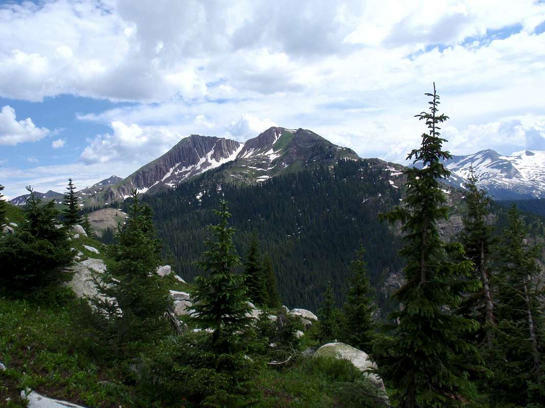
One moreI think you're descending into the Lead King area. Hasley Basin is up to your left. UN12,665 is your highpoint in the photo.

Westcliffe Willie - Aug 3, 2008 6:39 pm - Hasn't voted
Re: One moreUnfortunately, I don't have a map of the area and some was from memory. I know as we were heading down into the basin, we came across 3 trail options. One to Lead King Basin, One for Hasley Basin and the other, frigid Air Pass. I think I better run the next one by you, before I publish it.
Kane - Aug 3, 2008 8:51 pm - Hasn't voted
Re: One moreYou could argue Hasley or Lead King. I say Lead King because looking at a map, its clear that Hasley is the higher basin than Lead King. The trail descends to the Lead King area and eventually ascends to the higher Hasley Basin. Just my 2 cents.
Yes, I do get around in the Elks. The Elks, along with the Gores and Lost Creek Wilderness are "home" to me. My "2007" page will show some ascents of many of the peaks you hiked on by, peaks like Trailrider Peak, UN13062 and 12,665. I also maintain mountain pages Buckskin BM, UN13,039 (two peaks from Buckskin Pass) and the very nice Belleview Mountain.
Westcliffe Willie - Aug 4, 2008 4:54 pm - Hasn't voted
Re: One moreWasnt arguing.
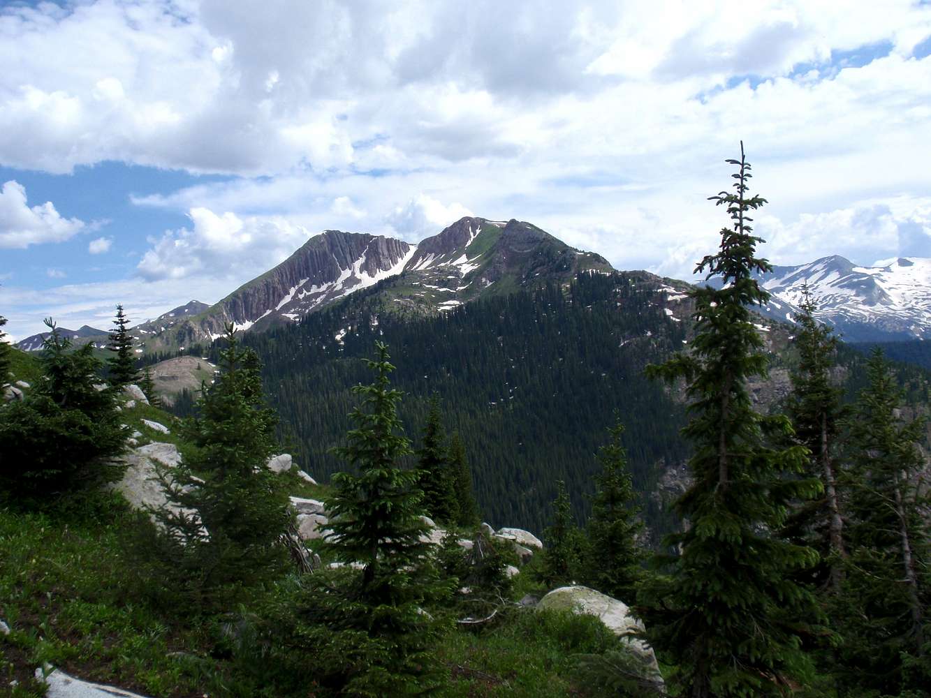
Looking at a map I have, if you head west from Trailrider Pass to Geneva Lake and down(south), you run into Lead King. We did not go that route.
If it makes any difference, we didn't go all the way to Geneva Lake and then down into the valley. We cut off about a mile or so before getting to Lake Geneva and took a secondary trail due east towards Frigid Air Pass.


Comments
Post a Comment