
-
 2911 Hits
-
 72.08% Score
-
 2 Votes
|
|
Route |
|---|---|
|
|
46.72220°N / 12.84330°E |
|
|
Hike, later Scramble |
|
|
Half a day |
|
|
Scramble-Up |
|
|
Approach
The trailhead is at the hamlet of Assing on the northern slopes of the Lesachtal Valley. Follow the signs (mark 9) "Almwanderweg".Route Description
- Start altitude: 1427mm
- Summit altitude: 2286m
- Prevailing exposition: N
- Type: 1h over paths, 1h over forest roads, 2h over unmarked meadows
- Protection: mostly marked but without security
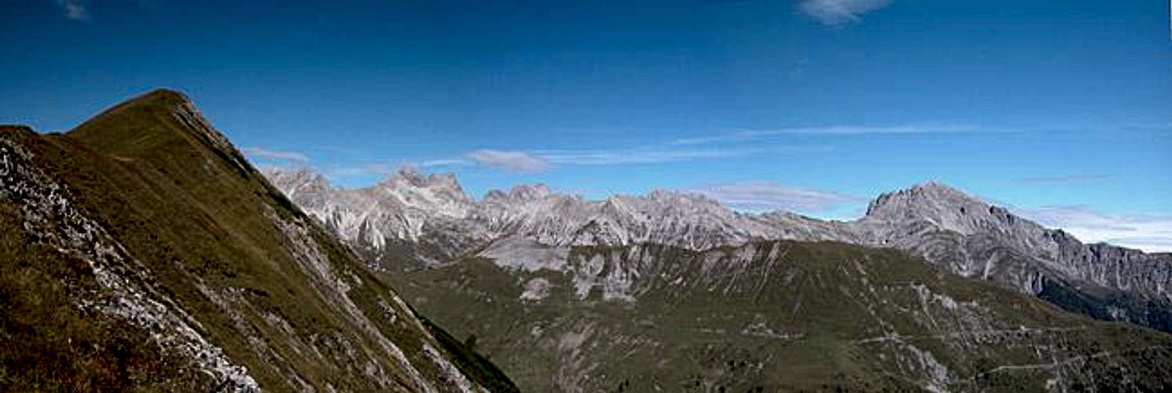
From the trailhead at Assing follow the sign "Almwanderweg", marked "9" to the east. The trail runs through a dense forest without any views until you reach Oberrasteralm. From there turn north onto a forest road which will take you to Motalm. Here turn to the east, direction Grifitzbühel. You will reach a couple of cabins (haystacks) at the east end of the Lumkofel East Ridge. Here use your best judgement to get onto the ridge over the steep 60° ascent over grassy slopes. Always head for the easternmost point of the ridge.
Once on to, orientation gets easy again. Follow the ridge (indented by several bowling alleys) towards a saddle in front of the Lumkofel summit block. From the saddle head east trail-lessly until you reach the Lumkofel real summit. The summit Cross is located to the south.


