Find the TH!

Find the TH!

Page Type Page Type: Album
Additional Information Image Type(s): Hiking

Getting there...

Camino de las Remedioskeep turning left

Always turn left

CampGo AROUND the NE Ridge. We started too low & ascended the south aspect.
pass the old tankContinue on the Jeep Road past the old tank
up the drainageat about mile 2 on the Jeep Road, directly facing the triangle buttress on the NE Ridge, start up a drainage
 TH  signthere's a washed out BLM sign indicating that you can't take motorcycles up this mountain...
Tour Guidefollow the tour guides up the lower drainage
Upper drainagecontinue up the obvious route in the center of the channel

Now that you've found the right trail...

Upper drainagebe watching for the trail to leave the right bank of the gully and up the north terrace, then continue around the head of the channel toward the ridge
Route findingthere are a lot of cairns and trail tape, but it can still get away from you if you're not careful
NE Ridgeonce up there, continue on the spine to the south and gain the summit ridge to the base of the outcropping
the basethere's a nice trail along the base that was comforting to find

NE Ridge

3rd class3rd class
SummitObligatory summit photo
[img:762822:aligncenter:medium:3rd class][img:762823:aligncenter:medium:Obligatory summit photo]

Comments

Post a Comment
Viewing: 1-1 of 1
Bezoar Goat

Bezoar Goat - Nov 28, 2011 6:25 pm - Hasn't voted
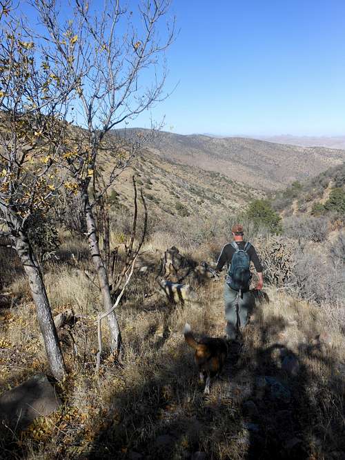
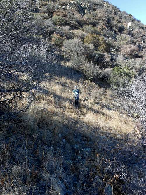
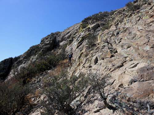
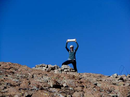
this trail

This was a magnificent climb of a peak I've been driving past for years. We showed up without a current map and a dead gps, with a vague idea that there was a ridge from the east that needed following. It was refreshing to go out and spend a day route finding on trails that haven't yet been gentrified. At the same time, the cairns were welcome landmarks, and it seemed everytime we were about to take a bearing & strike out on our own we would find another marker & a faint path through the brush.

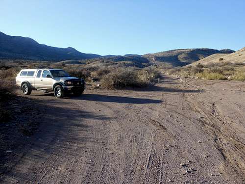
The "Jeep Road" allows access without any gates or corrals, and apparently it crosses over to the west foothills & spits you out somewhere near the City of Rocks. That would be a fun day on a MTB or something...

There are additional route comments attached when you click on each photo. Any comments to these photos are most welcome.

Viewing: 1-1 of 1


Parents 

Parents

Parents refers to a larger category under which an object falls. For example, theAconcagua mountain page has the 'Aconcagua Group' and the 'Seven Summits' asparents and is a parent itself to many routes, photos, and Trip Reports.