
-
 6234 Hits
-
 74.92% Score
-
 5 Votes
|
|
Route |
|---|---|
|
|
39.37150°N / 105.7408°W |
|
|
Hiking |
|
|
Spring, Summer, Fall, Winter |
|
|
Less than two hours |
|
|
Overview
Graceful Mount Silverheels rises between the towns of Como and Fairplay. | 25 Dec 2012
This simple route is best saved for winter when the crowds are thinner and the roads are more than likely snowed closed. In fresh powder, this is a mellow snow romp and a nice way to stretch the legs when you are short on time, happen to be in the area or just want to sleep in and take it easy. The route follows a system of Forest Service roads for most of its duration except for a minor off-trail segment to find the actual highpoint. The views from the top of this mellow little mountain will not disappoint!
Special note: This area is popular with elk hunters in the fall and winter months. Have your dog on leash, wear some bright colors, and if you encounter hunters, make sure they are aware of your presence (i.e. when you’re out in the sticks, don’t sneak up on the guy with the “big pickup truck and the .30-06”).
<b>RoundtripDistance: </b> 2 miles
<b>ElevationGain: </b> 325 feet
<b>YDSClass: </b> 1+
Getting There
Parking
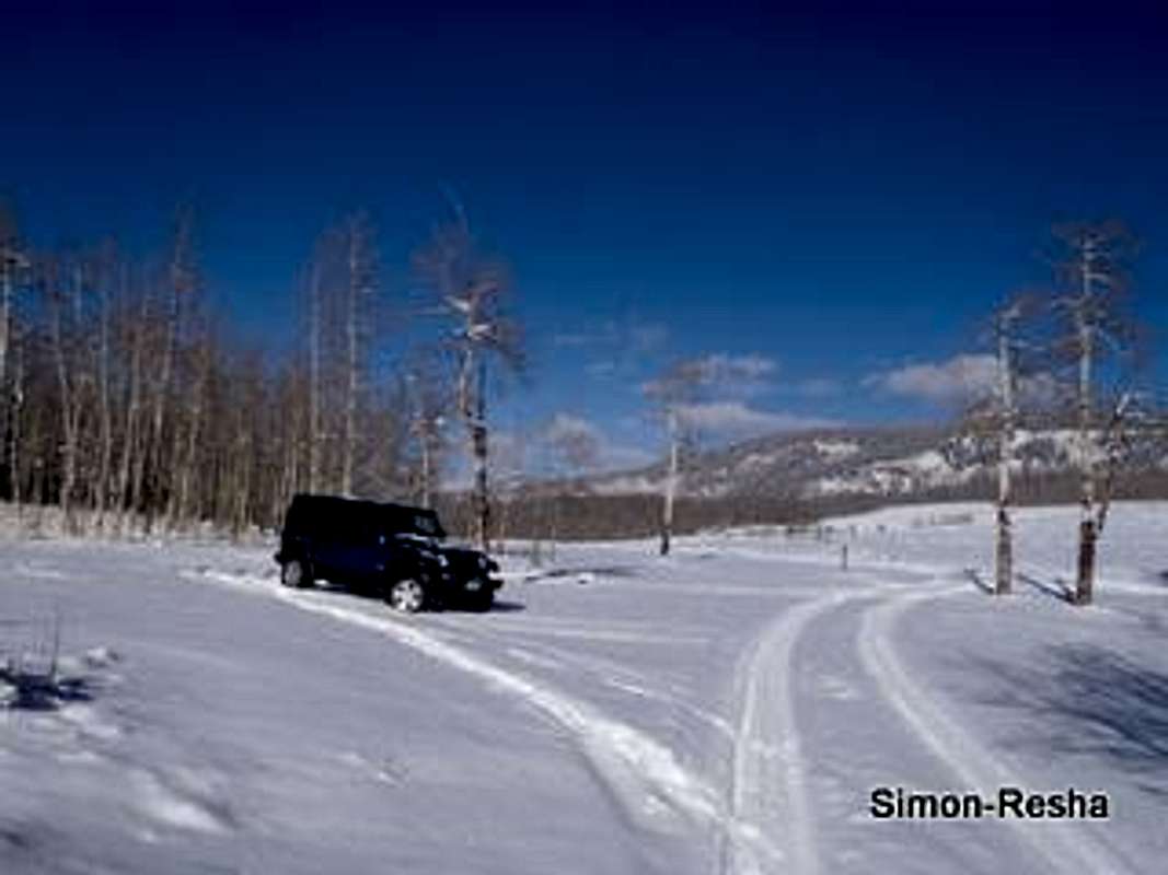
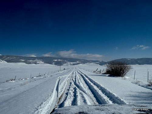
- From Hwy 285 near Jefferson, turn east on CR 56 (Lost Park Road) which turns into FSR 56.
![Lost Park Road]()
Lost Park Road - Follow CR 56 / FSR 56 for just over 3 miles.
- Turn right on FSR 130 and park.
In the dry season, you can drive to within a few feet of the summit, if that is your preference.
Route Map
 CO 130 |  Map designed Feb 2013, based on GPS track. |  Turnoff to summit |
Route Description

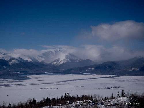
The Twin Cones

Mosquito Range

Walking along FRS 130

Beginning the Descent
Essentially, this route follows FSR 130 all the way to within a few feet of the summit. In reality, however, this area is a bit of a rabbit warren of roads, not all of which are marked.
•From the parking at the junction of FRS 56 and FRS 130, head uphill to the south. Crest the gentle ridge – you may notice a small dirt road leading to an informal campsite on your right.
•Head down a gentle hill into the drainage that includes Clark Spring. Here, contrary to what many maps represent, there is actually a sizeable road junction.
•Turn right, heading up a hill out of the drainage (staying on FRS 130, though there likely is no signage).
•After a brief climb, most of the elevation gain is behind you and the views really start to pop.
•Near the highest point in the road, look for a short turnoff on the right that may be marked “No motor vehicles.”
•Follow this to the summit, marked by a small cairn with a summit register sitting among scrub oak and sapling aspen.
Essential Gear

Down into the Gulch

Puma Hills
•Map & compass and/or GPS
•Comfortable hiking boots or shoes
•Outerwear appropriate to the season
•Snowshoes or skis in snow season
•Water and snacks
•A camera to save memories of the high country views
•First aid kit
•Other standard backcountry essentials
External Links
If you have any trip reports of other external resources related to this route, please notify me via Additions and Corrections and I'll add it here. Thanks!