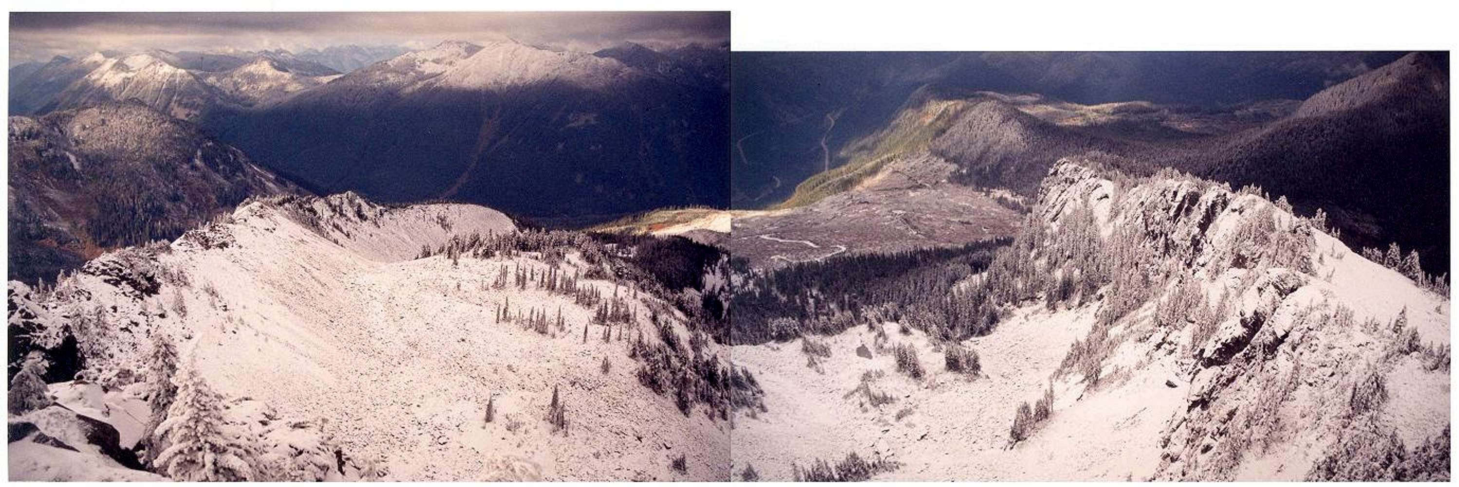
From the summit, looking down into Silver Peak's North Basin on October 29, 2002. The North Basin is quite feasible as a route to the summit (some minor scrambling to get through cliffs at head of basin). The road at Windy Pass (where the PCT crosses) is just out of sight behind the ridge at right-center. The North Basin Route would probaly take half-as-long as the South Spur Route if you're comfortable with cross-country. Heck, there may even be a boot path. Incidentally, that's
Granite Mountain at top-right of the left panel. I-90 can be seen at top-left of the right panel.


