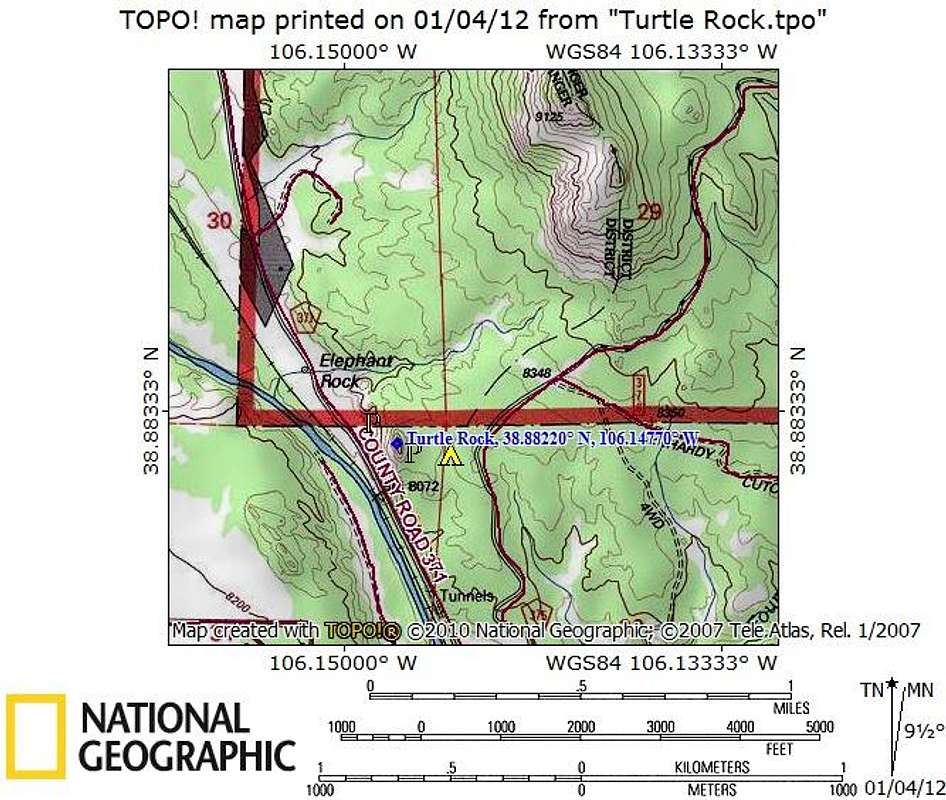
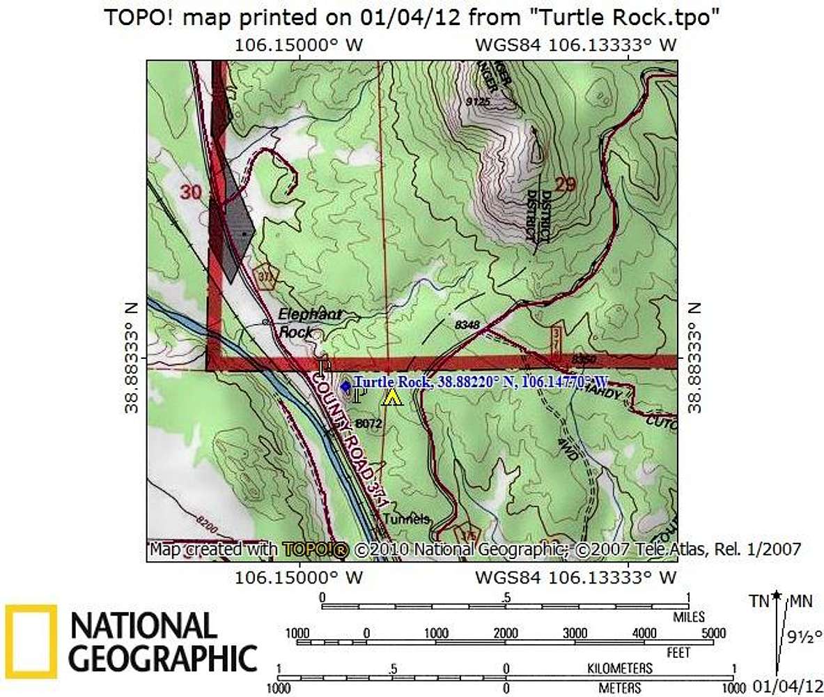
The summit of Turtle Rock sits just 3 miles north-northwest as the crow flies from the town of Buena Vista, Colorado. From the traffic light on U.S. 24 in Buena Vista, turn east onto Main Street. After.2 miles, in the center of old town, turn north (left) onto Colorado Avenue (which becomes Chaffee County Road 371). After about 2.2 miles, CR 371 turns into a graded dirt-road suitable to all passenger cars. From this point, there are two options for parking and approach (east and west).
Map designed January 2011


