Gorge du Dard below Arbole/Comboé Basins & above Pollein Municipality
Highest sector of Gorge du Dard between Becca di Nona (3142m, to the left or East) and Pointe de Ponteilles (about 2262/3 meters, in West) from North.
In background and from left: Colle della Valletta (about 3000 meters), Punta della Valletta (3090m, in East), Mont Bellefaçe (2970m, in Northeast) above Arbolle or Arbolle Valley and Testa Nera (2820m, to the North) over the same in left and above Comboé Vallon in centert.
In the middle upper right or Northwest: the ridge between Testa Nera and Pointe de Ponteilles said as Costa di Chamolé (2640 meters or Chamolé 's Col, 2580 meters, 2485 meters, 2437 meters or Col Replan Southern, Quota 2457 meters or Pointe de Replan, 2366 meters or Col Replan Northern, 2356m.
In bottom: Pollein Municipality with its hamlets, fractions & small villages.
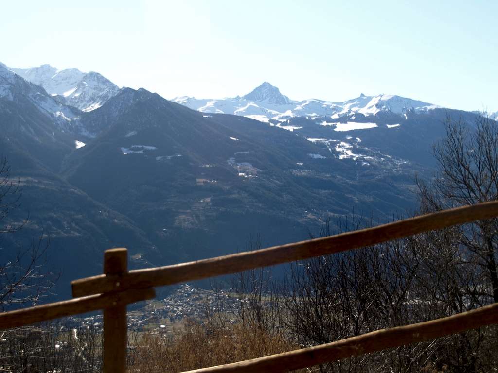
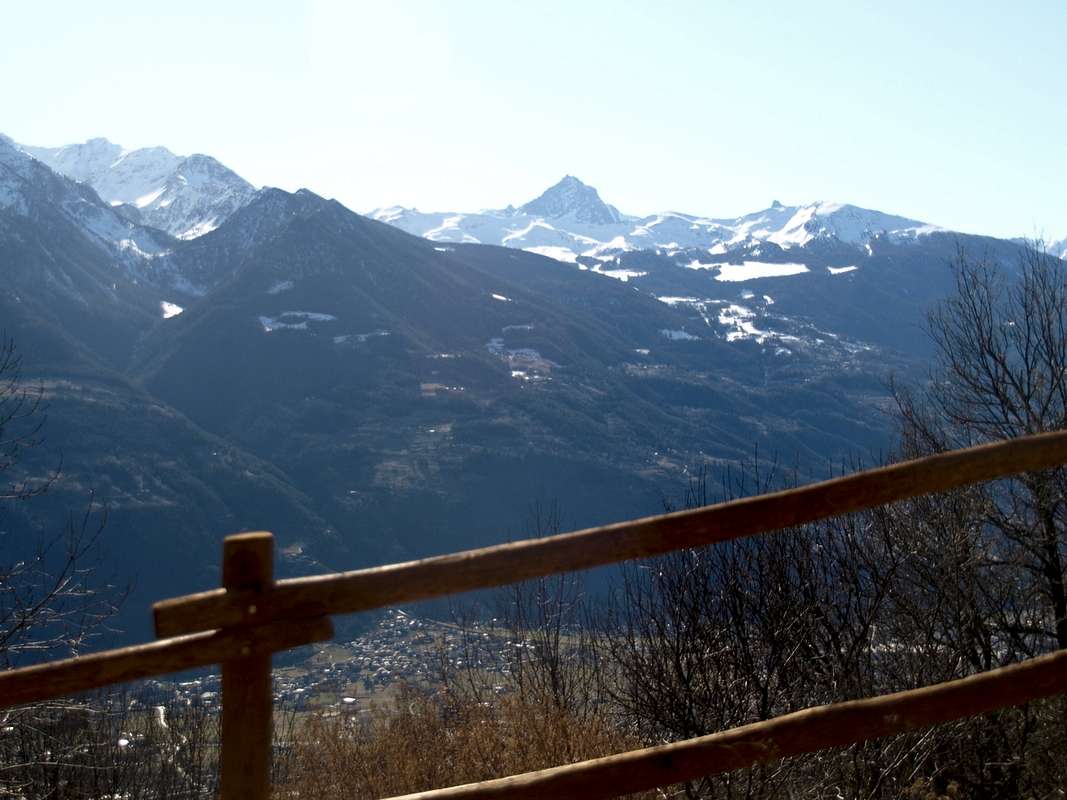
In distance to the Southwest: the Grivola Group dominating the Pila 's Basin.
February 12th, 2020
Photo
by
Osvaldo Cardellina


