-
 5755 Hits
-
 71.78% Score
-
 2 Votes
|
|
Route |
|---|---|
|
|
47.35450°N / 10.09980°E |
|
|
Hike and Scramble |
|
|
A long day |
|
|
Walk-Up |
|
|
Approach
See the main page for the Getting There info. A little north of Oberstdorf a side road turns off right (west) into Rohrmoos Valley. Follow the narrow road to its end in RohrmoosRoute Description

- Start altitude: 1100m
- Summit altitude: 2232m
- Prevailing exposition: N
- Type: 4 - 5h (one way) on marked paths
- Protection: marked trail, easy to find until you reach Gottesacker. Up there multiple possibilites marked by little cairns
Don't do this hike in foggy conditions nor at night! Orientation on Gottesacker is difficult even in perfect weather!
Despite the warning written above I prefer this long approach to Hoher Ifen to the dull normal route which is polished by the tourist masses. It is solitary until you reach Ifenmauer beneath the summit. The Gottesacker Plateau is so wide, possible routes are so many, the crevices and crags obstruct the view so that you barely meet any other party.
Rohrmoos Valley is located on the European watershed. The creeks west of the little hamlet drain into the Tributaries of the Rhine River and thus find their way through all of Germany to the North Sea and the Atlantic, while the eastern creeks drain into the Danube basin and thus end up in the Back Sea and the Mediterrenean. Almost exactly where the watershed is located a path leaves the narrow Rohrmoos Valley Road and immediately heads throgh the lower walls of Gottesacker (Untere Gottesackerwände). It is an easy but very steep trail which will soon take you to a high valley.
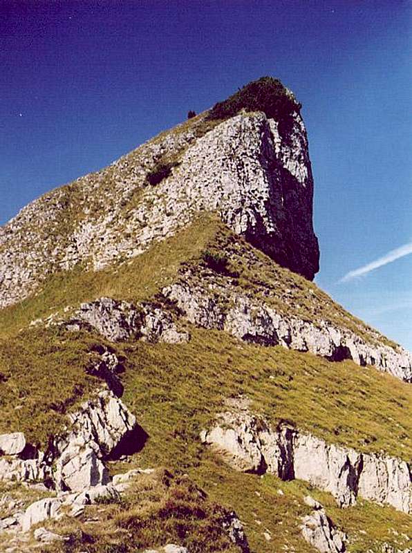
Beyond the little valley you can see the giant (next) step of the Upper Gottesackerwände, which are scaled on their eastern side. A second trail from Riezlern joins just below the walls. The climb uses fixed cables to reach the top of the walls near the Torkopf Crag (large pic).
From here you have a good view across Gottesacker towards Hoher Ifen. It is very difficult to describe the path. It is marked by cairns but you will soon realize that there are many possible routes. All scramble up the crags and down the crevices, you are forced to do many detours. For orientation use the high points and don't lose your cool if the next highpoint is where you didn't expect it.
The nearer you get to Hoher Ifen the more crowded it gets as the many possible routes combine for the final ascent of the summit block. This final part follows a steep ledge in Ifenmauer which quickly reaches the summit plateau. Follow the edge of the plateau westward to the summit


