One of the normal routes to Allen Crags heads up from Seathwaite on the good path along the Grains Gill, and a little higher up along the Ruddy Gill. It's a good path and while there is a bit of elevation gain, the hiking is easy.
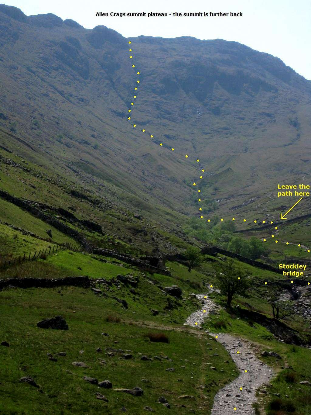
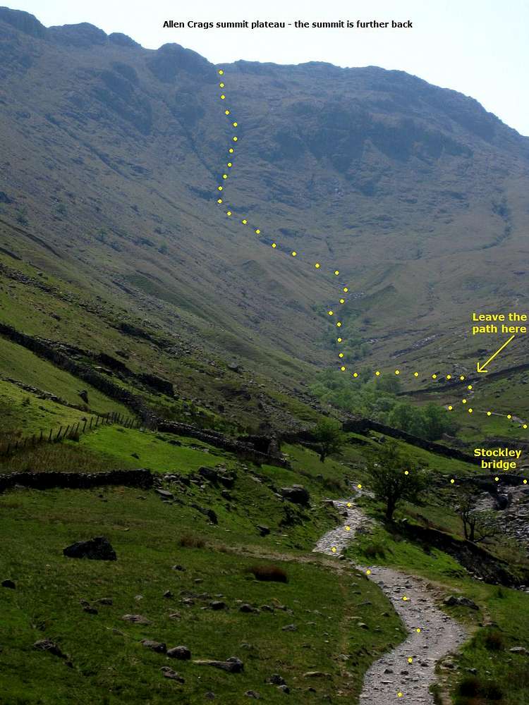
A shorter but much harder way up is to leave the trail a few minutes before reaching the point where the Ruddy Gill joins the Grains Gill and follow the Grains Gill straight up. There is no trail whatsoever, just follow the stream. At some places, that's not too hard (apart from all the ankle twisting boulders that is, some made slippery by water and moss), at others the stream suddenly enters a steep canyon with sheer walls up to 20m.
Normally, the amount of water is not a problem, but, obviously, that can change quickly with a bit of rainfall. On the good side, the catchment area is very close (these slopes themselves, and a small part of the summit plateau just behind it), so if you have good weather, you don't have to worry about flash floods caused by rainfall far away.
For the most part, this route is a very strenuous hike. If you follow the stream all the way, this is a Grade I/II scramble. The water and moss make it even more interesting, to put it mildly. The hardest parts can be avoided by easy scrambling out of the canyons before it gets too steep for that, and following the bank of the river for a short while.
24 May 2012.


