Toggle navigation
Mountains
Routes
Images
Trip Reports
Forum
What's New
People
Areas & Ranges
Articles
Trailheads
Canyons
Huts & Campgrounds
Albums
Logistical Centers
Fact Sheets
Lists
Custom Objects
Gear
Plans & Partners
WELCOME TO SUMMITPOST
SIGN IN
REGISTER
Mount Watson
Additional Parents
Image
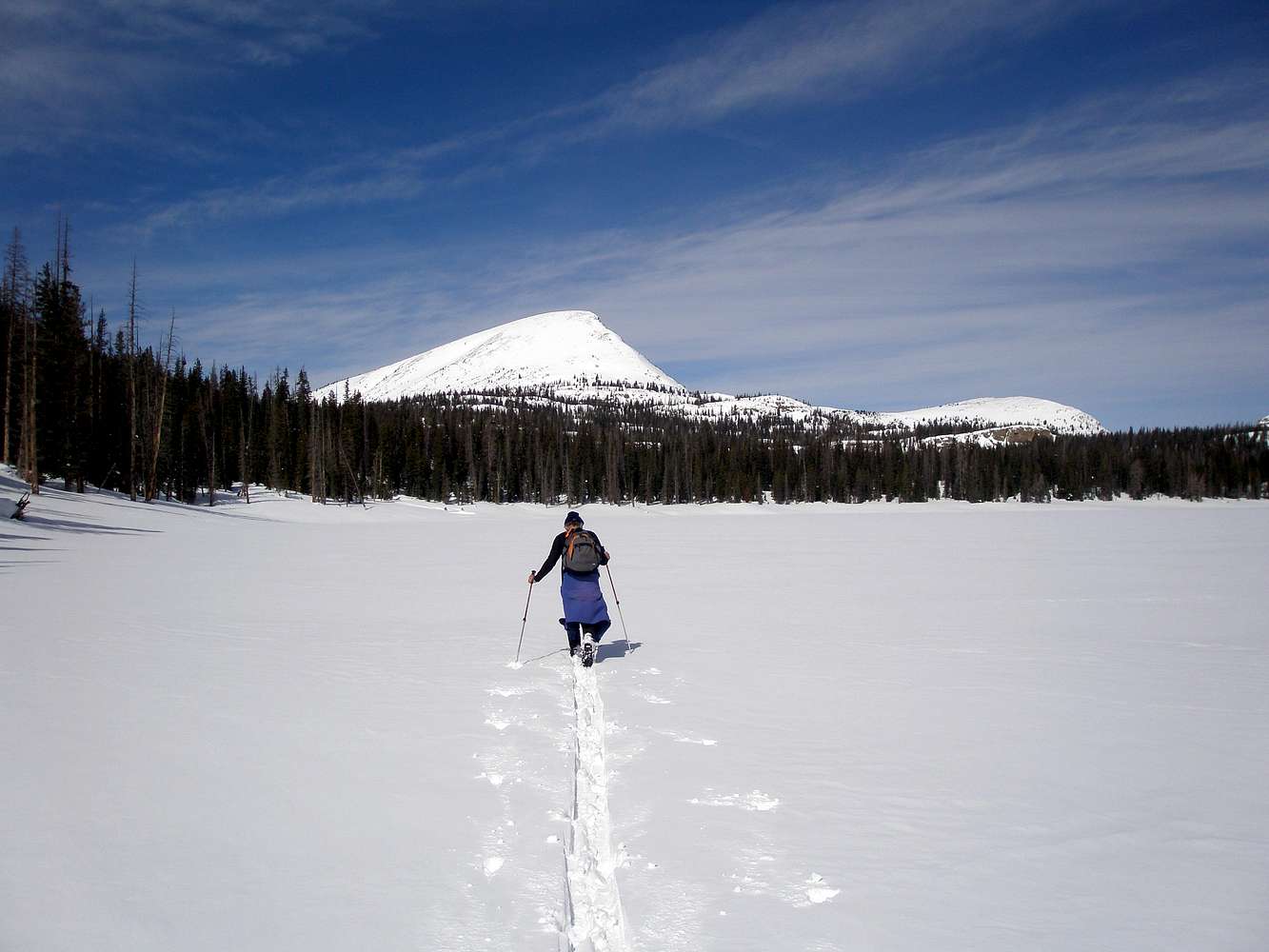
Heading toward Mount Watson
View High-Resolution Image
Heading toward Mount Watson
Crossing Washington Lake, Mount Watson looms ahead, 2 miles and 1500 vertical feet to go. Our ascent route followed the ridge on the right. 2-28-2009
« PREV
NEXT »
ZeeJay
on
Mar 4, 2009 7:39 pm
Comments & voting
Other parents
Lat/Lon:
40.67478°N / 110.97165°W
Image Type(s):
Skiing
Image ID:
495259
1006 Hits
73.06
% Score
3
Votes
Log in to vote
Comments
No comments posted yet.
to post!
Don't have an account?
Mount Watson
(Mountain/Rock)
« PREV
Viewing
#34 of 78
GALLERY
NEXT »
ZeeJay's Image Gallery
« PREV
Viewing
#1352 of 1388
GALLERY
NEXT »
×
You need to login in order to vote!
User Name
Password
Remember me
Forgot your password?
Log me out when I close my browser.
Keep me logged in all the time.
sign in as a user
Don't have an account?
Register now for FREE
Rating available
Suggested routes for you
People who climb the same things as you
Comments Available
Create Albums
Register Here


